Unit 1 AP Geo Vocab Yellow
 Call Kai
 Learn
Learn Practice Test
 Spaced Repetition
 Match
Match Flashcards
 Knowt Play
1/45

There's no tags or description
Looks like no tags are added yet.
Name | Mastery | Learn | Test | Matching | Spaced | Call with Kai | Chat |
|---|
No analytics yet
Send a link to your students to track their progress
46 Terms

absolute location
A precise position on Earth’s surface
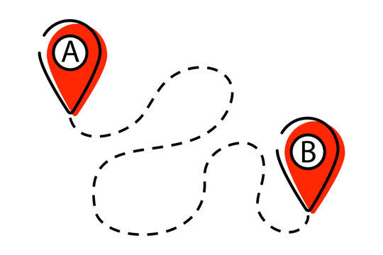
accessibility
The possibility to reach another location to another location. Accessibility varies from place to place and can be measured.
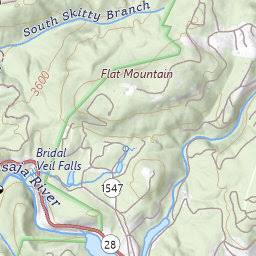
Cartogram
A map that distorts the geographic shape of an area in order to show the size of a specific variable; the larger the area on a cartogram, the larger the value of the underlying variable
(When a map makes a mountain flat or takes away its 3d dimensions)

Cartography
The science of making maps
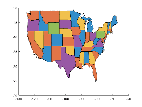
choropleth maps
A thematic map that shows data aggregated for a specific geographic area, often using different colors to represent different values
(a map with different colors showing different data, geographic areas, and values)
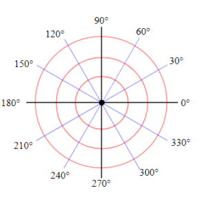
circular distribution
Phenomena are equally spaced from a central point, forming a circle, such as distribution of the homes of people who shop at a particular store
(Things distributed from a point in the middle circling around the point)

clustered
when objects in an area are close together
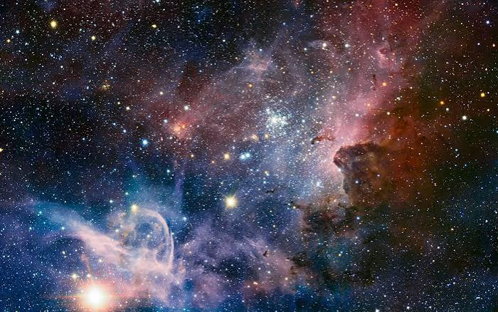
concentration
a property of distribution across space that measures how spread out a feature is
(measuring how spread out a feature is from space)

connection
Refers to the relationship among people and objects across the barrier of space
(the connection of people and objects across space and Earth)
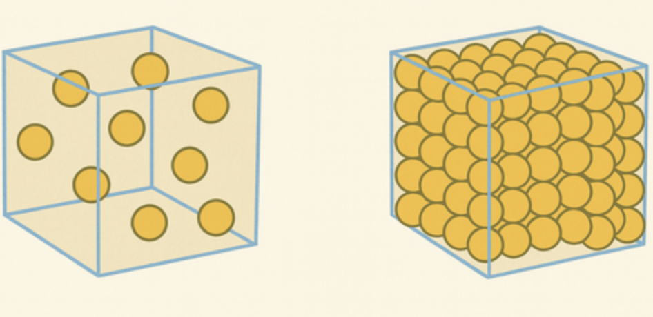
density
The frequency with which something exists within a given unit of area
(where something exists in a specific boundary of units)
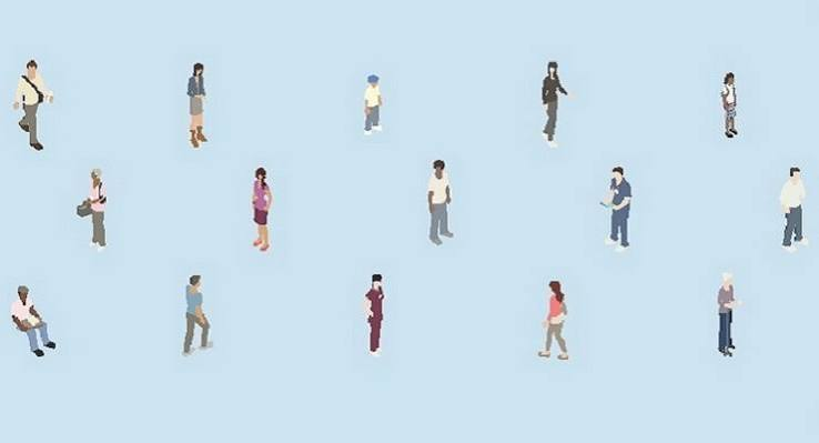
diffusion
The pattern by which a phenomenon such as the movement of people, or their ideas, technologies, or preferences, spreads from a particular location through space and time
(the pattern in which people and things are spread out from a location)

dispersed
The spacing of people within geographic population boundaries

distance decay (friction of distance)
The diminished importance and eventual disappearance of a phenomenon with increasing distance from its origin
(when distance from the origin point increases as the importance decreases)
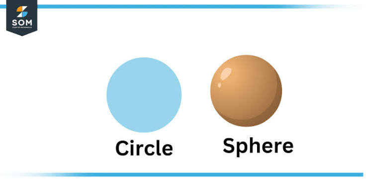
distortion
the misrepresentation of shape, area, distance, or direction of or between geographic features when compared to their true measurements on the curved surface of the earth
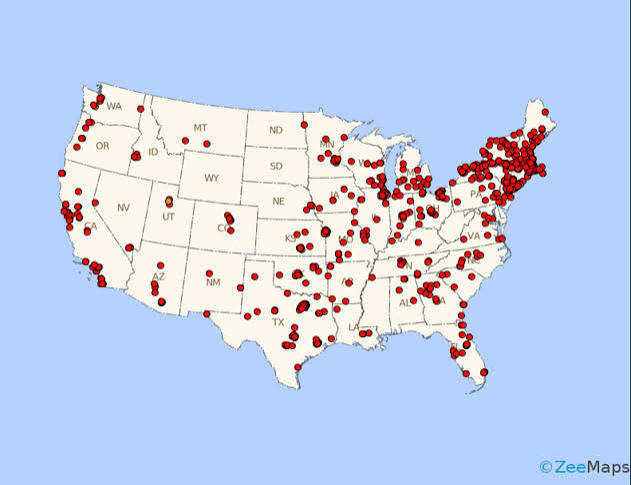
dot density maps or dot distribution maps
A map that uses dots to represent objects or counts; the dot can represent one object (a one-to-one dot density map), or it can represent a number of objects (a one-to-many dot density map)
(a map using dots to show objects or number of objects)

Geographic Information System (GIS)
A software application for capturing, storing, checking, and displaying data related to positions on Earth’s surface; allows the rapid manipulation of geospatial data for problem-solving and research
(an application for showing positions on earths surface allowing for problem solving and research)
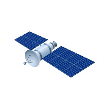
Global Positioning System (GPS)
A system of 24 satellites that orbit Earth twice daily and transmit radio signals Earthward; the basis for many map-based apps that provide directions on how to get from one place to another
(24 satellites that orbit earth two times a day, for map apps to give directions)
Globalization
The process by which businesses and other organizations develop international influence or start operating on an international scale
(when businesses start operating on number measurements)
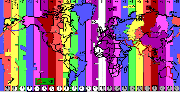
Greenwich Mean Time (GMT)
The time in the zone encompassing the prime meridian, or 0" longitude
(time zone in prime meridian(in other words the earths origin where latitude and longitude cross through))

Homogeneous
of the same or a similar kind or nature
(EX: slug and snail)
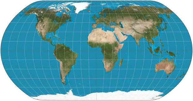
Homolosine
is an equal-area pseudocylindrical projection for world maps
(Equal areas on a type of map)

human geography
The branch of geography that studies how human activity affects or is influenced by Earth’s surface
(what AP Geo is about)

International Date Line
An arc that for the most part follows 180° longitude, although it deviates in several places to avoid dividing land area. When the International Date Line is crossed heading east (lowered America), the clock moves back 24 hours, or one entire day. When it crosses heading west (toward Asia), the calendar moves ahead one day
(when you pass the international date line you move ahead another day like when you go from USA to FRACE)
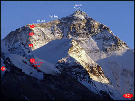
isoline maps
On a map, a line that connects or links different places that share a common or equal value, such as elevation
(a map that connects places with similar or equal values like elevation)

large-scale maps
usually have higher resolution and cover much smaller regions than small-scale maps. Map scale ratio in which the ratio of units on the map to units on the earth is quite small
(map that shows smaller regions with more detail)
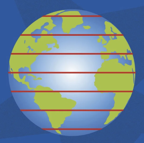
latitude
The (invisible) horizontal lines circling Earth parallel to the equator; latitude is the degree of distance north or south from the equator, which is at 0 degrees, as far as the poles, which are at 90 degrees
(horizontal line) ——————
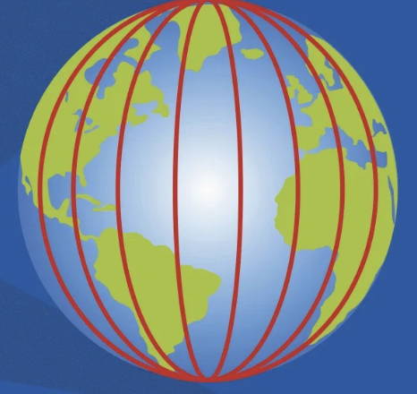
longitude
The (invisible) vertical lines on Earth’s surface that mark imaginary circles connecting the North Pole with the South Pole
l
l
l
l
(vertical lines on earth)
linear distribution
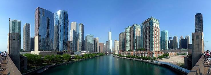
A settlement pattern in which buildings are arranged in a line, often along a road or river; limited to areas where legal systems dictated that property lines must be rectangular
(where buildings are in a line along a river or road etc.)
Mercator Projection
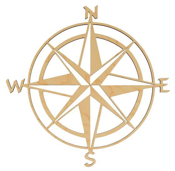
A map projection that is useful for navigation because the lines connecting points on the map represent the true compass direction; however, landmasses become increasingly distorted the farther away they are from the equator
(a map used for navigation with lines connecting points, representing true compass directions)
non-renewable natural resources
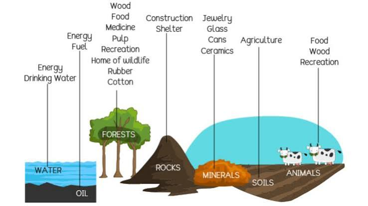
Natural resources that are available on Earth in finite quantities and will eventually be used up. The geometric arrangement or something in a particular area.
(natural resources found on earth and end up being used in particular areas)
patterns
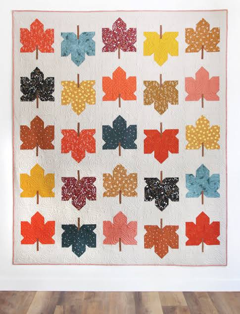
The geometric or regular arrangement of something in a particular area
(patterns of something in a particular area)
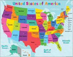
physical maps
their primary purpose is to show landforms like deserts, mountains, and plains
(a map that shows natural things on earth)
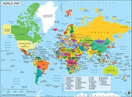
political maps
A map that shows the spatial organization of the countries and territories on the entire globe at a given point in time
(shows countries on a map)
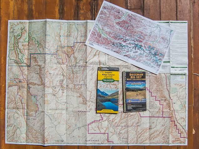
projection
A system used to transfer locations from Earth' surface to a flat map
(printing map on paper)
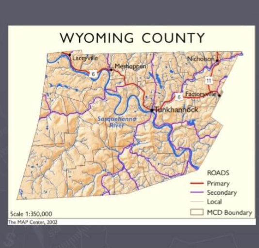
reference maps
A map that shows geographic locations on Earth’s surface, such as the locations of cities or oceans
(a map to reference)
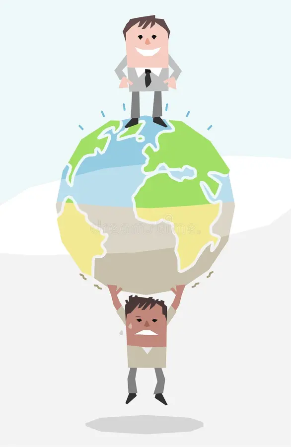
relative location
The position of one place (or person) in relation to the position of another place (or person)
(the position of a person/place relating to position)
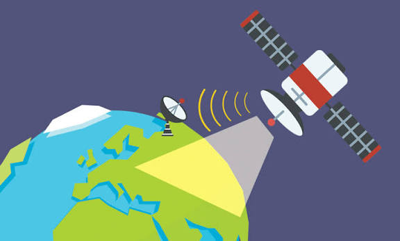
remote sensing
The scanning of Earth by satellite or high-flying aircraft in order to obtain information about it
(scanning earth from space or up high to obtain information)

Robinson projection
A map projection that attempts to create the most visually appealing representation of Earth by keeping all types of distortion relatively low over most of the map
(attempting to map a non distorted map)

Scale
Generally, the relationship between the portion of Earth being studied and Earth as a whole
(earth being studied as a whole)
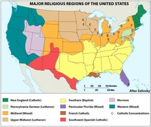
Scales of analysis
The relative size of the map or lens we choose to use to observe geographical phenomena. Also called relative scale, the scale of analysis includes local, regional, national, and global sizes to consider when viewing maps of Earth
(the scale of things on earth like land masses)

small-scale maps
show a larger geographic area with few details on them. Small scale maps show large areas like countries or huge geographic areas such as continents
(map with more land and less detail)

spatial data
information that has a geographic aspect to it. In other words, the records in this type of information set have coordinates, an address, city, postal code, or zip code included with them
(geographic data with records of local information)
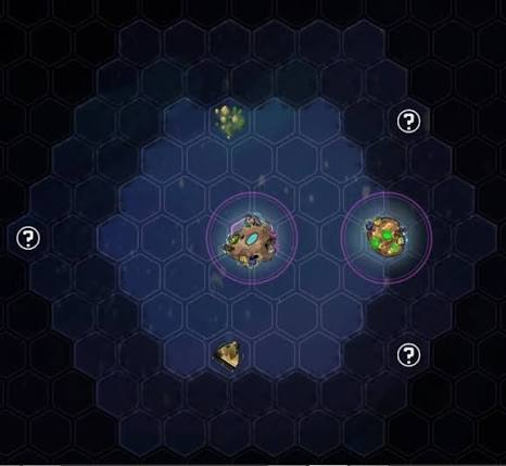
spatial patterns
The placement or arrangement of objects on Earth’s surface; also includes the space between those objects
(things on earths surface and the space between them)
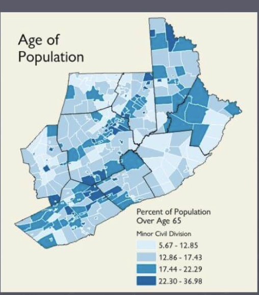
thematic maps
A map that emphasizes the spatial patterns of geographic statistics or attributes, and sometimes the relationships between them
(shows geographic patterns with statistics)
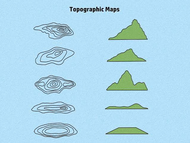
topographic maps
A graphic representation of the three-dimensional configuration of Earth’s surface
(3d map of earth)
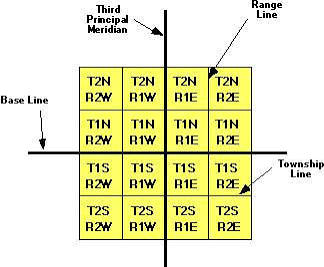
Township and Range
Land survey system created by the U.S. Land Ordinance of 1785, which divides most of the country’s territory into a grid of square-shaped townships with 6-mile sides
(dividing the US territories into a grid)