AP Human Geography Unit 1 Vocabulary
 Call Kai
 Learn
Learn Practice Test
 Spaced Repetition
 Match
Match Flashcards
 Knowt Play
1/49

Earn XP
Description and Tags
Vocabulary flashcards covering foundational geographic concepts, scales, spatial patterns, maps, and projections for AP Human Geography Unit 1.
Name | Mastery | Learn | Test | Matching | Spaced | Call with Kai | Chat |
|---|
No analytics yet
Send a link to your students to track their progress
50 Terms
Human Geography
Study of where + why human activities happen.
Physical Geography
Study of where + why natural processes happen.
Geographic scale / scale of analysis
Level where data is being studied.
Map scale
Relationship between map size + real-world size.

Large-scale map
Small area + lots of detail = zoom IN.
Small-scale map
Large area + less detail = zoom OUT.
Global scale of analysis
Globe = whole world.
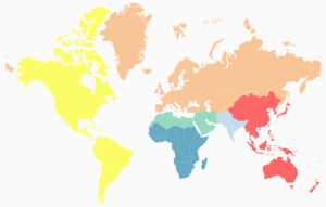
Regional scale of analysis
Regions = continents/world regions.
National scale of analysis
Nations = countries.
Local scale of analysis
Little = state, county, city, ZIP code.
Distribution
How something is spread over space.
Density
How many things are in an area.
Pattern
How things are arranged in space.
Absolute location
Exact location on Earth.
Relative location
Location compared to another place.
Absolute distance
Exact measured distance between places.
Relative direction
Left, right, forward, backward.
Absolute direction
North, south, east, west.
Place
Location with unique human + physical features.
Site
Physical features of the actual place.
Situation
How a place is connected/located relative to other places.
Distance decay
Farther away = weaker connection.
Time-space compression
Technology makes faraway places feel closer.
Globalization
The world becomes more connected.
Possibilism
Environment limits humans, but humans can adapt.
Environmental determinism
Environment determines how society develops.
Sustainability
Meet needs now without hurting future generations.
Land use
What people use land for: housing, farming, business, etc.
Remote sensing
Collects Earth data from satellites or long distance.
GPS
Finds an exact location on Earth.
GIS
Stores + layers + analyzes geographic data.
Equator
0 degrees latitude; divides North + South.
Latitude
Measures north/south of the Equator.
Prime Meridian
0 degrees longitude; divides East + West.
Longitude
Measures east/west of the Prime Meridian.
Formal region
Area sharing a common feature.
Functional region
Area organized around a node or focal point.
Perceptual / Vernacular region
Area people believe or perceive exists.

Reference map
Shows locations like roads, cities, and borders.

Choropleth map
Areas are shaded different colors based on data.
Dot map
Dots show where something is concentrated.

Proportional / graduated symbol map
Bigger symbol = bigger amount.

Isoline map
Lines connect places with the same value.
Cartogram
Changes the size or shape of places based on data.
Map projection
Method of putting the round Earth onto a flat map.

Mercator projection
Keeps direction accurate, but areas near the poles look too big.
Mercator projection navigation advantage
Direction stays consistent.
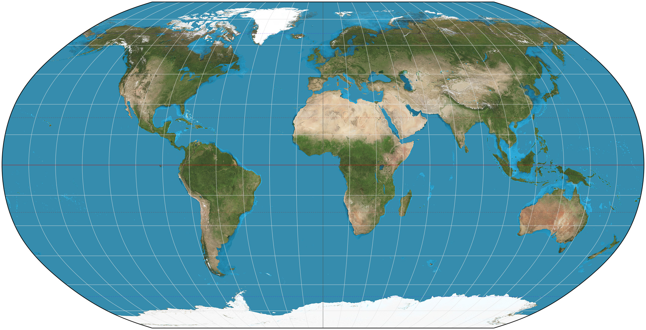
Robinson projection
Balanced world map that reduces overall distortion.

Gall-Peters projection
Shows area more accurately, but shapes look distorted.
Important rule about projections
Every flat world map has some distortion.