geography 2
1/20
There's no tags or description
Looks like no tags are added yet.
Name | Mastery | Learn | Test | Matching | Spaced | Call with Kai |
|---|
No study sessions yet.
21 Terms
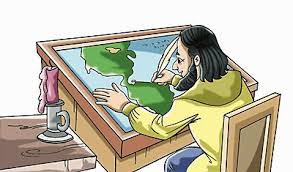
cartographer
person who draws maps
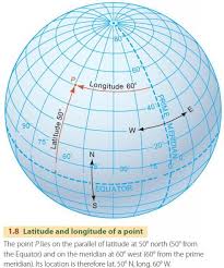
coordinates
intermediate location on a map
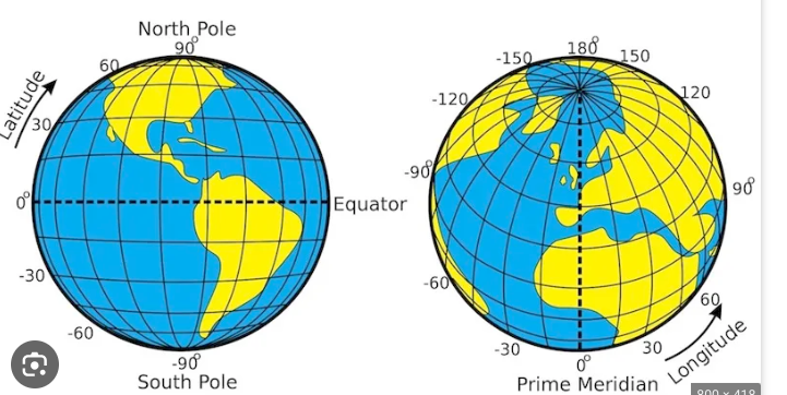
geographic grid
the spherical coordinate system of latitude and longitude used to locate positions uniquely anywhere on the surface of the Earth.
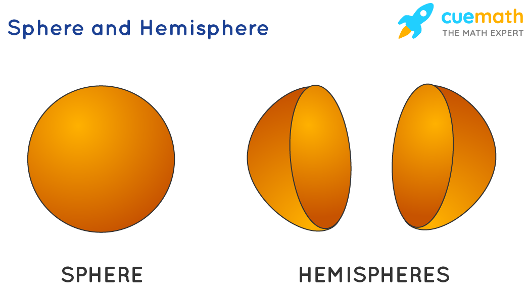
Hemisphere
a half of the earth, usually as divided into northern and southern halves by the equator, or into western and eastern halves by an imaginary line passing through the poles
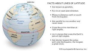
Lines of latitude (parallels)
imaginary lines that divide the Earth from left to right
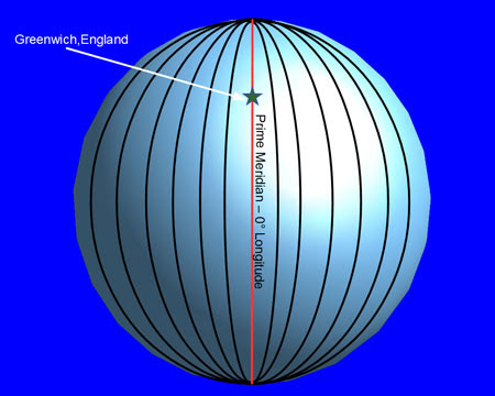
lines of longitude (meridians)
imaginary lines that divide the earth from top to bottom
projection (map)
shows the whole earth but its flat
contigous
touching
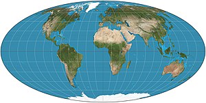
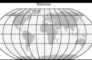
robinson projection
Ovel shape map, distorted near the poles
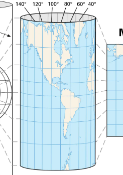
Mercator projection
cylinder shape, longitude lines look straight, size of land and water distorted .
Equidistant projection
a projection that shows land and water in relation to a central point
a polar projection
shows land and water in relation to a central point. They show distance and direction accurately. Size and shape become distorted as you move away from the center.
north pole
Arctic circle
Arctic region
coordinates
the latitude and longitude address of a place on a map
Eurasia
a landmass made up of the continents of Asia and Europe
mental map
a map that a person pictures in his or her mind
relative location
description of a place using the relation of one place to another
sea
a body of salt water that is part of an ocean, yet is partially enclosed by land
map sketch
a rough drawing of a mental map