5th Geography End of Years
 Call Kai
 Learn
Learn Practice Test
 Spaced Repetition
 Match
Match Flashcards
 Knowt Play
1/348

There's no tags or description
Looks like no tags are added yet.
Name | Mastery | Learn | Test | Matching | Spaced | Call with Kai |
|---|
No analytics yet
Send a link to your students to track their progress
349 Terms
Climate change
changes in long-term temperature and precipitation patterns that can either be natural or linked to human activities
Quaternary period
the most recent geological period covering the last 2.6 million years, during which time there were several cold or warm periods
glacial periods
historic cold periods associated with the build-up of snow and ice and the growth of ice sheets and glaciers
inter-glacial periods
historic warm periods in-between glacial periods where conditions were much the same as they are today
global warming
a trend associated with climate change involving a warming trend (0.85°C since 1880)
Geological fossil evidence
plant and animal fossils provide a good indicator of what past climates were like.
ice core
a cylinder of ice drilled from an ice cap which contains a continuous record of past climatic conditions. It can be analysed to model past climate and help predict conditions in the future.
Ocean sediments
layers of sediment build up trapping evidence of past climates which can be drilled into and analysed to investigate past climatic conditions
The little ice age
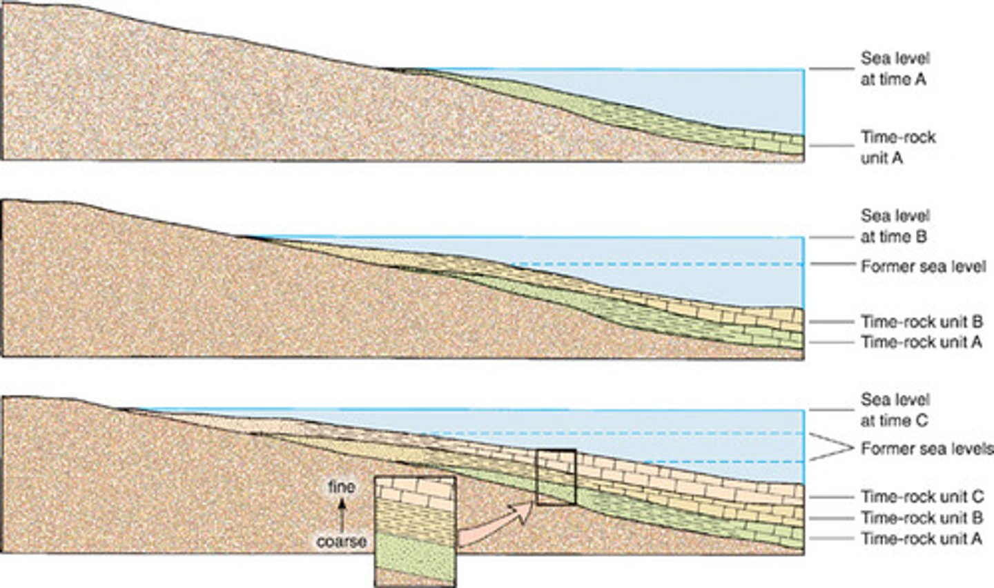
a period between 1300-1870 during which winter temperatures were colder than today
Megafauna
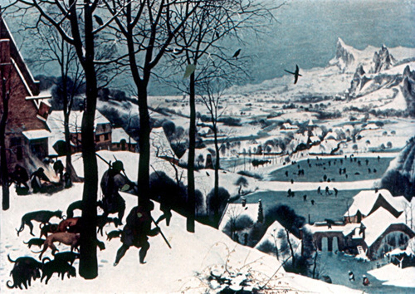
large animals greater than 50kg e.g. giant beaver
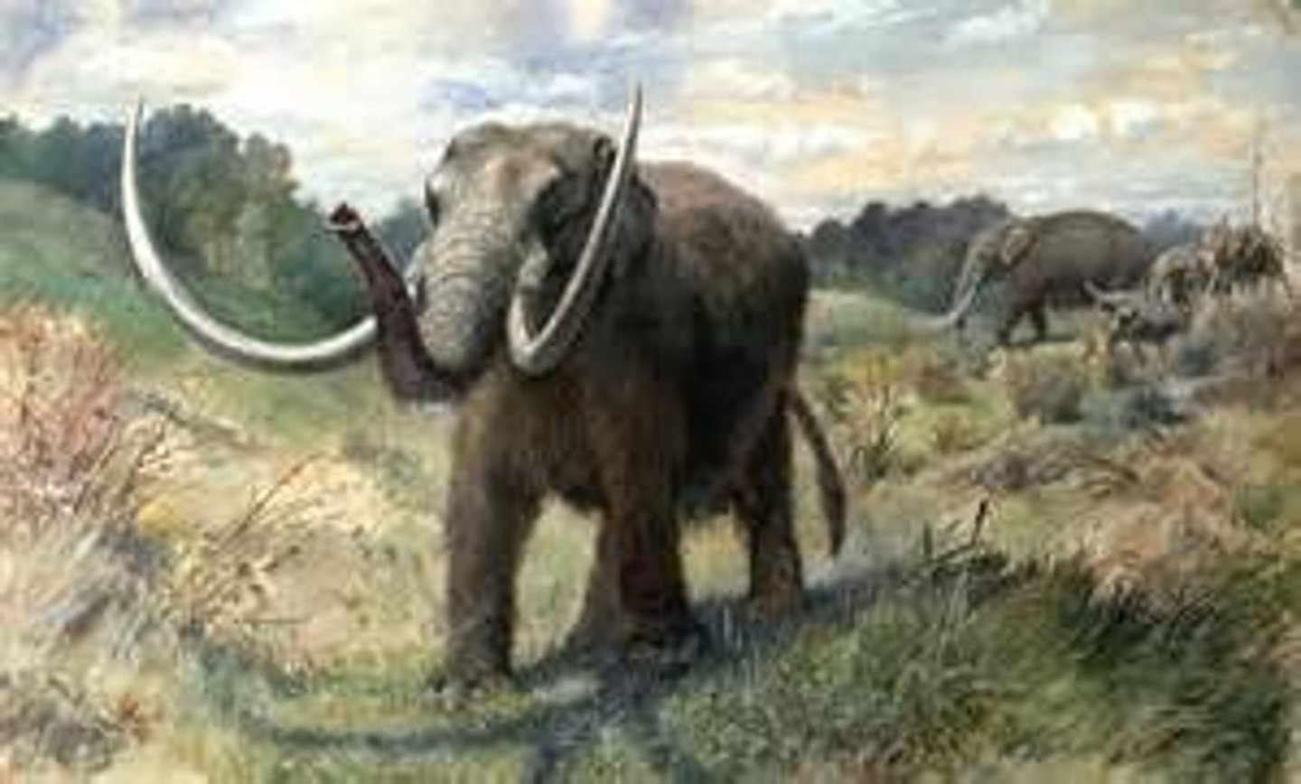
Mastodons
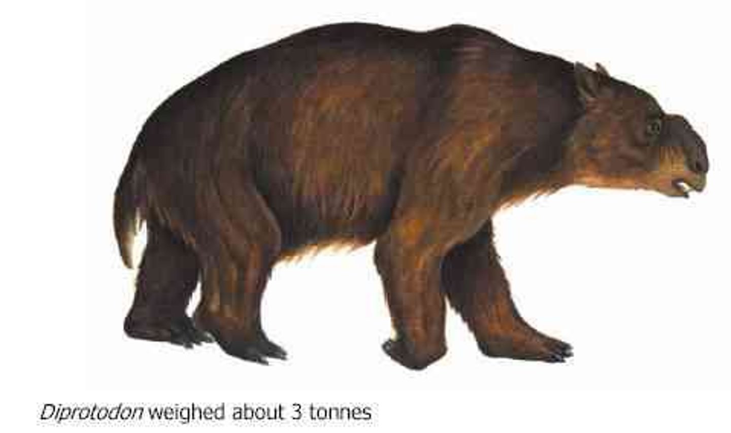
an elephant like mammal with woolly coats
Milankovitch cycles
orbital variations (eccentricity, precession and tilt) which lead to natural climate change.
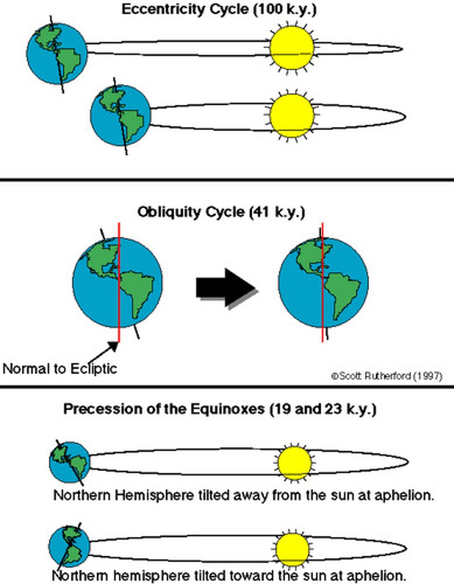
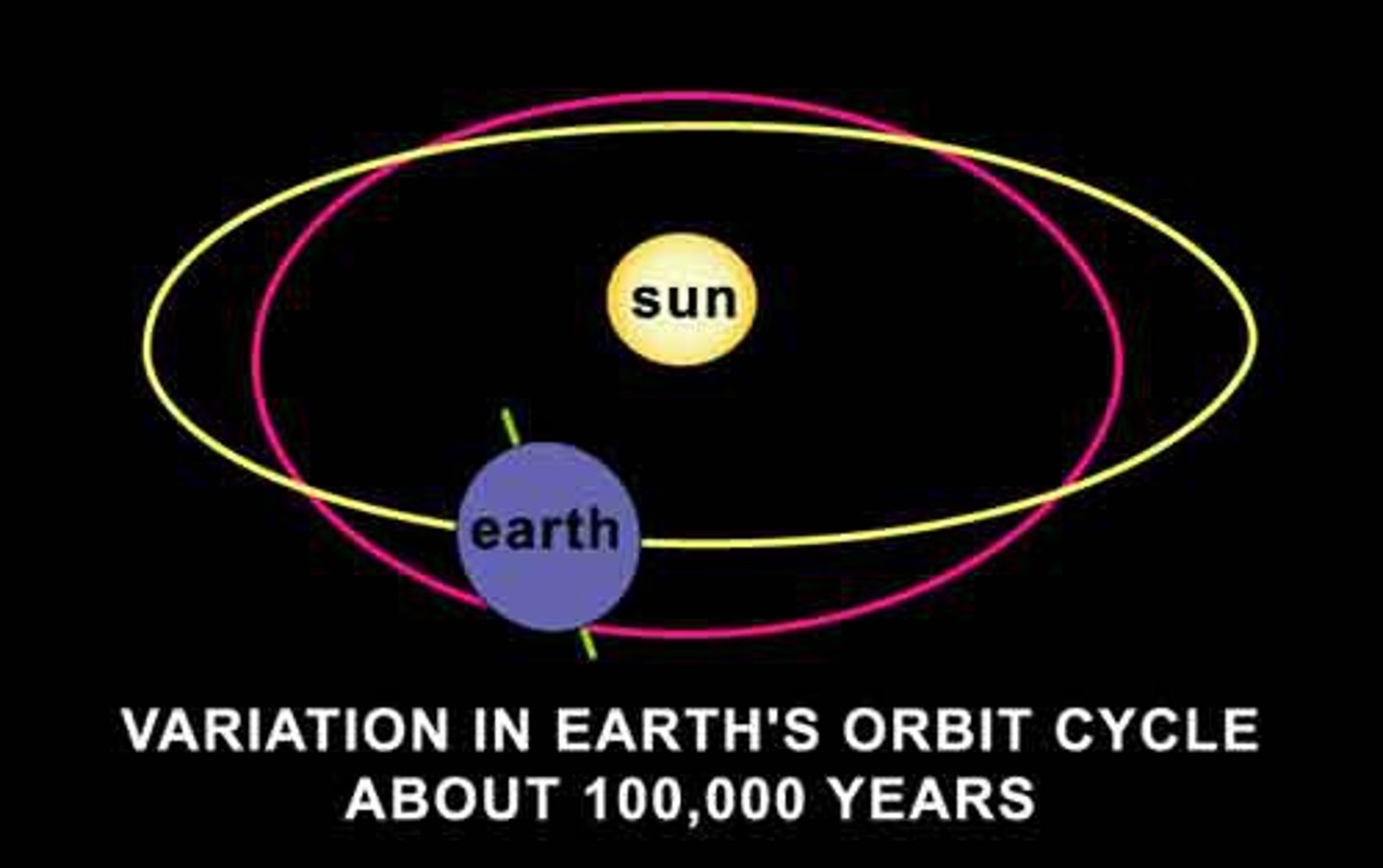
Eccentricity
100,000 year cycle during which the Earth's orbit changes from circular to elliptical and back to circular again. Colder periods occur when the orbit is more circular.
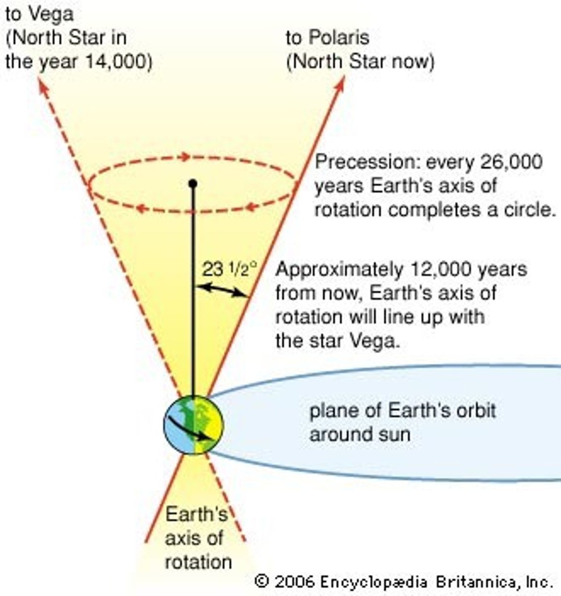
Precession
26,000 year cycle during which the 'wobble' of the Earth shifts
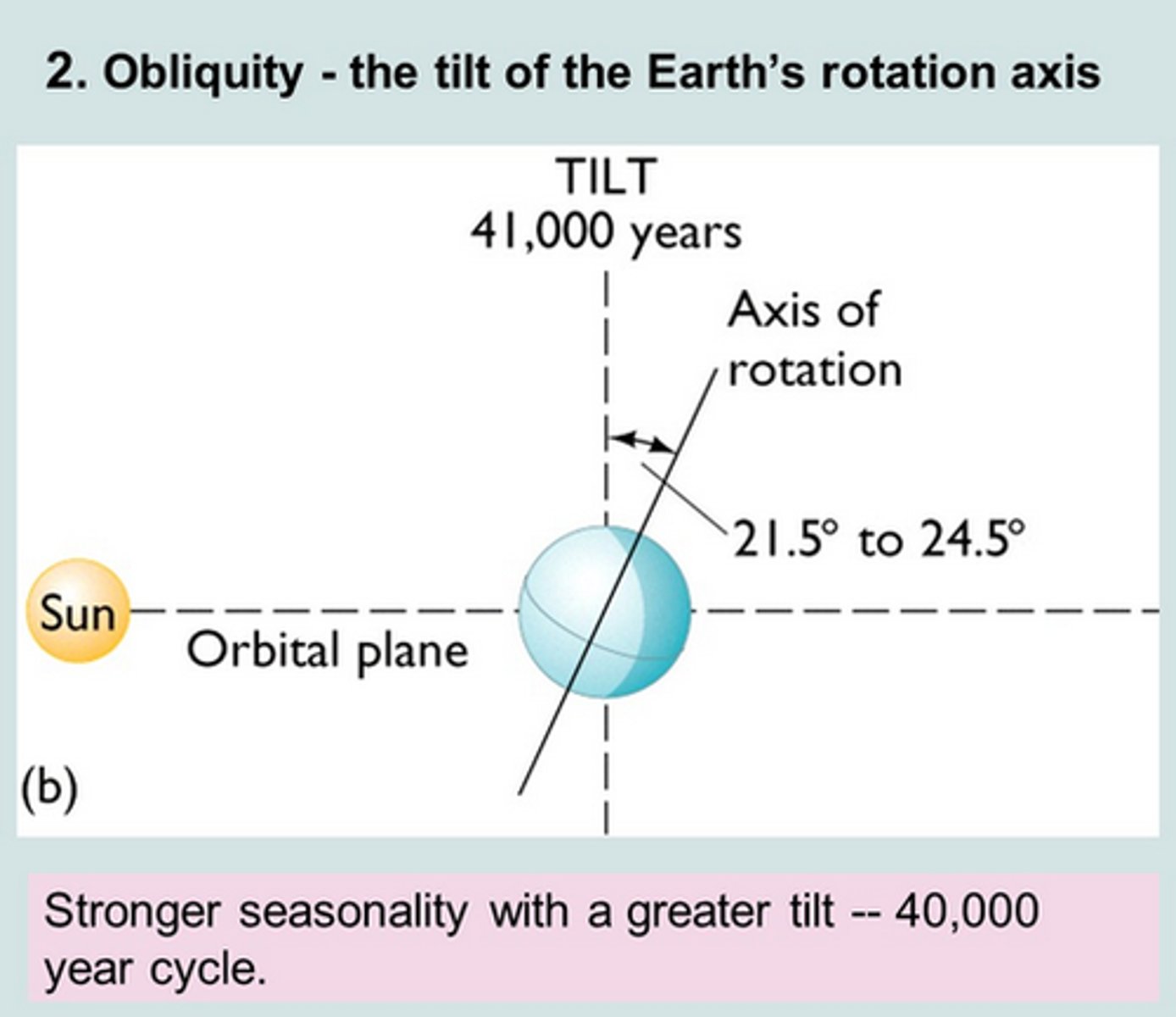
Axial tilt
a 41,000 year cycle during which the tilt of the earth cycles from 21.5 degrees to 24.5 degrees and back again
volcanic winter
colling trend caused by volcanic particules in the atmosphere blocking out some of the Sun's radiation
sunspot
a spot or dark patch that appears on the surface of the sunand is associated with an outburst of energy from the Sun.
sunspot cycle
a period lasting 11 years during which sunspot activity increases from a minimum to a maximum and then back to a minimum
greenhouse effect
natural warming of the atmosphere as heat given off from the Earth is absorbed by liquids and gasses, such as carbon dioxide
enhanced greenhouse effect
the increased greenhouse effect as a result of human activity
Sea level rise
an increase in sea levels attributed to increased amounts of water in oceans (due to less being stored on land in ice caps and glaciers) and thermal expansion of water
Thermal expansion
An increase in the volume of a substance when the temperature is increased
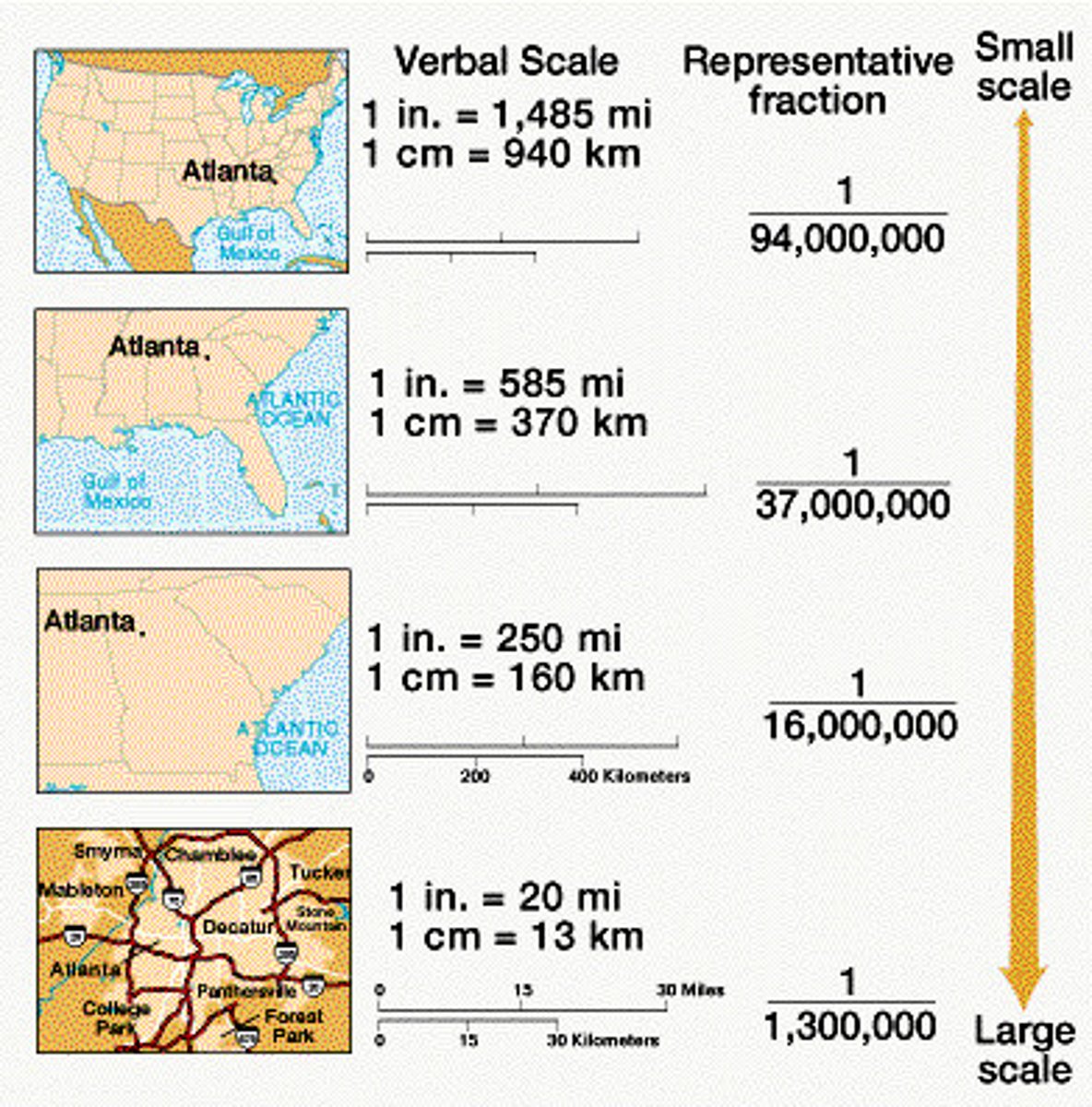
scale
can refer to maps that are drawn at particular levels of detail; in geography this often refers to whether something is looked at from the local, regional, national or global scale
local
tends to refer to a small area or region when considering the scale of a study but can alos be used to refer to one's own neighbourhood or an area known to a person; can be in relation to the learner or another small scale location
regional
used to refer to the characteristics of a defined area within a larger area; the scale can vary but within geography, could include East Anglia or a district within a country; An area of land that has common features, which may be artificial, such as dialect, language, religion, industry or administrative boundaries, or natural such as climate and landscape
national
referring to a nation or country; a scale of looking at things where particular countries are the subject of study.
built landscape
the human-made surroundings that provide the environment for human activity; may also refer to towns, cities and other urban environments

natural
existing in, or derived from, processes that do not involve humans
natural landscape
a landscape that is the result of natural processes and has not been shaped or changed by human activity
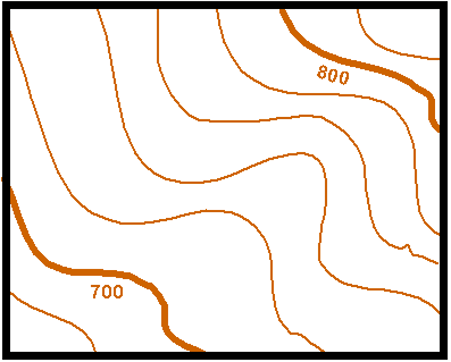
contour lines
a line on a map joining places of equal height
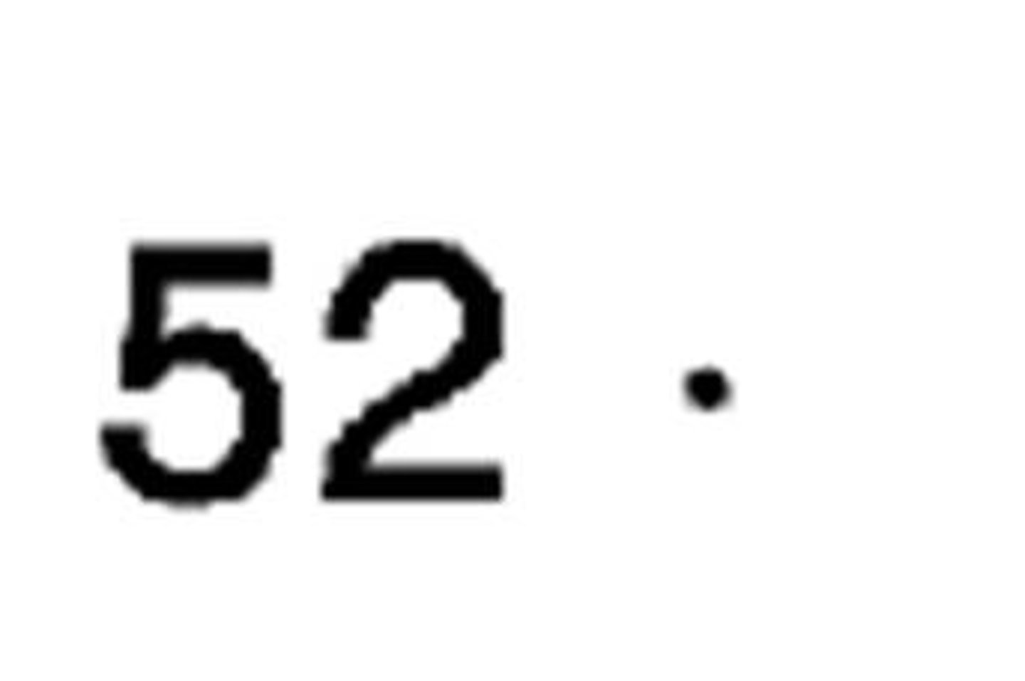
spot heights
the height of a specific point on the land, which is added to an Ordinance Survey map
landform
a natural, recognisable feature of the Earth's surface
lowland
low lying land, usually flat or gently undulating
upland
higher land, including hills and mountains, usually more rugged with dramatic peaks and valleys
ice age
a glacial episode characterised by lower than average global temperatures and during which ice covers more of the Earth's surface
glacial processes
processes resulting from the action of ice, often in the form of glaciers or other landforms but can also involve the cold temperatures associated with glacial periods
Geomorphic processes
processes which result in a change in the shape of the Earth; from 'geo' meaning the earth and 'morph' meaning to change shape
mechanical processes
physical processes which act mechanically on a substance
chemical processes
processes that result from chemical reactions and interactions
biological processes
processes that result from the action of living organisms, whether plant or animal, in nature
geology
the study of rocks and their formation, structure and composition
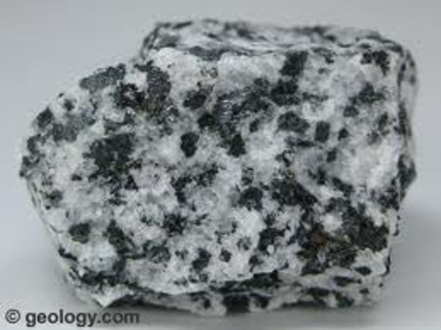
igneous
when referring to rocks, this means rocks formed within the interior of the earth, and shaped by heat
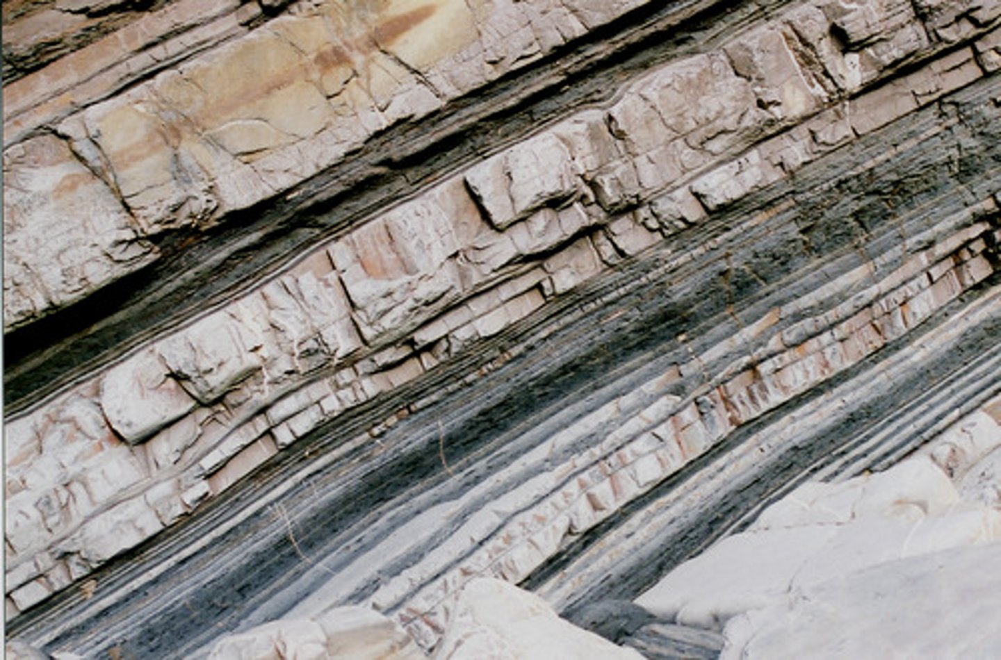
sedimentary
rocks that have been produced from layers of sediment, usually at the bottom of the sea
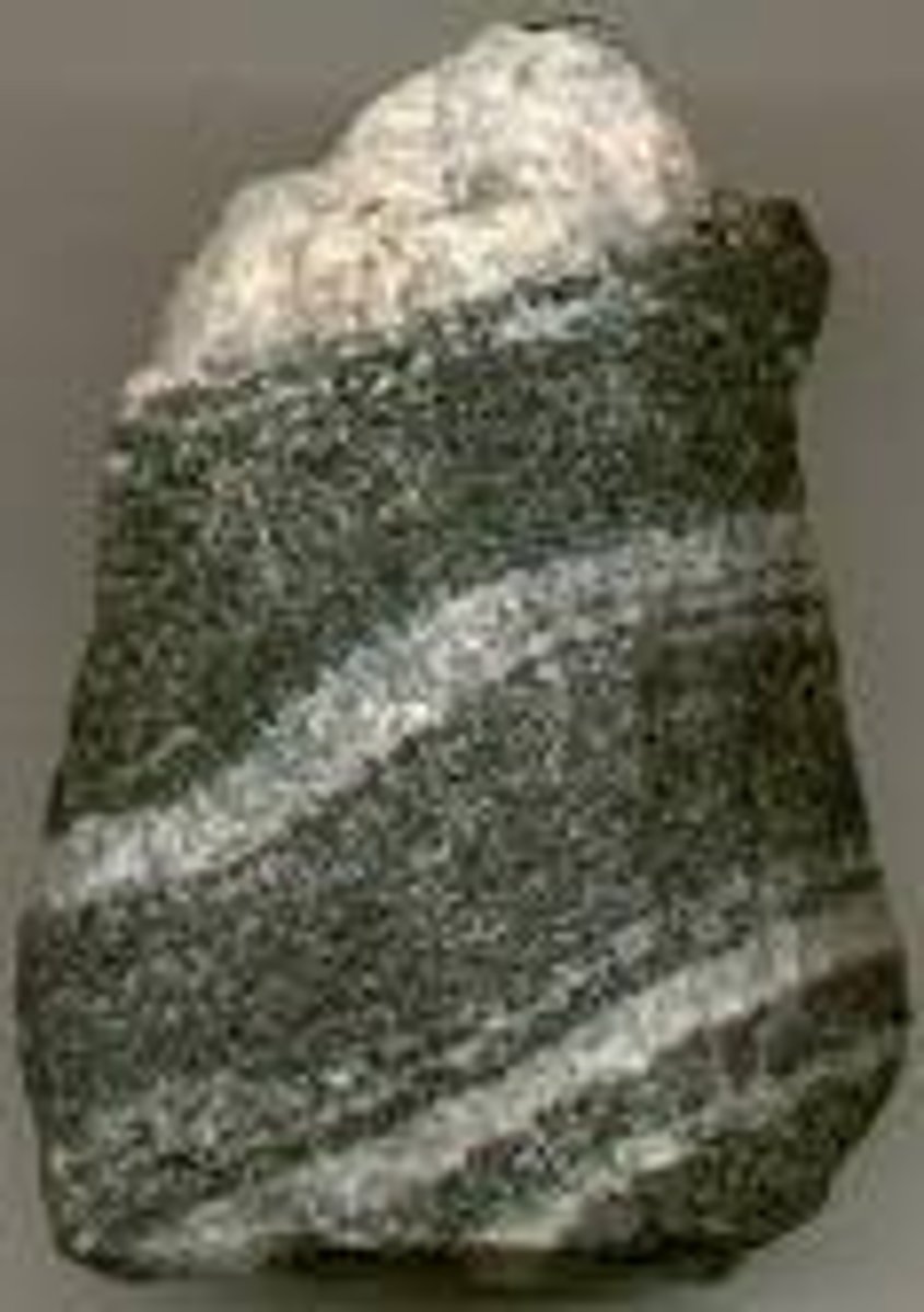
metamorphic
rocks that have been changed as a result of heat and pressure being applied to them over long periods of time
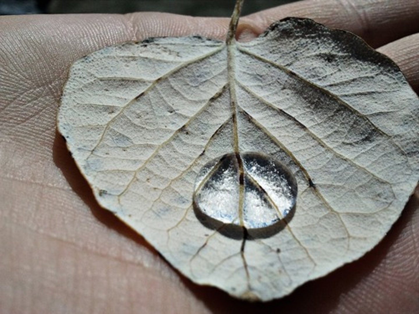
impermeable
a surface or substance that doesnt allow water to pass through it
permeable
a surface or substance that does allow water to pass through it
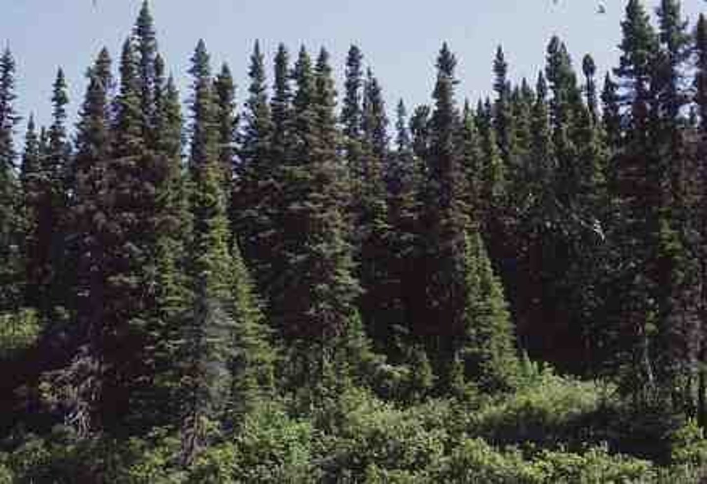
coniferous
trees that are evergreen and have needle shaped leaves
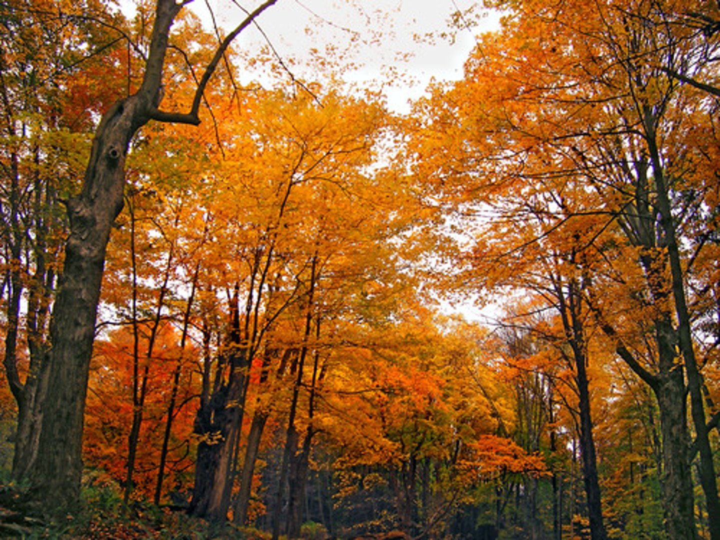
deciduous
trees that shed their leaves during winter to retain moisture, also known as broadleaved trees
climate
the expected condition of the atmosphere based on a long term average of 30 or more years
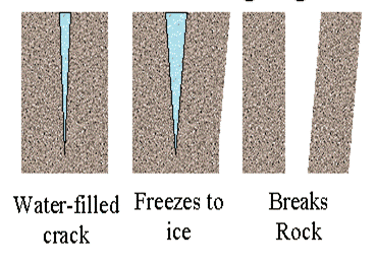
freeze-thaw cycle
the daily fluctuations of temperature either side of freezing point; when repeated they contribute to physical weathering
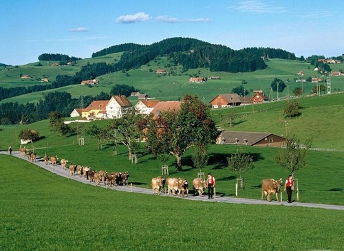
rural
areas which are not urban; characteristic of the countryside rather thyan towns or cities
urban
refers to areas which have been built by people; towns and cities
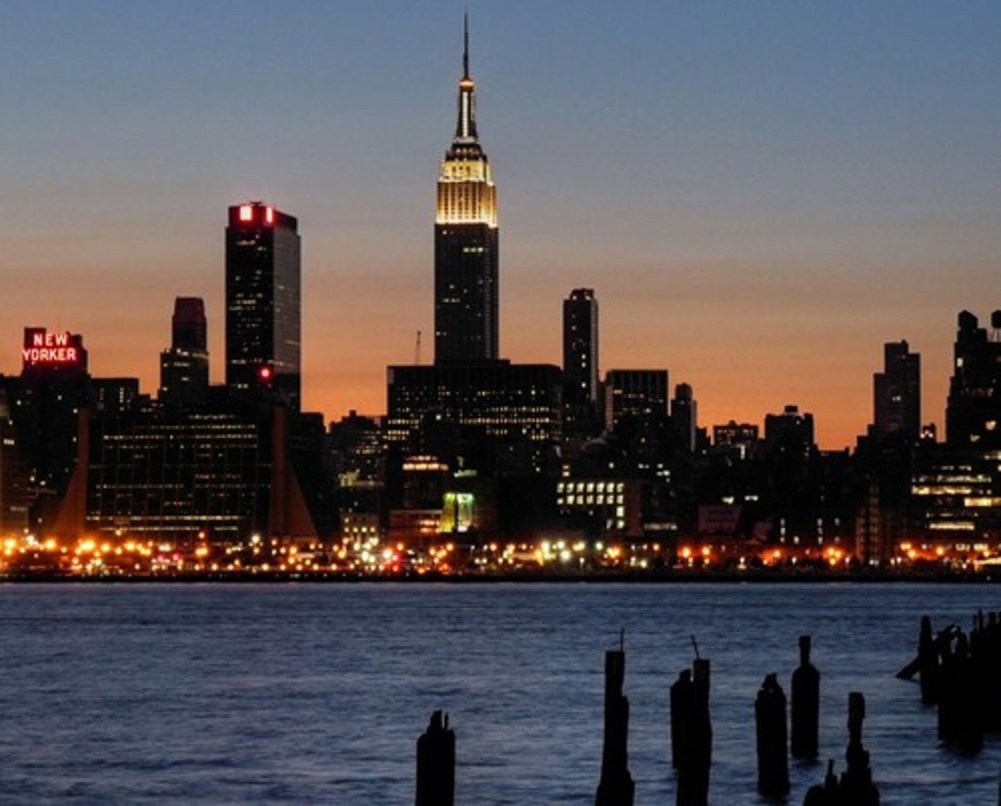
tides
changes in sea level as the result of the Moon; regular movements which occur every day

sub-aerial processes
processes which aid weathering and the mass movement of material; they include the action of the weather
oxidation
a chemical reaction between a substance (often iron) and oxygen in the air; it can change the appearance (reddish brown) and weaken it.
hydrolysis
some minerals are affected by water, when acidic rainfall reacts with minerals to form weaker materials which are more easily washed away
carbonation solution
carbon dioxide dissolves in rainwater to form weak carbonic acid, this reacts with calcium carbonate, leading to the formation of soluble calcium bicarbonate
weathering
the disintegration or decomposition of material in situ, by physical, chemical or biological processes
erosion
processes by which rock, sand, and soil are broken down and carried away
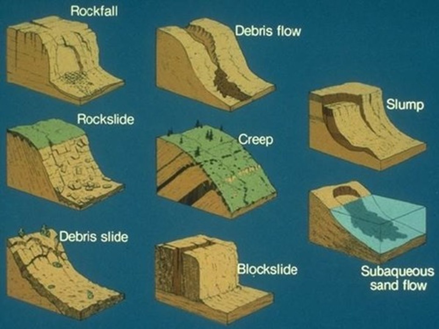
mass movement
the downslope movement of material due to gravity
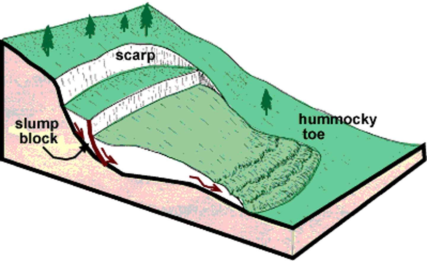
rotational slump
the downslope movement of material along a curved slip plane
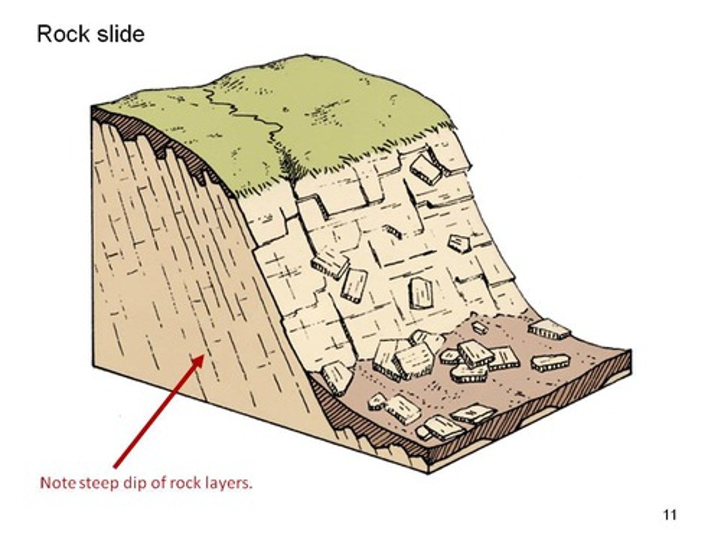
rock slide
the downslope movement of material along a straight slip plane
waves
elliptical or circular movement of the sea surface that are translated into a movement of water up the beach as they approach the coastline
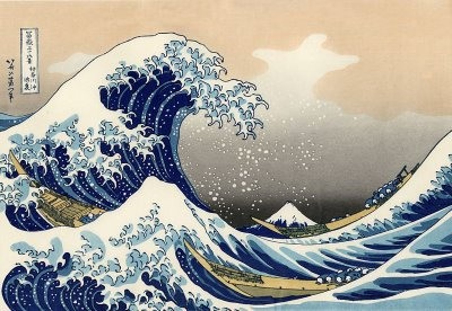
abrasion
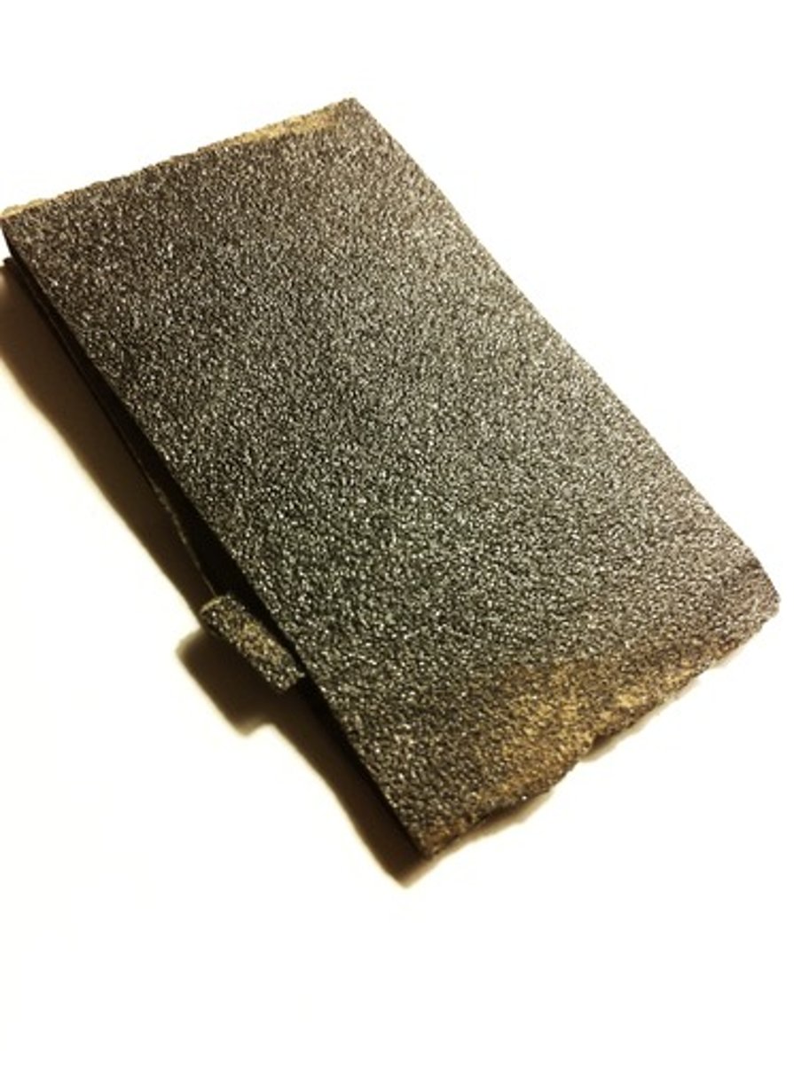
the scraping, scouring or rubbing action of materials being carried by a moving feature suchs as a river, glacier or wave, which erode rocks
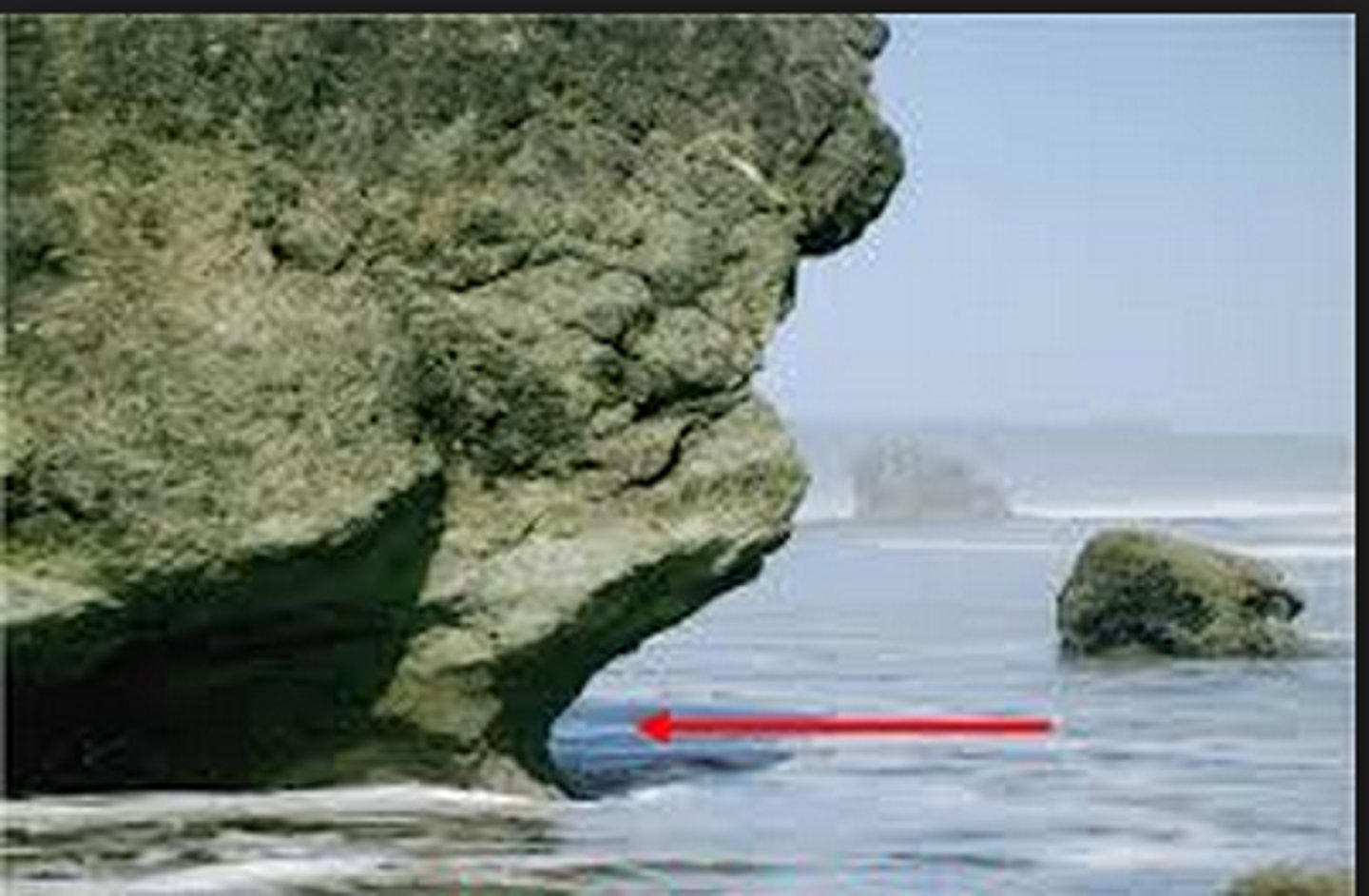
wave-cut notch
an erosional landform undercutting the base of a cliff between low and high water marks
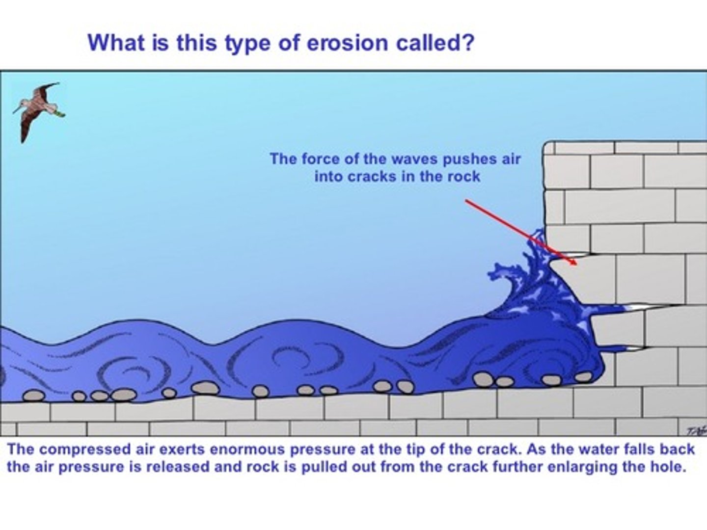
hydraulic action
an erosive process which involves the pressure of water hitting a surface, compressing air into any cavities which exist and resulting in the removal of rock fragments over time
solution
the dissolving of soluble materials by acidic water
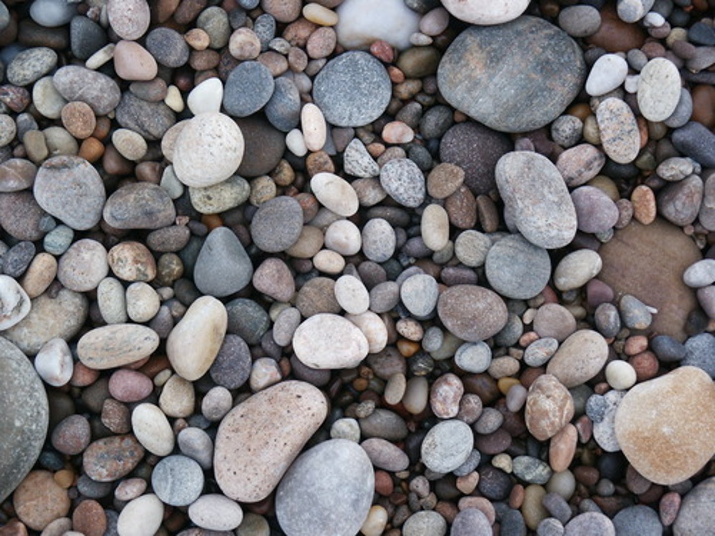
attrition
a reduction in the size and angularity of material as it knocks together
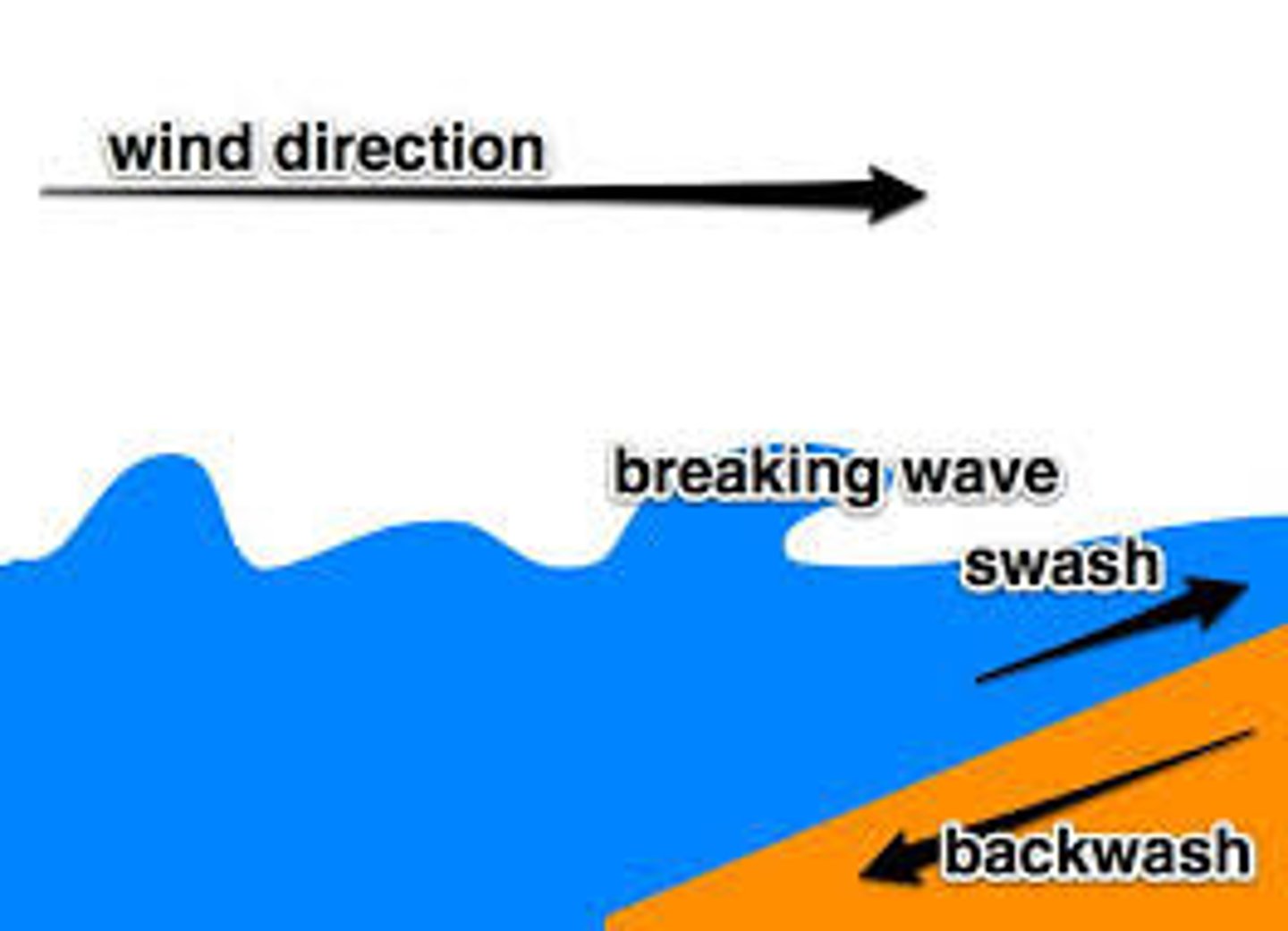
swash
The movement of water up the beach following the breaking of a wave on the coastline
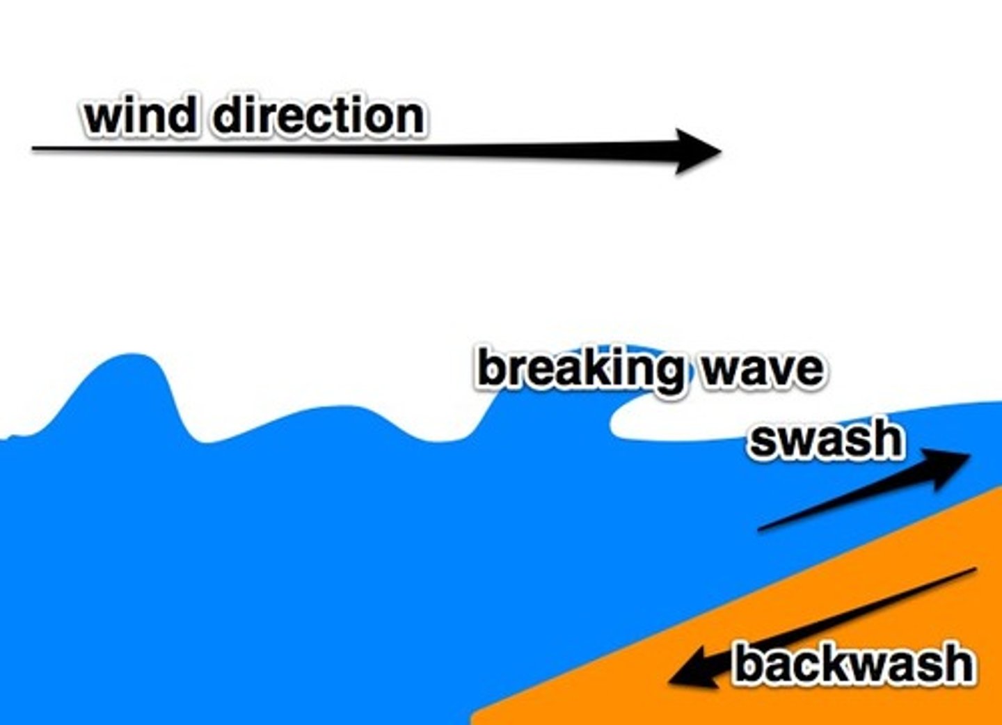
backwash
The movement of water from a broken wave as it moves down the beach
transport
the movement of material by a range of processes
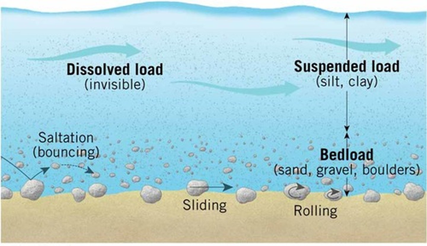
longshore drift
The movement of sediments along a stretch of coastline as a result of the wind and swash approaching the beach at an angle
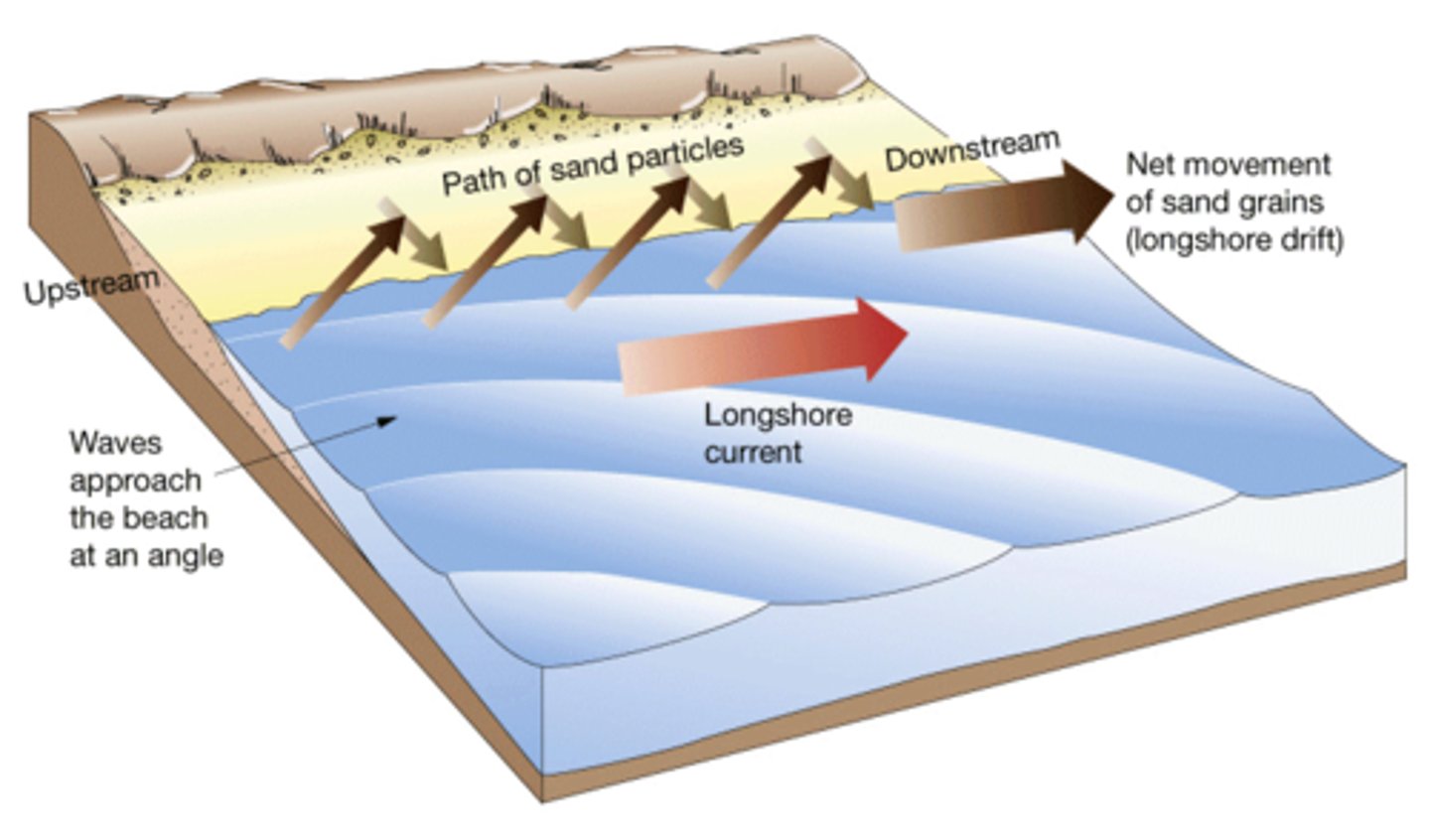
deposition
the process by which sediment being transported is laid down
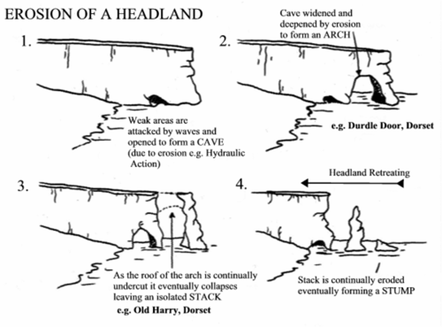
headland
an area of land that extends out into the sea, usually higher than the surrounding land; also called a point
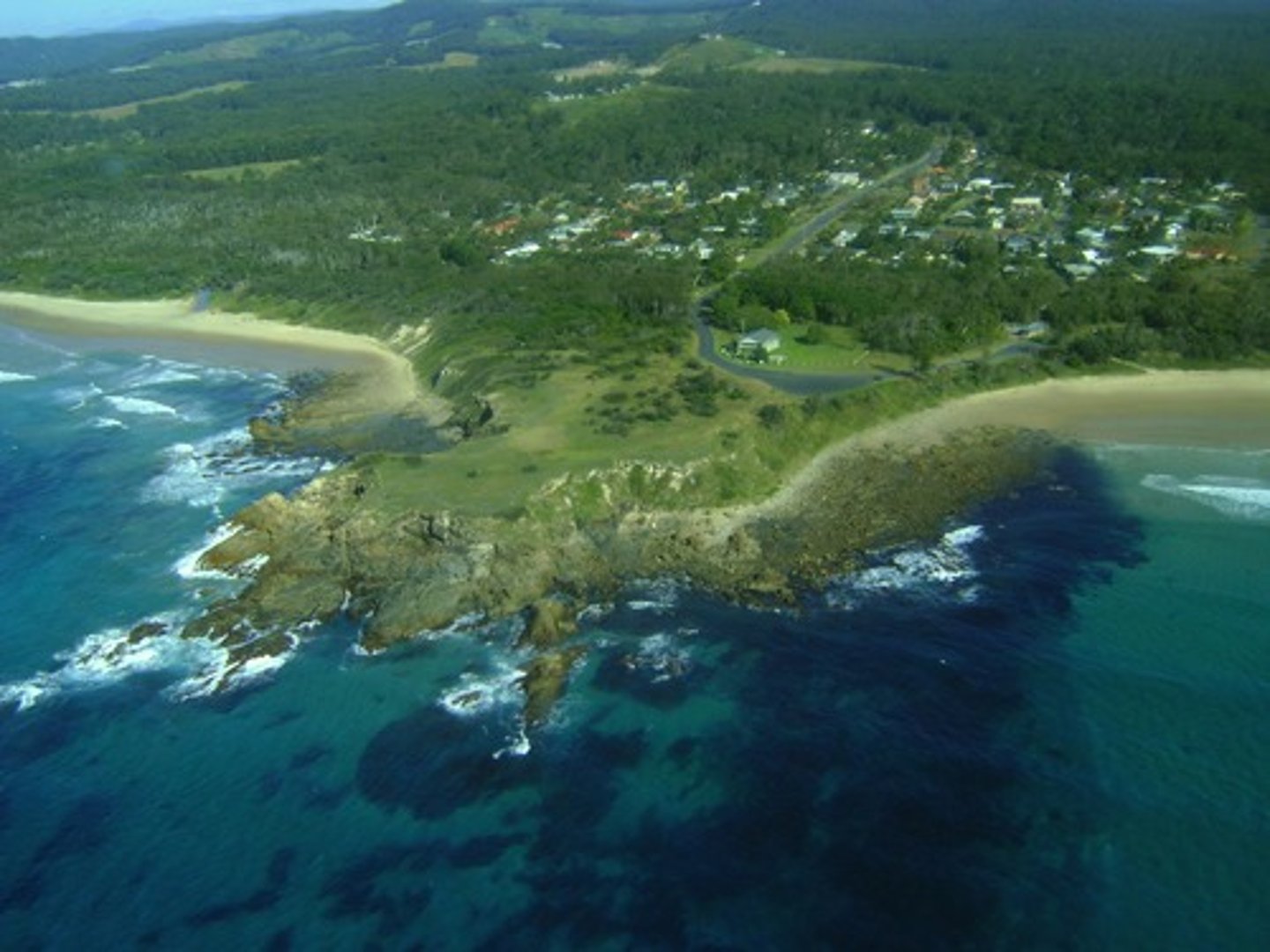
bay
the area between two headlands which has been eroded at a faster rate, usually lower and often contains a beach
cave
the extended cracks and hollows at the base of a cliff
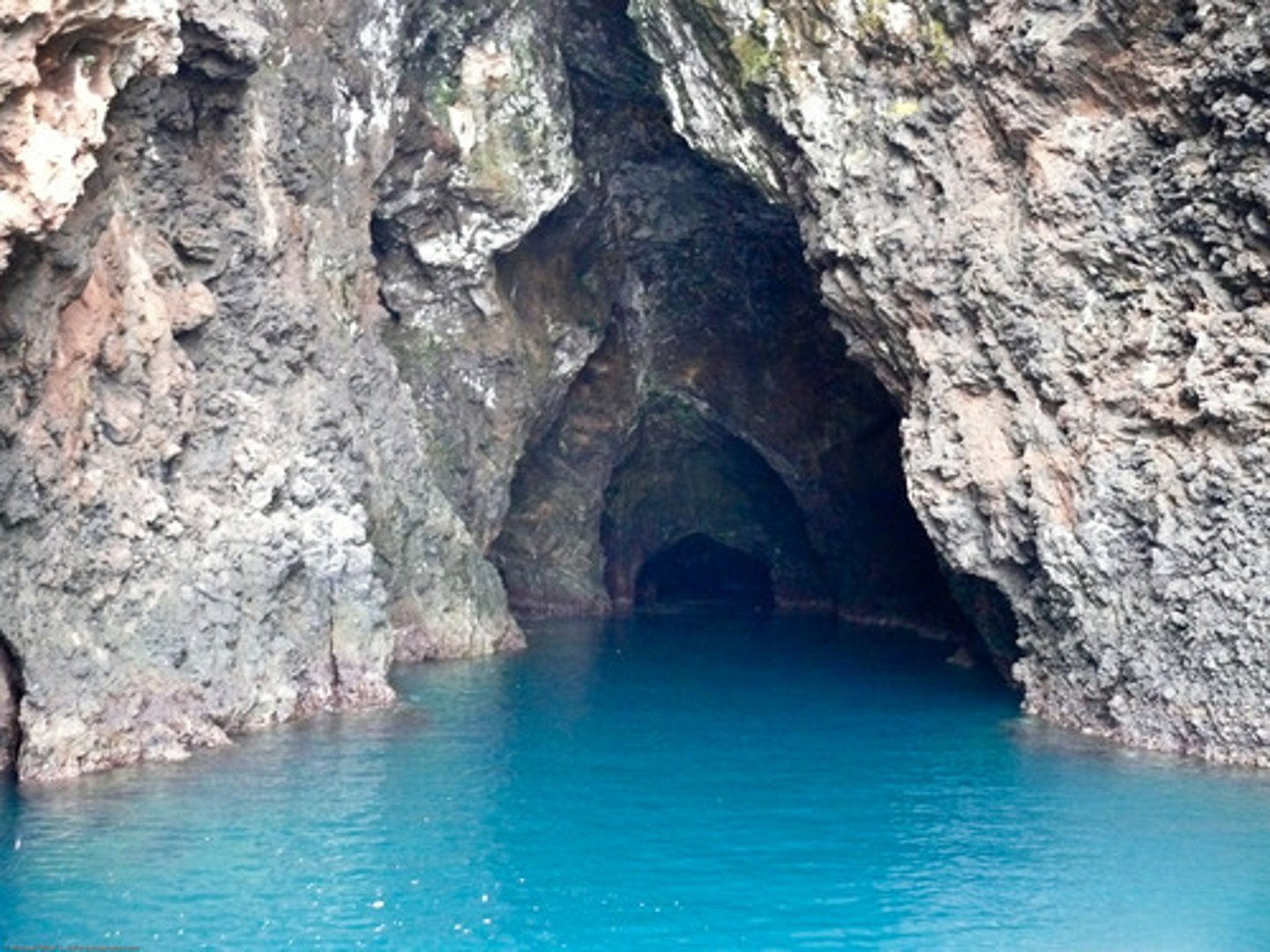
arch
an erosional landform where a cave has been eroded straight through a headland

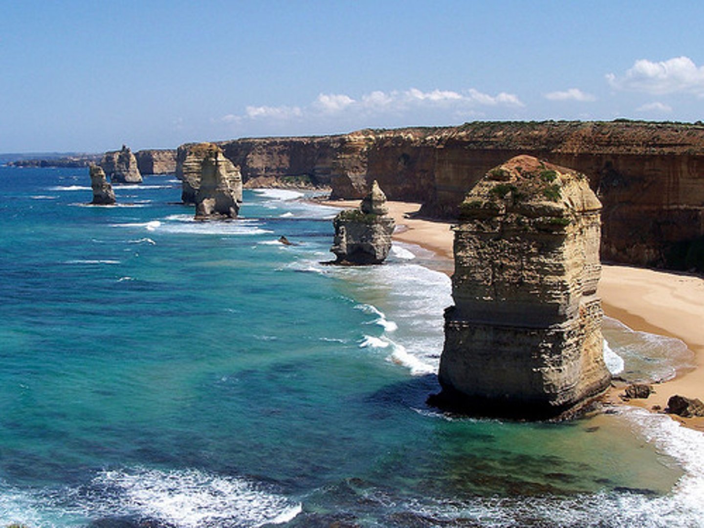
stack
a coastal feature that results from erosion; a section of the headland that has become separated from the mainland and stands as a pillar of rock
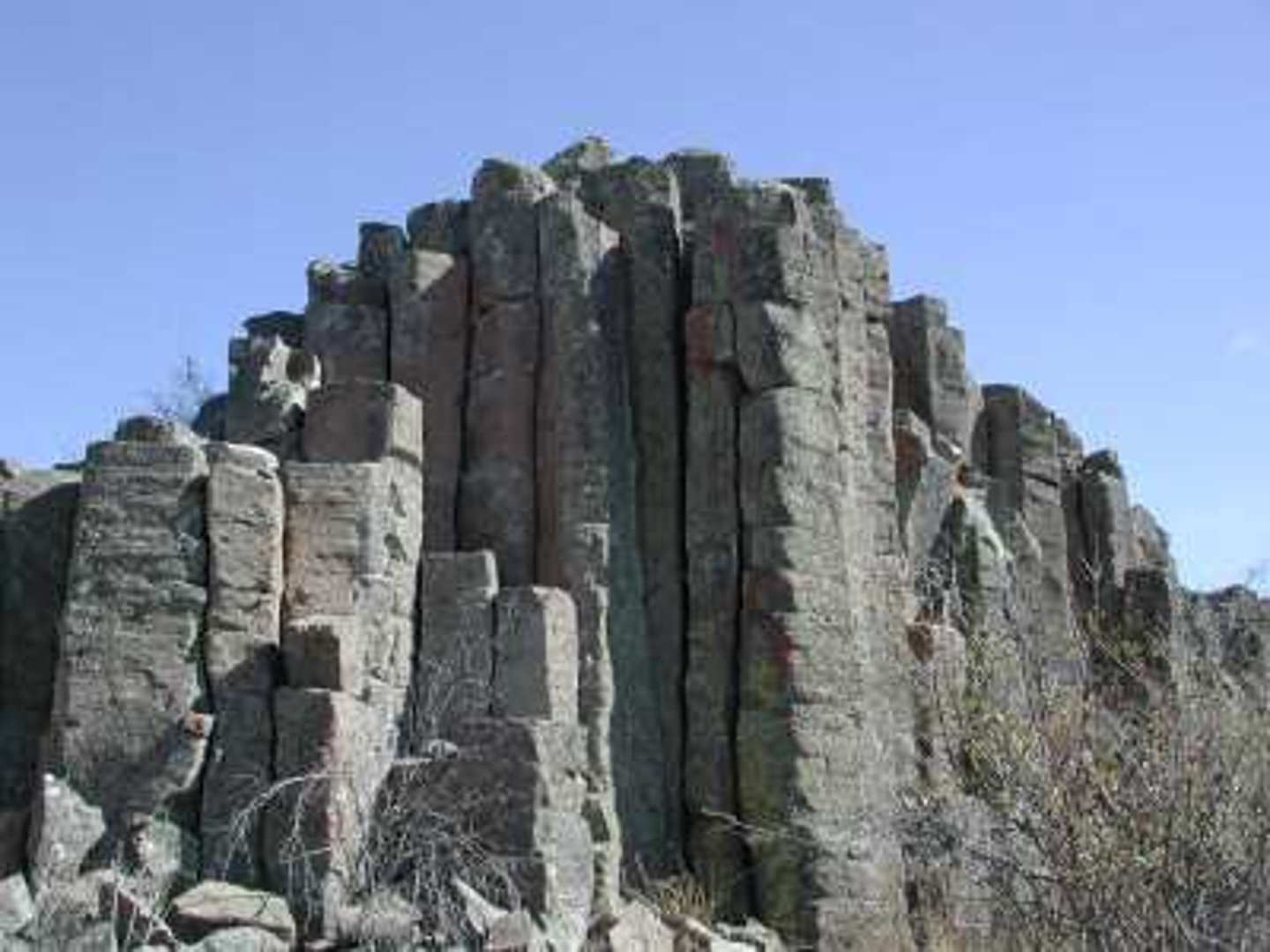
joint
a vertical crack within a rock, such as limestone, which result from the natural shrinking of the rock over time as it was formed; these may form weaknesses allowing water to penetrate the rock
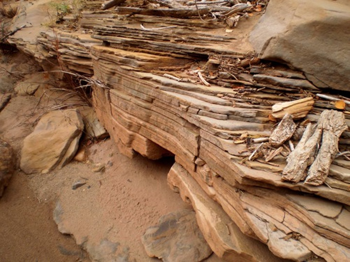
bedding plane
within a sedimentary rock, these represent the points where layers of sediment accumulates; they may later form horizontal weaknesses within the rock along which water may penetrate
natural arch
an arch-shaped structure formed as a result of natural processes within a rock feature such as a cliff
stump
a coastal feature that results from the collapse of a stack to form a protrusion of rock close to the sea surface
wave-cut platform
a flat area along the base of a cliff produced by the retreat of the cliff as a result of erosive processes.
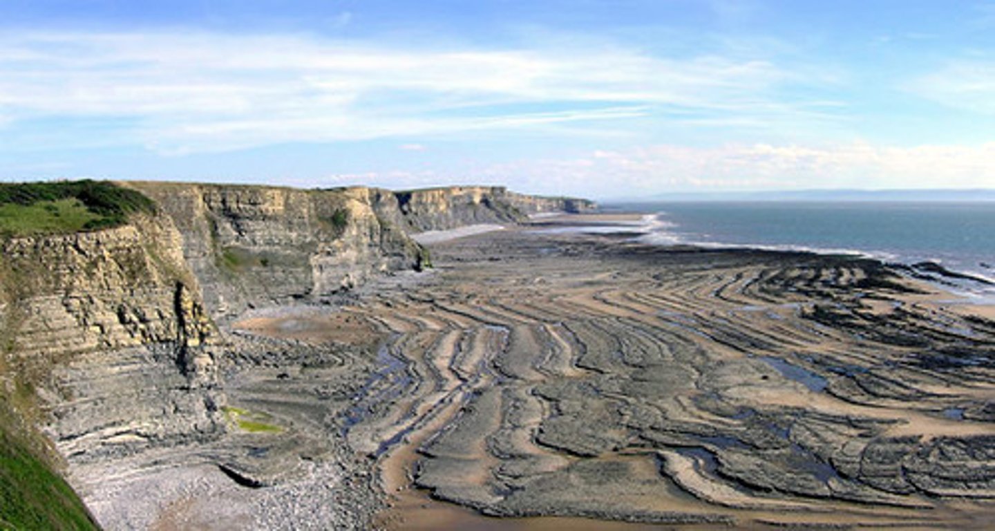
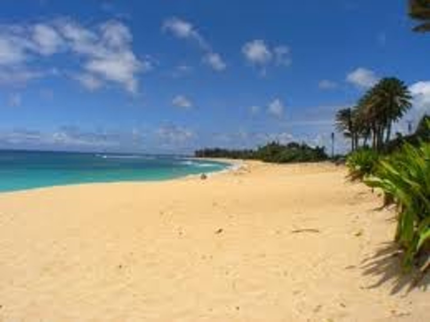
beach
an area of the shoreline that is made up of deposited sediment
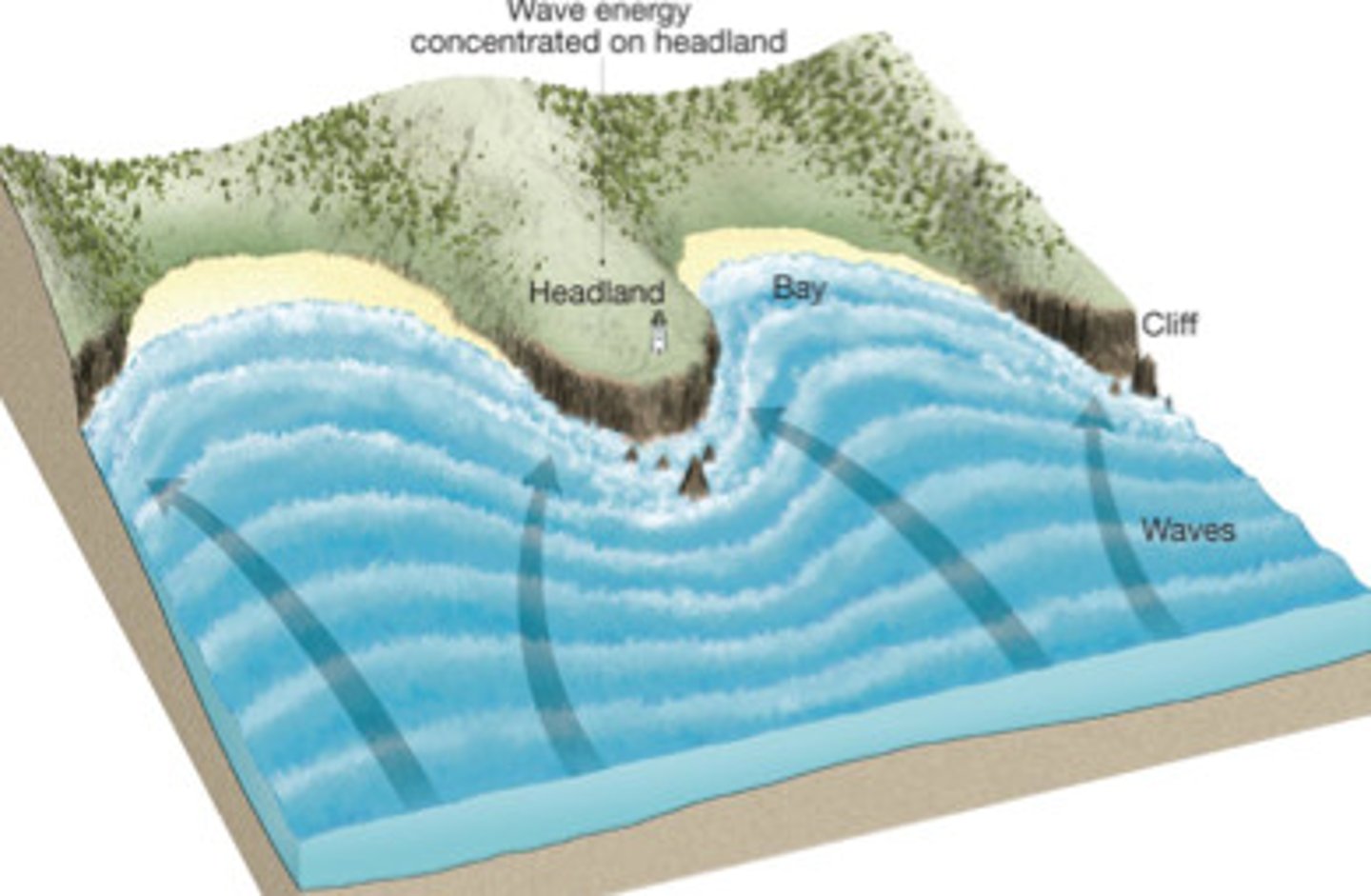
wave refraction
bending of waves due to shallowing water slowing them down
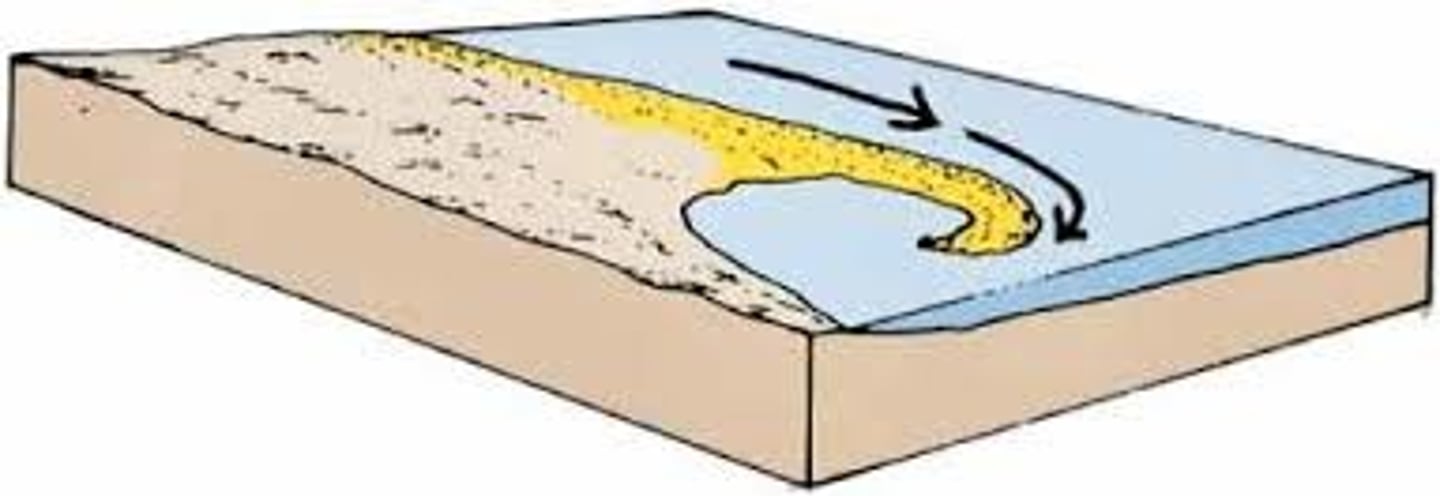
spit
a depositional landform formed at a change in direction of the coastline, due to longshore drift
corrasion
particles being carried by the river water or sea waves are thrown against the river banks or coastline
corrosion
the chemical decomposition of rocks; sometimes called solution
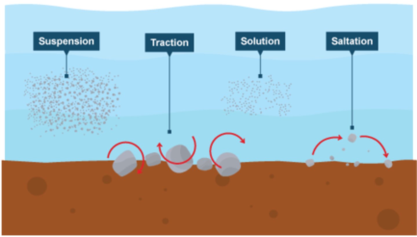
traction
The pushing or rolling of large sediment along a river or sea bed
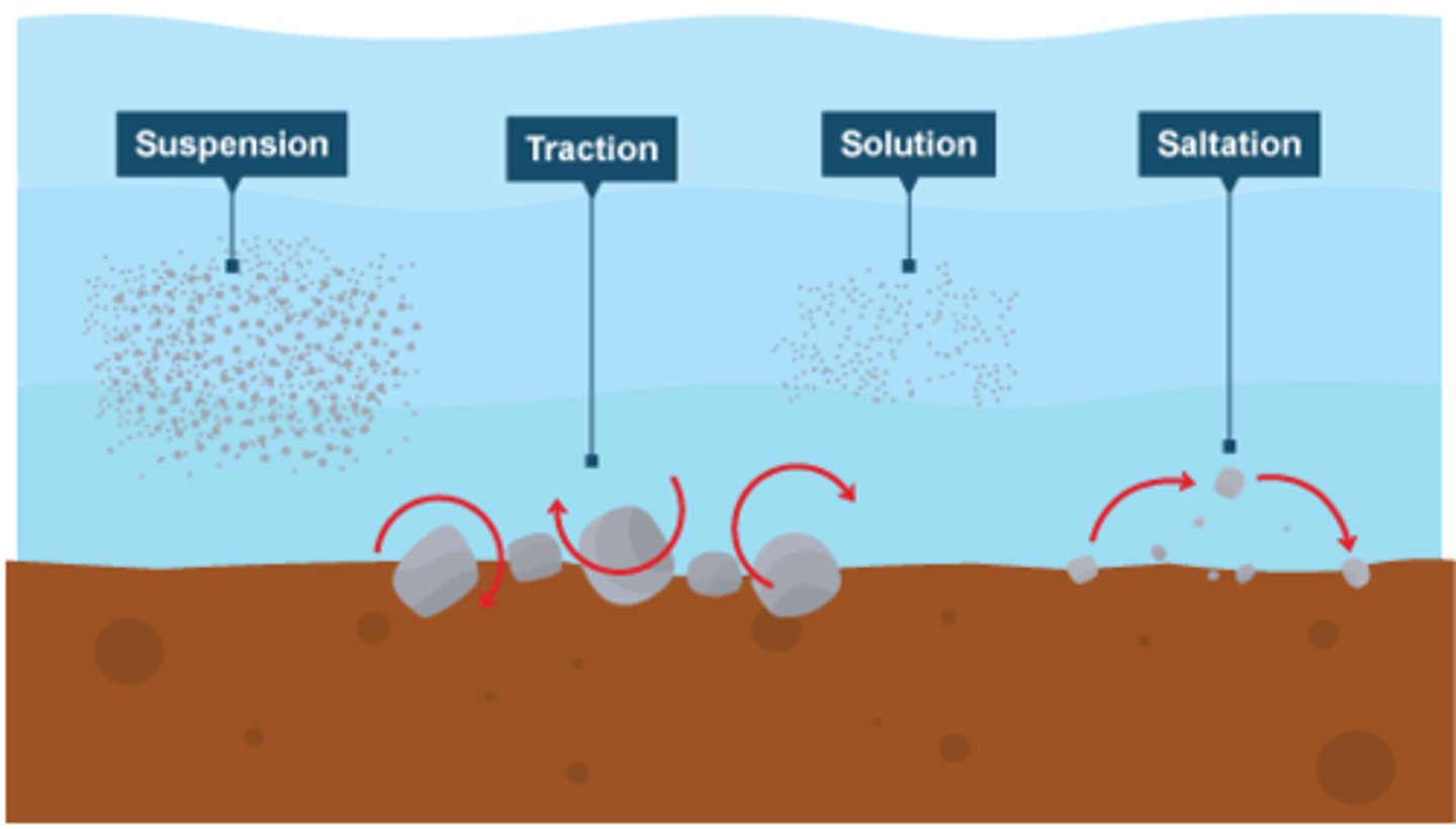
saltation
the hopping or bouncing of sediment along the river or sea bed
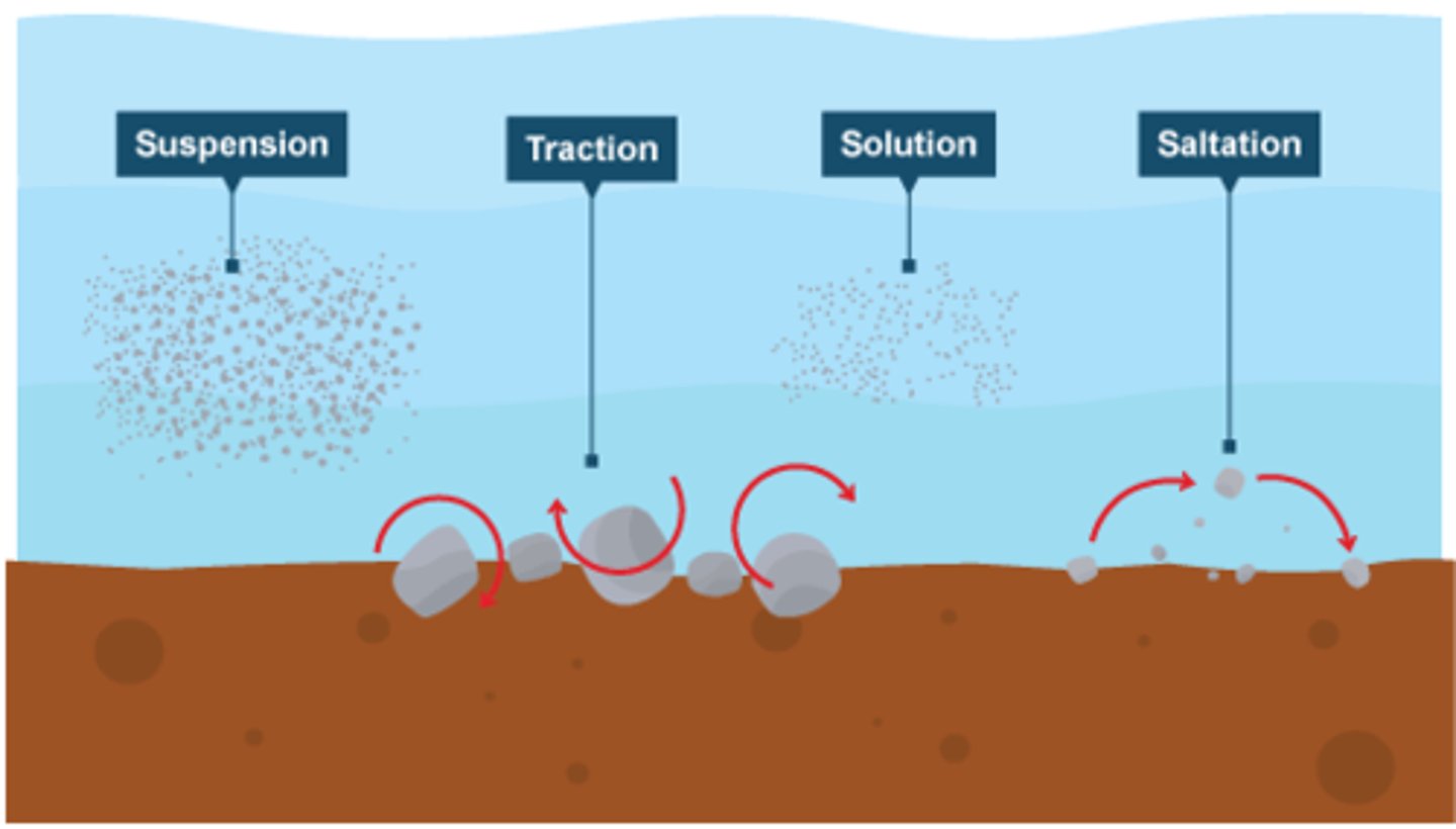
suspension
the process by which small sediment is carried along by river water or waves
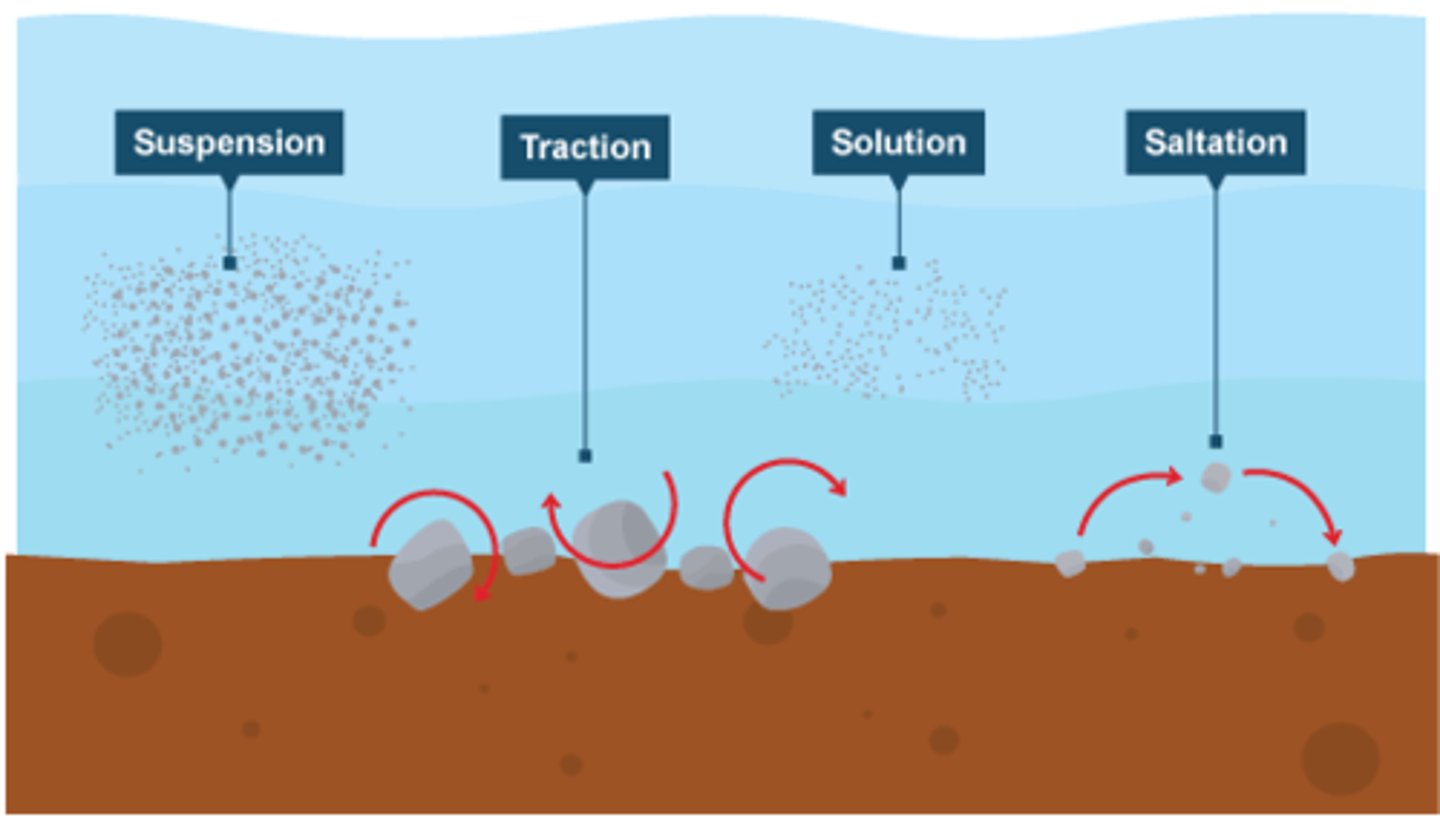
solution transport
the transport process by which material is dissolved in
discharge
The amount of water passing a given point in a river per unit of time; usually measured in cubic metres per second or CUMECS
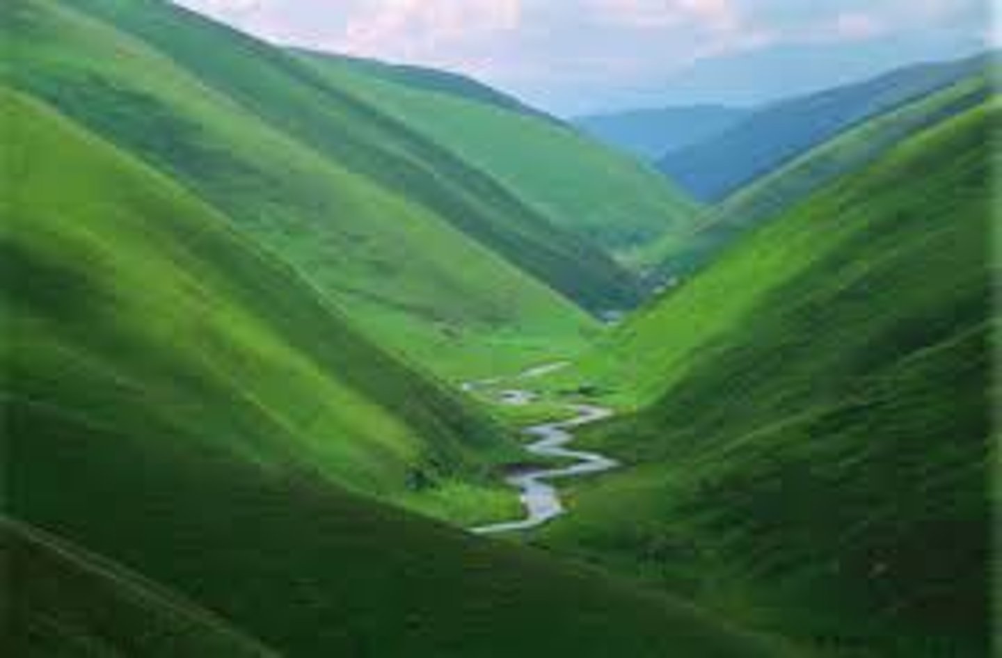
v-shaped valley
an erosional landform with steeply sloping straight sides usually found in the upper course of a river valley
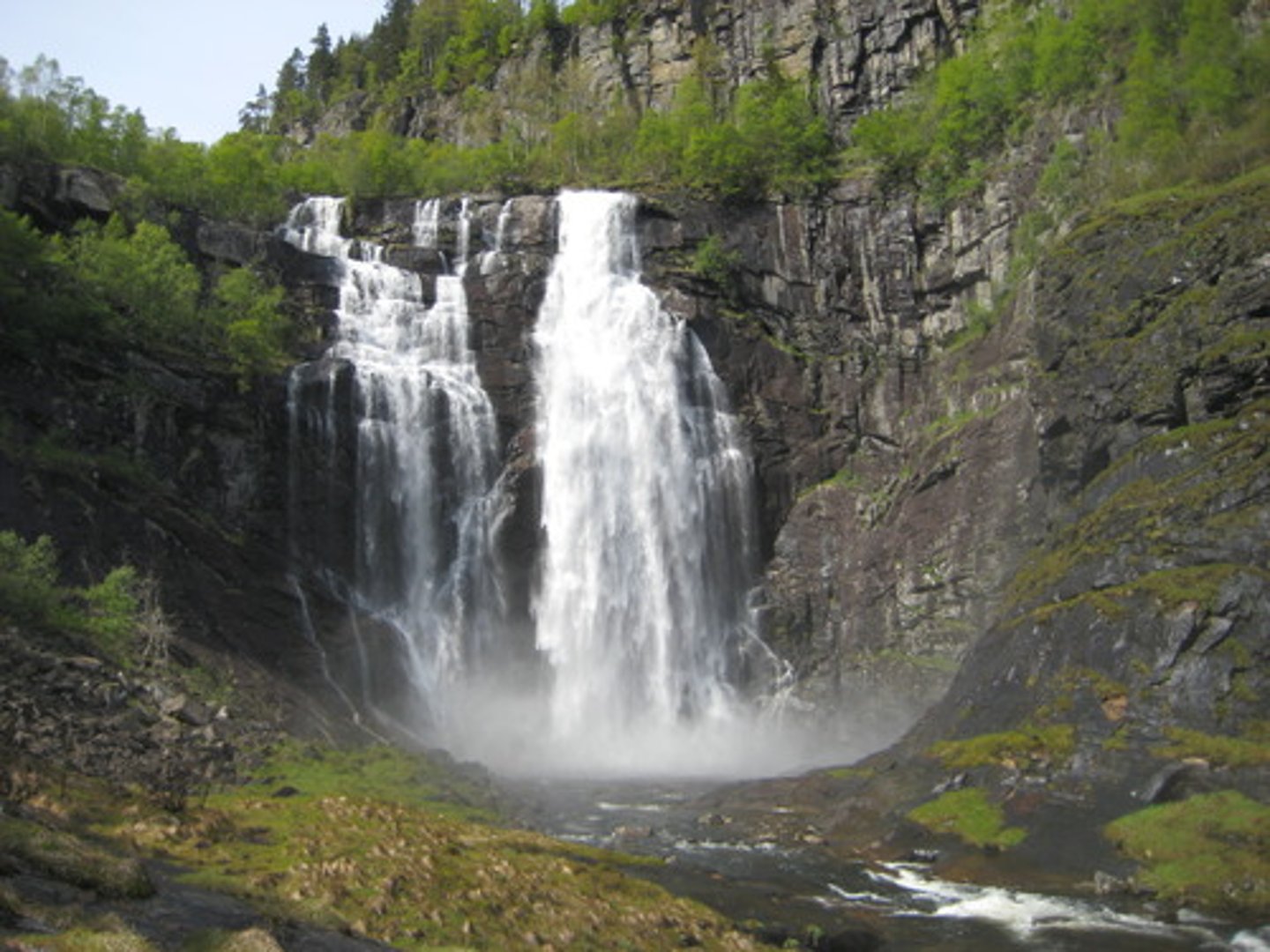
waterfall
a steep fall of water where its course crosses between different rock types, resulting in different rates of erosion
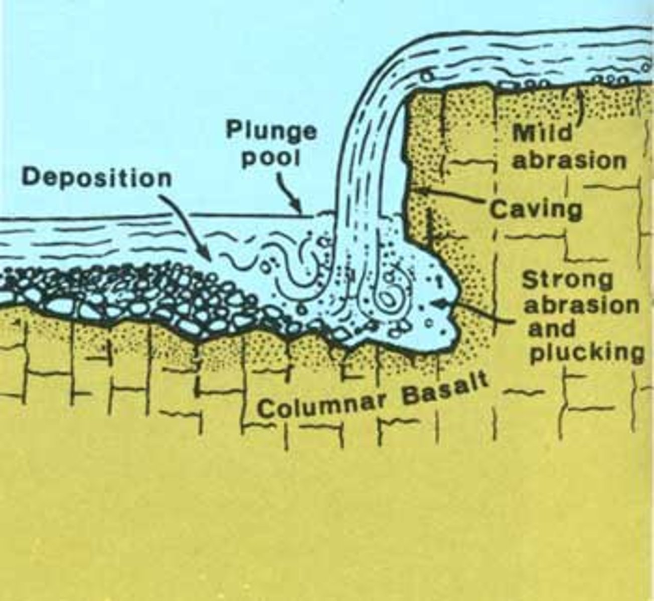
plunge pool
a pool formed at the base of a waterfall
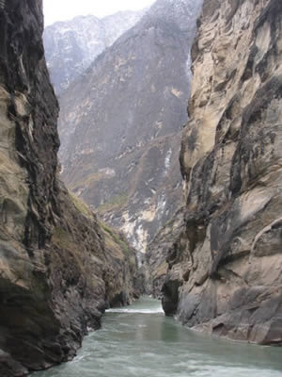
gorge
a narrow passage formed as a waterfall erodes backwards
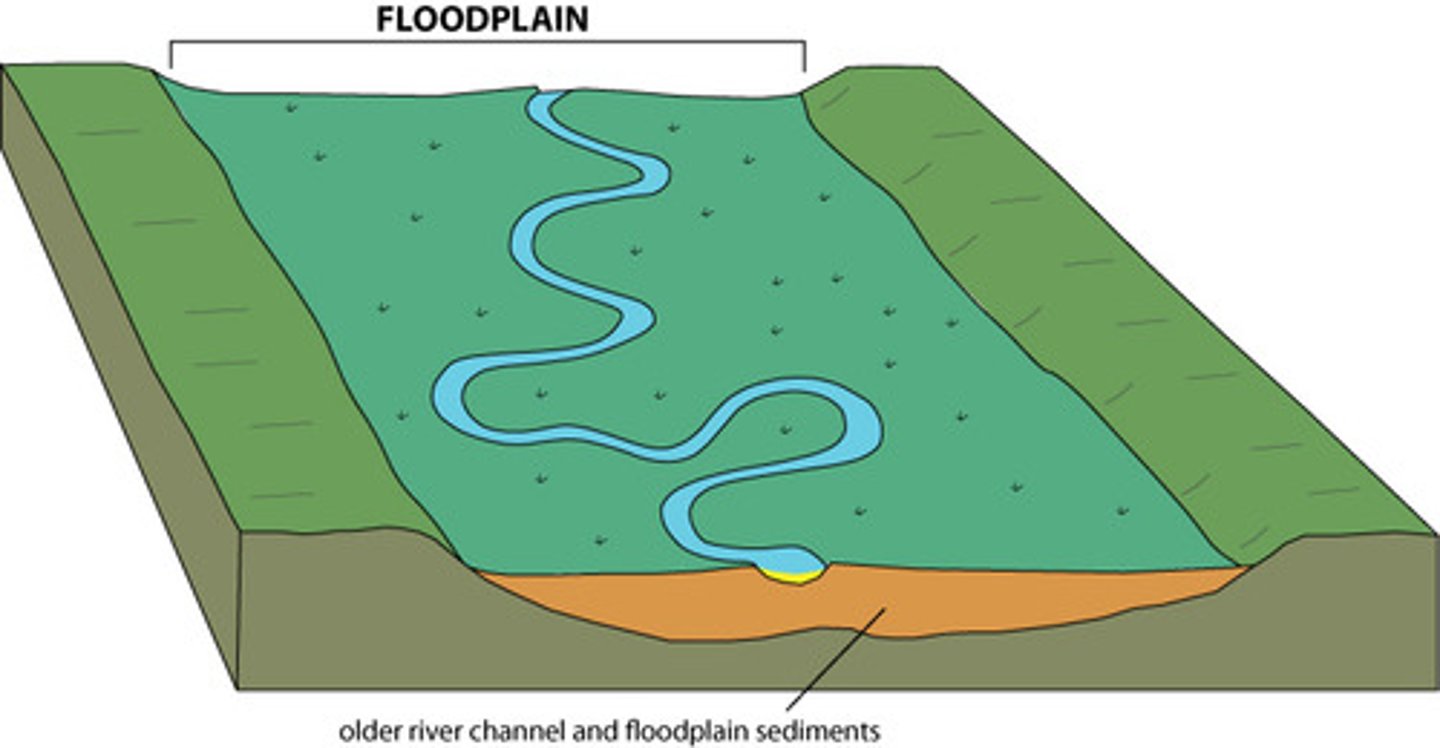
floodplain
the flat area of land either side of a river channel forming the valley floor, which may be flooded
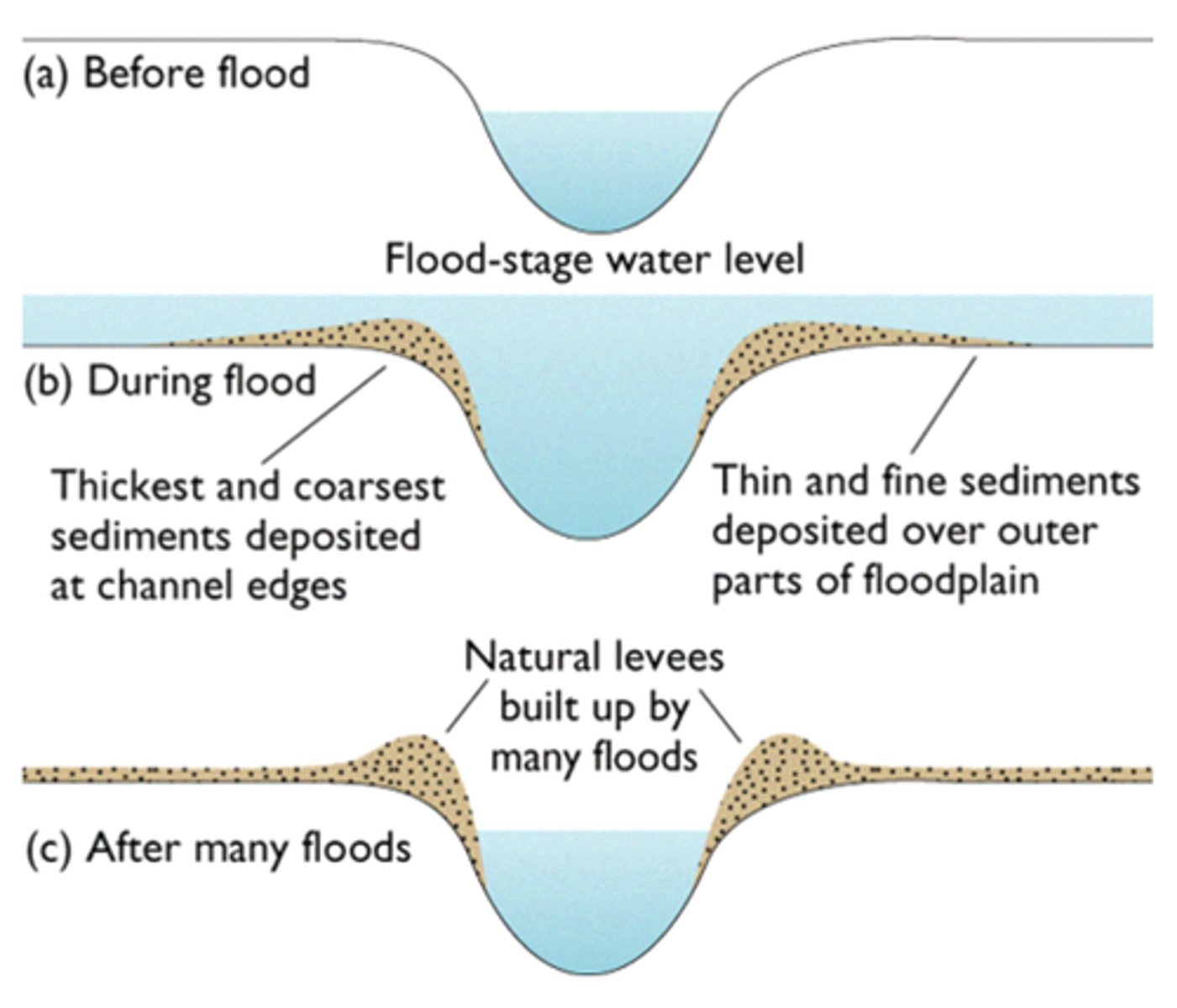
levee
raised banks along a river that help to reduce the risk of flooding
meander
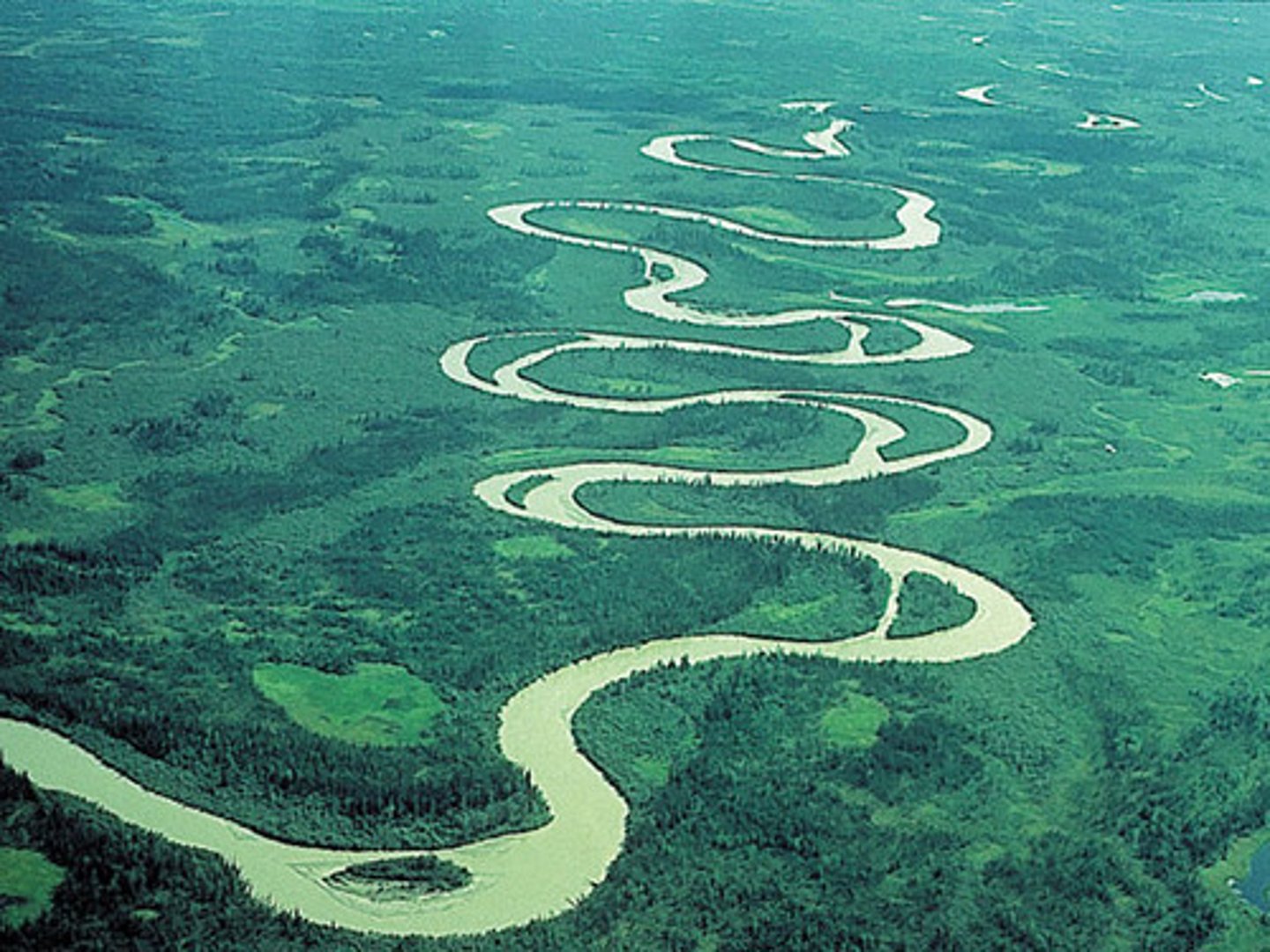
a sinuous bend in a river that results from the flow of water along it