mapping unit
1/16
Earn XP
Description and Tags
https://pubs.usgs.gov/gip/TopographicMapSymbols/topomapsymbols.pdf
Name | Mastery | Learn | Test | Matching | Spaced | Call with Kai |
|---|
No analytics yet
Send a link to your students to track their progress
17 Terms
small scale map
1:600 000 or greater
shows a large area with less detail
(____ scale because you are not zooming in that much)
eg. atlas maps on continents
medium scale map
btwn 1:75 000 - 1:600 000
shows moderate area in moderate detail
large scale map
less than 1:75 000
shows small area in great detail
(you are zooming in a ton)
eg. map of surrey
topographic map
shows three dimensional aspects of an area, such as elevation through the use of contour lines
planimetric map
shows the two-dimensional layout of an area, through vertical and horizontal distance
define scale
the relationship between the distance on a map and the actual distance on the ground
3 types of scale (give examples)
Verbal scale: 1 cm represents 4 km
Linear scale: see photo
Representative Fraction: 1: 400 000
magnetic declination
the angle between the physical north pole and the magnetic north pole
3 ways to calculate gradient
m/km (include negative if slope points down! m = vertical distance, km = horizontal distance)
% (must have same units on top & bottom of fraction)
ratio (round to 1 decimal place, must have the first number be 1)
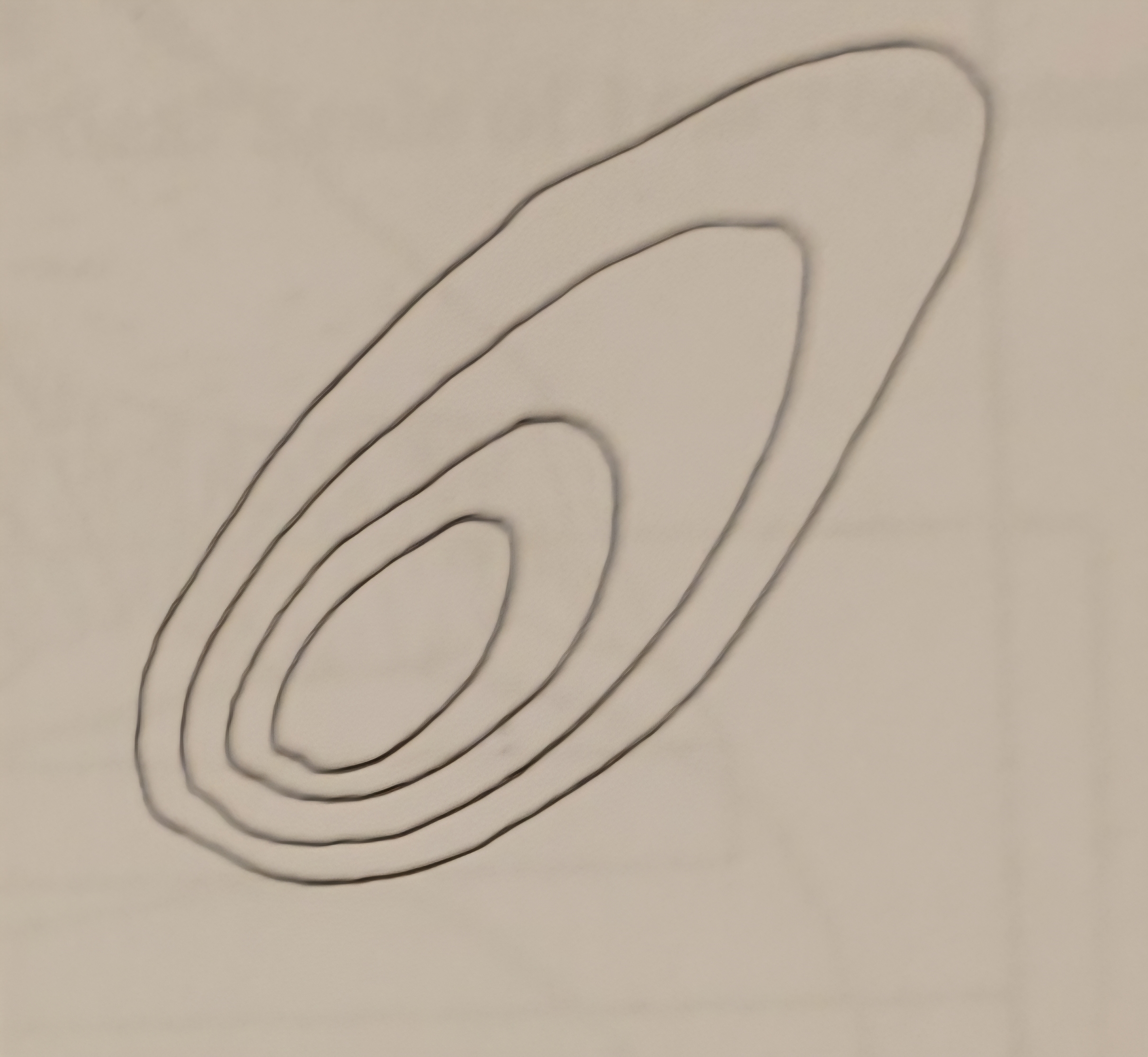
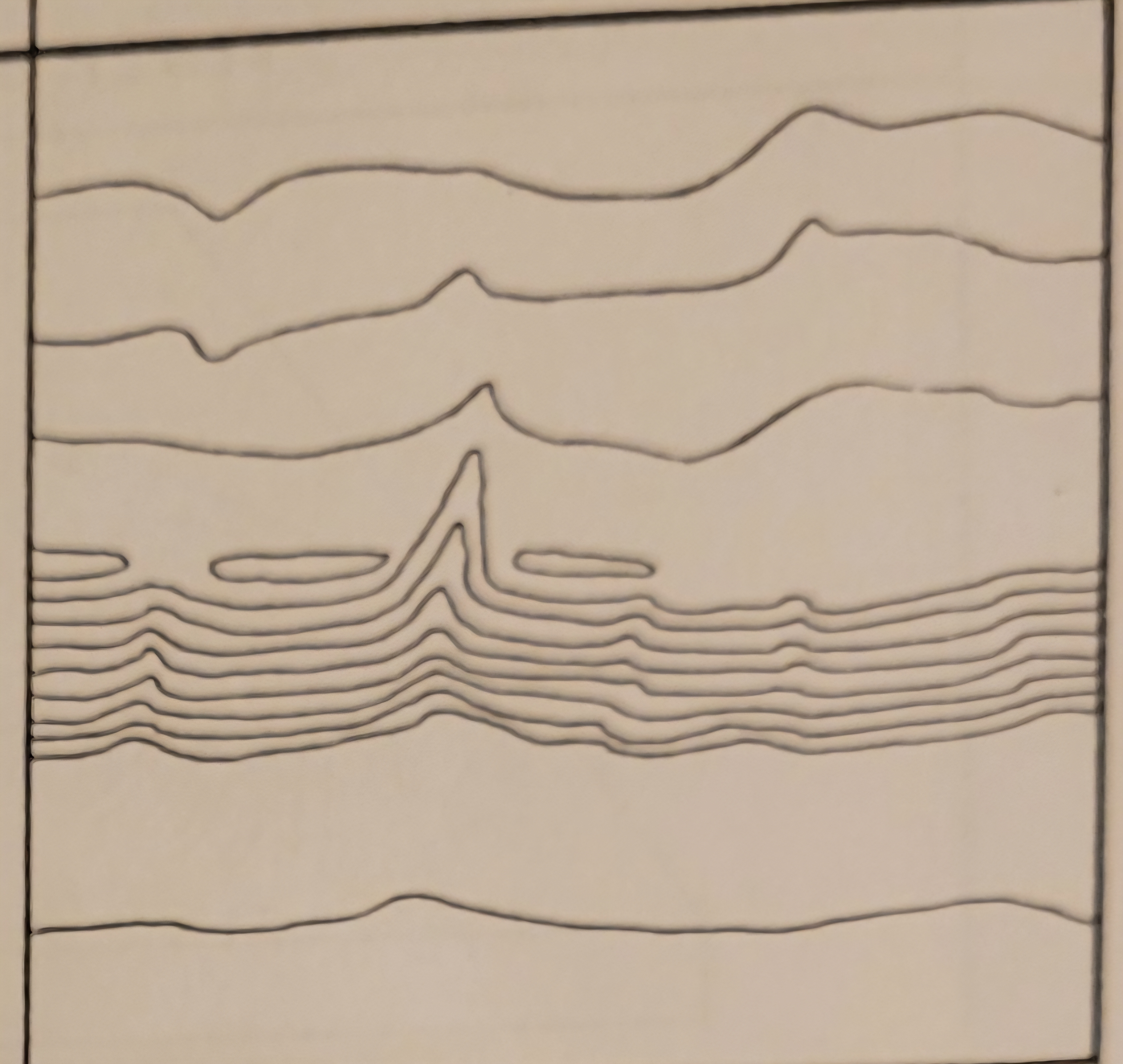
what is this landform
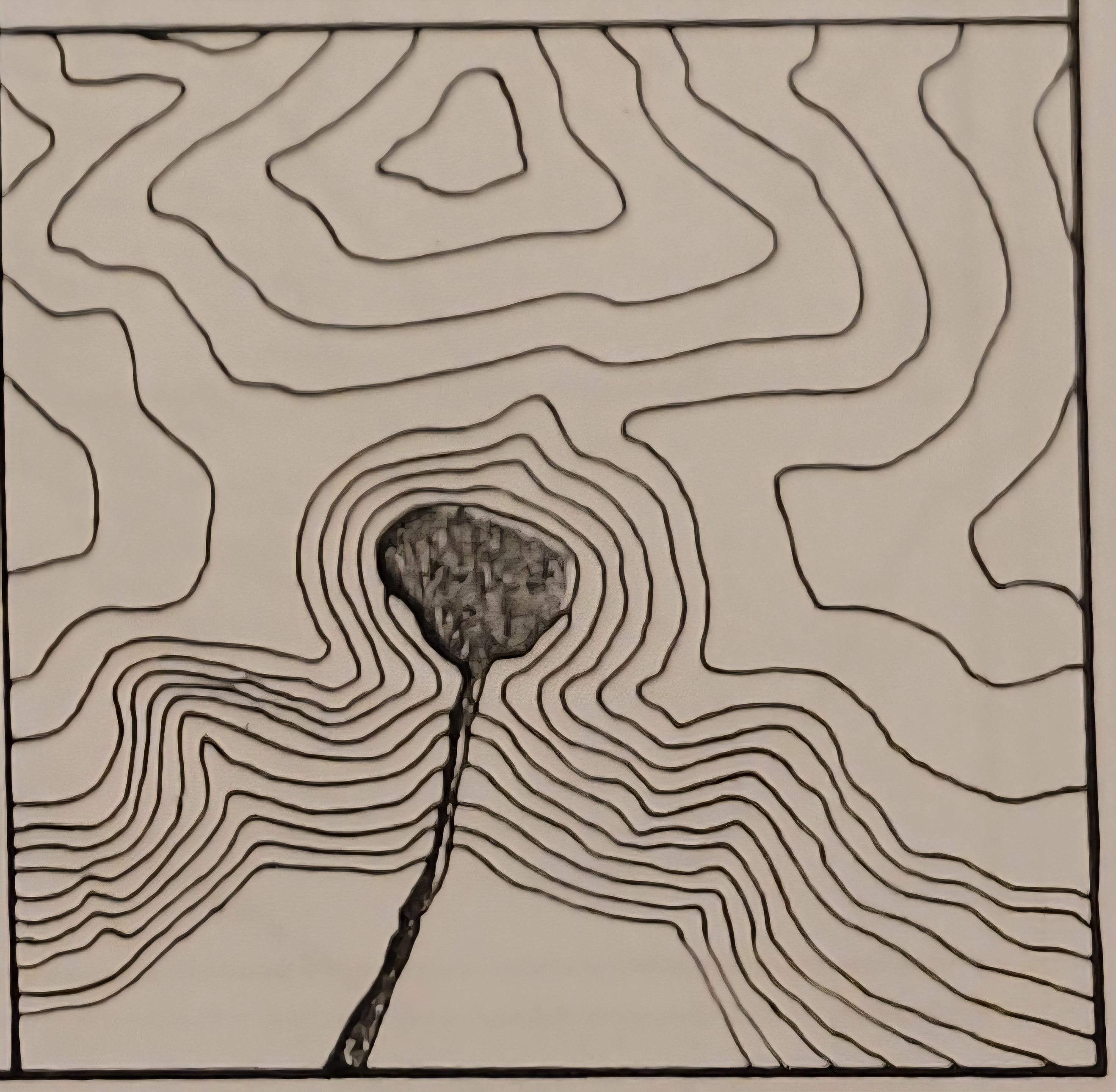
drumlin
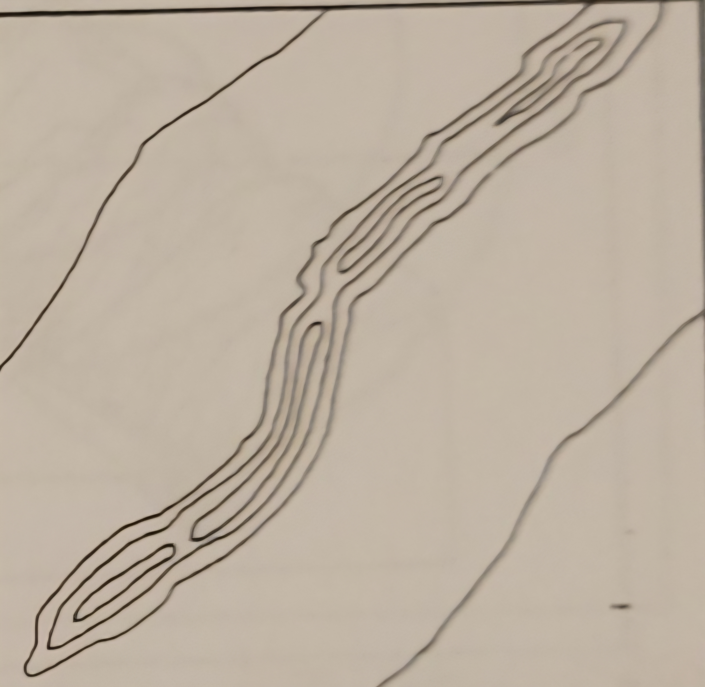
what is this landform
what is this landform
what is this landform
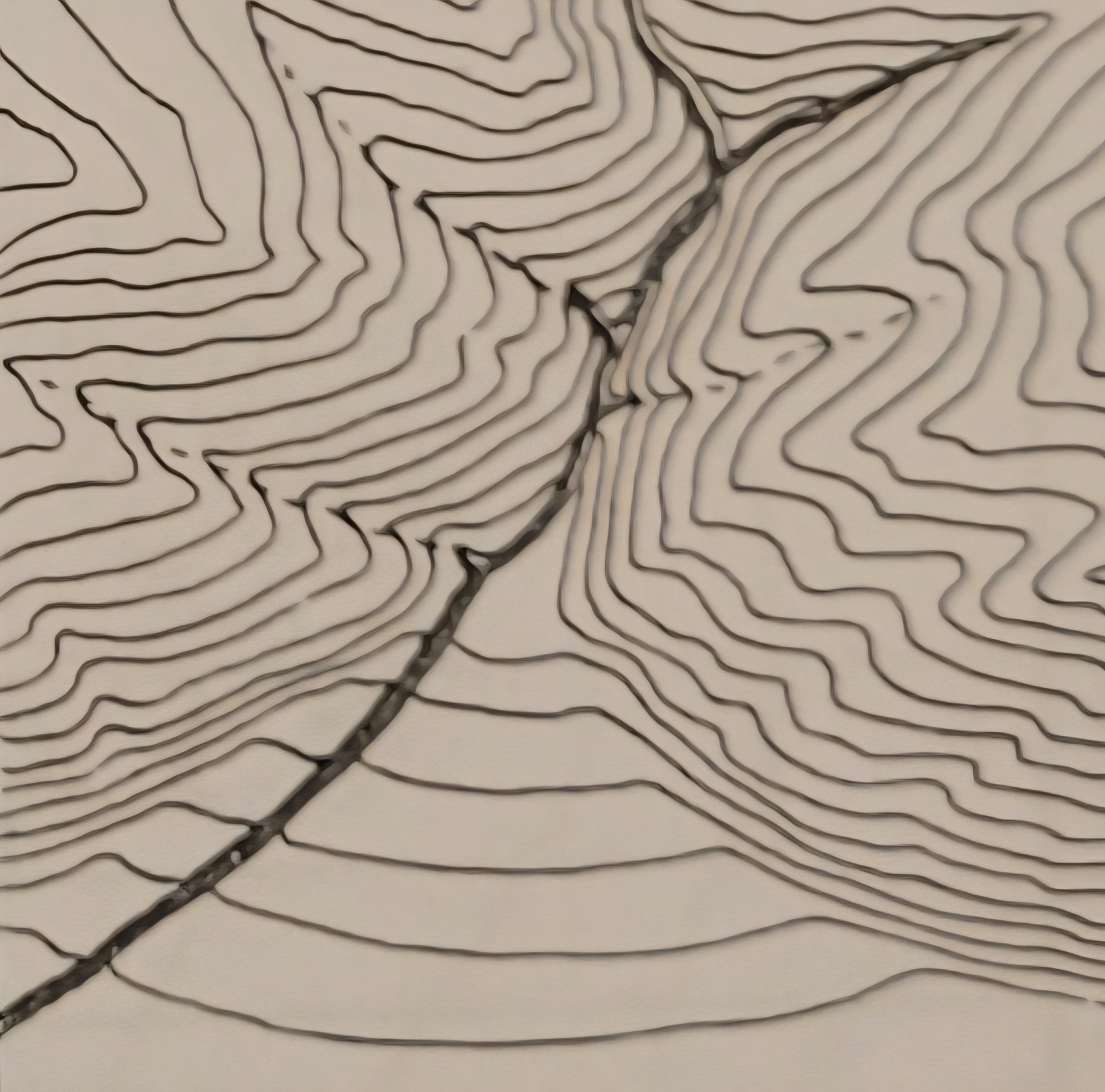
what is this landform
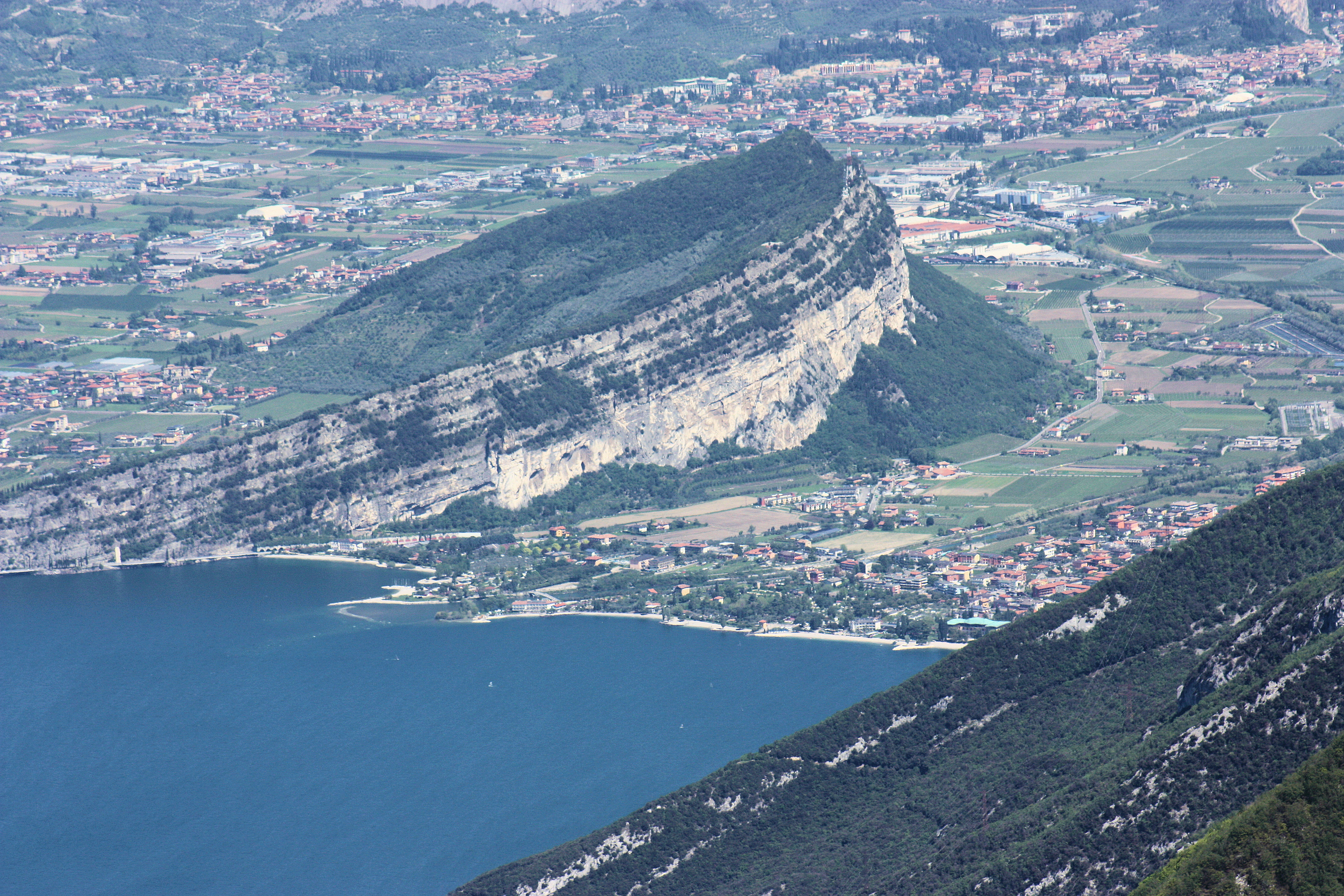
Cuesta or escarpment
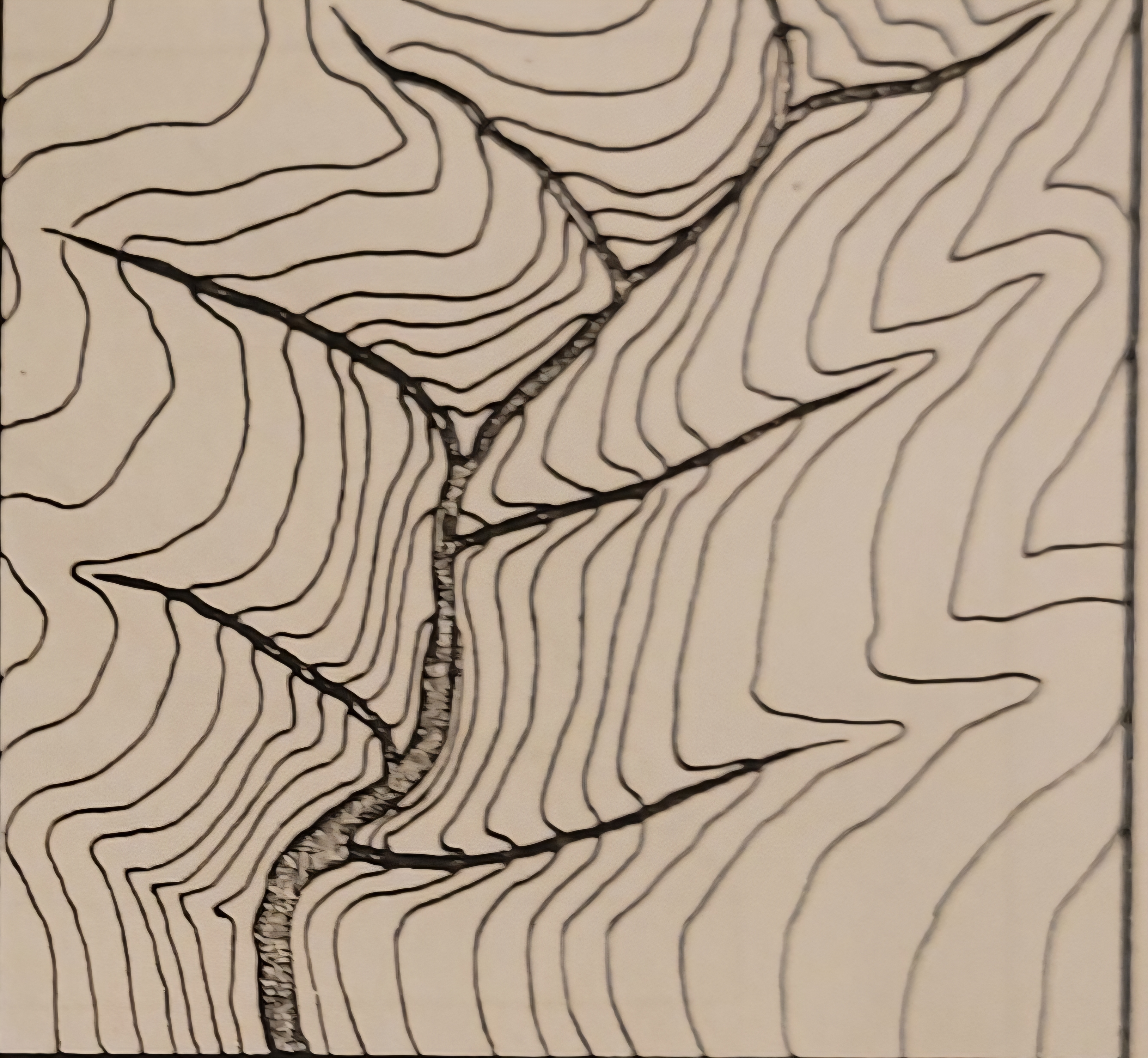
what is this landform
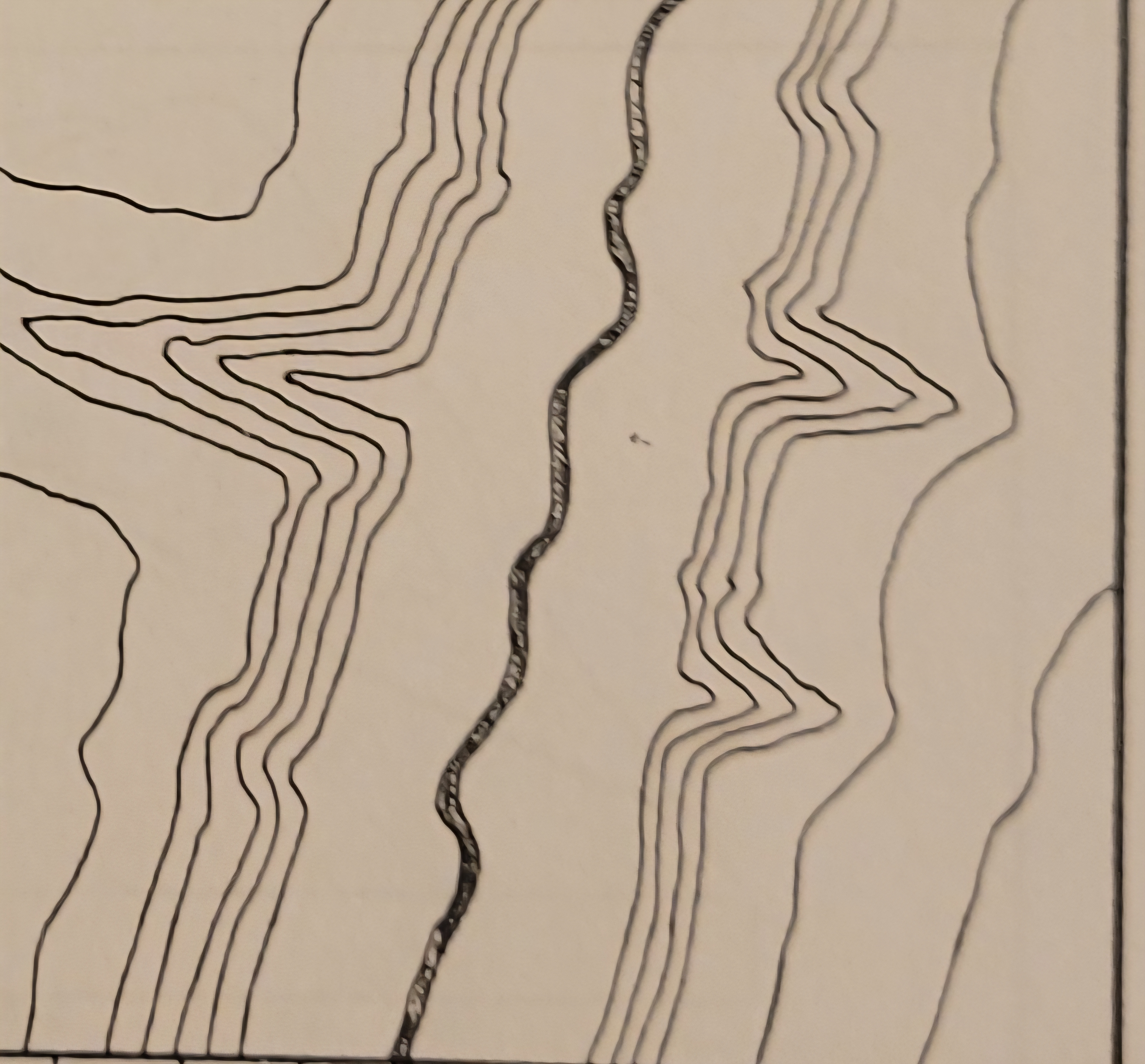
what is this landform
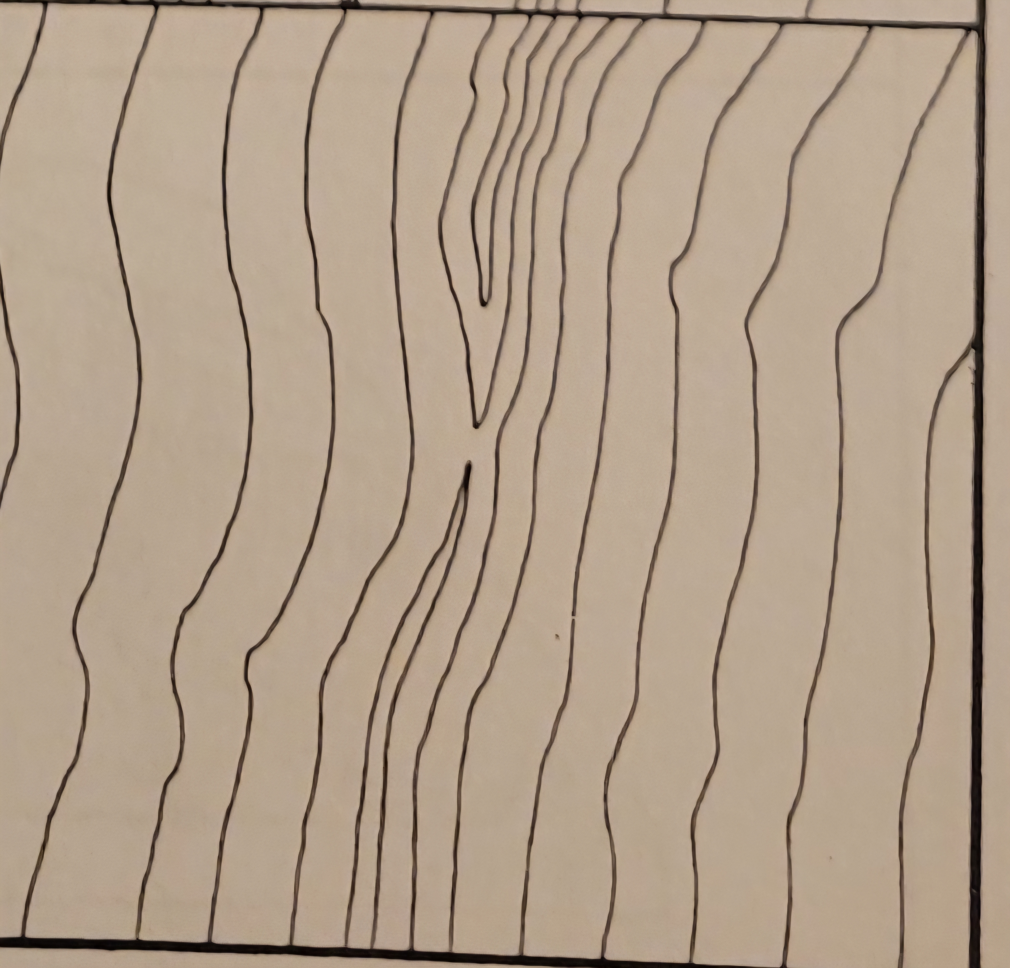
what is this landform