E&E 151 S Introductory Geology: Chapter 15.2 (Geologic Structures Pt. 2) Visualization Study
 Call Kai
 Learn
 Practice Test
 Spaced Repetition
 Match
 Flashcards
 Knowt Play
1/5

There's no tags or description
Looks like no tags are added yet.
6 Terms
Geologic Map
A map that uses standardized symbols, colors, and patterns to illustrate the distribution of rock units, rock types, structural features, and ore deposits.
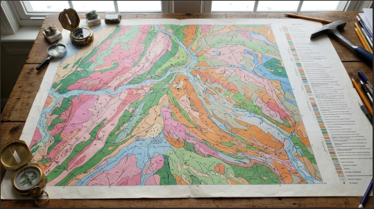
Outcrop
A visible exposure of bedrock directly at the Earth's surface.

Horizontal Bedding Symbol
A map symbol (often depicted as a circle with a horizontal line through it) used to mark flat, horizontal sedimentary beds in an outcrop.
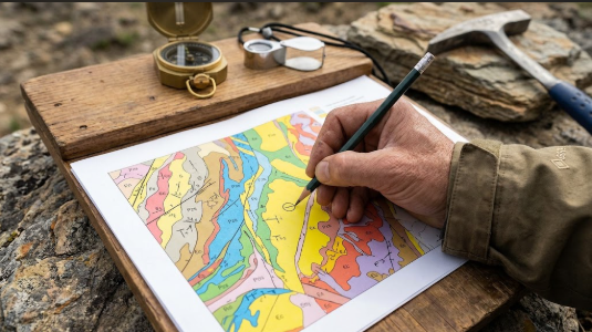
Strike and Dip Symbol
A map symbol consisting of a long line for the strike direction, a shorter perpendicular tick mark pointing in the dip direction, and an adjacent number specifying the exact dip angle.

Vertical Dip Symbol
A distinct map symbol indicating that rock beds stand completely vertical, dipping neither to the left nor right of the strike direction.

Geologic Cross Section
A diagram illustrating a vertical slice through a portion of the Earth, created by projecting bed dips into the subsurface to visualize geological structures in three dimensions.
