HSTK N Admiralty (Areas, Limits)
 Call Kai
 Learn
 Practice Test
 Spaced Repetition
 Match
 Flashcards
 Knowt Play
1/49

There's no tags or description
Looks like no tags are added yet.
50 Terms
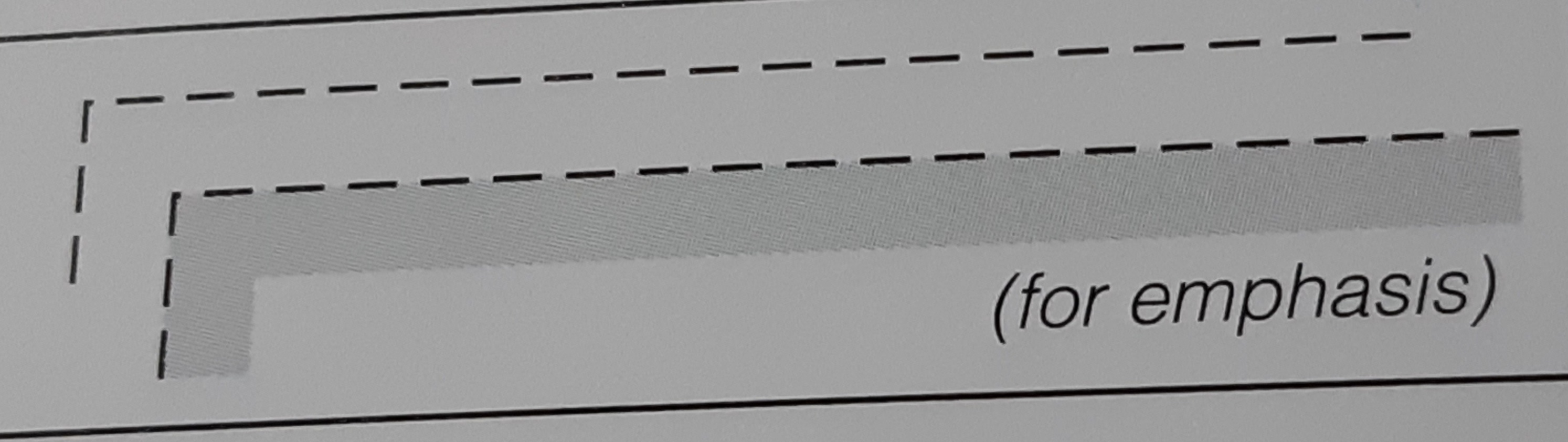
Maritime limit in general, ususally implying permanent physical obstructions
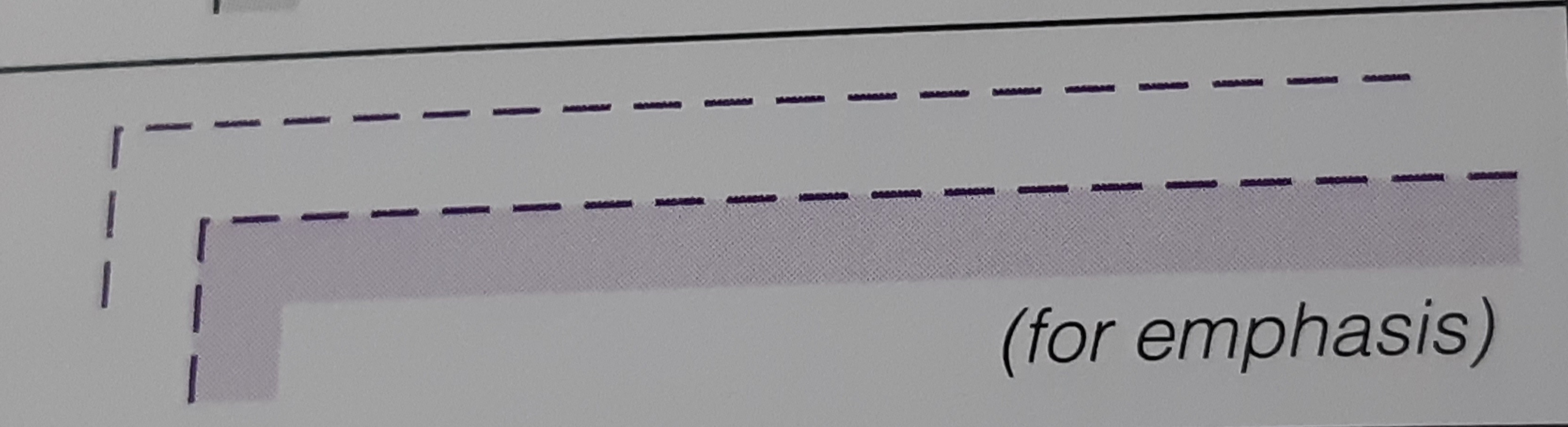
Maritime limit in general, ususally implying no permanent physical obstructions
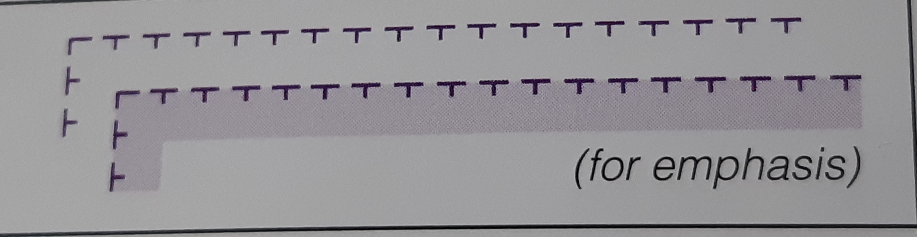
Limit of restricted area
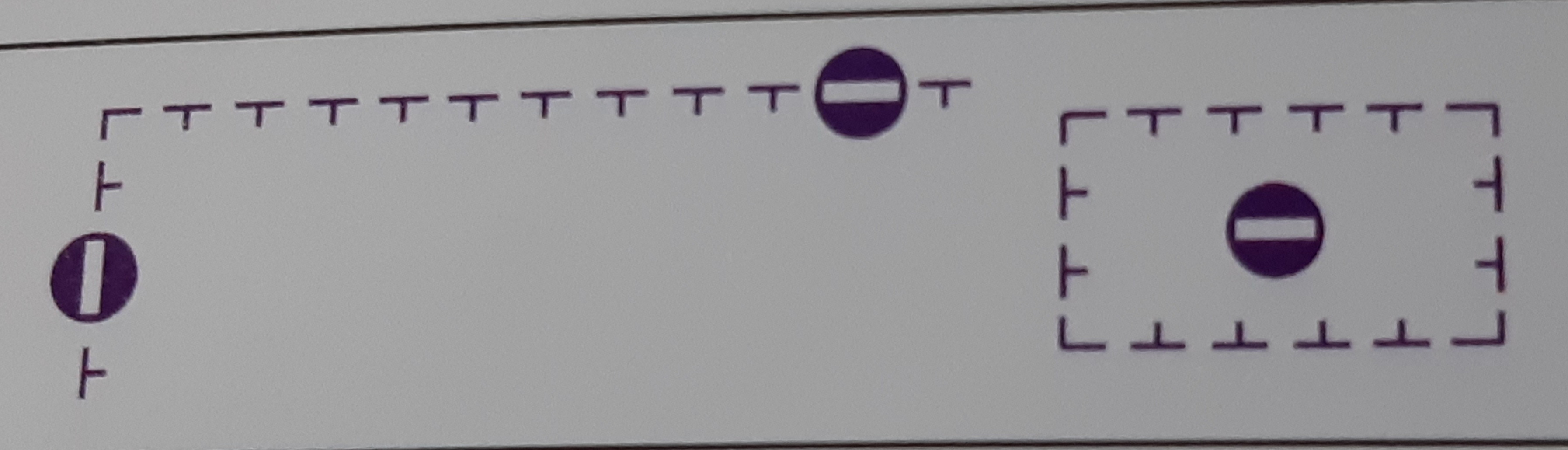
Limit of area into which entry is prohibited // Military restricted area into which entry is prohibited

Reported anchorage (no defined limits)
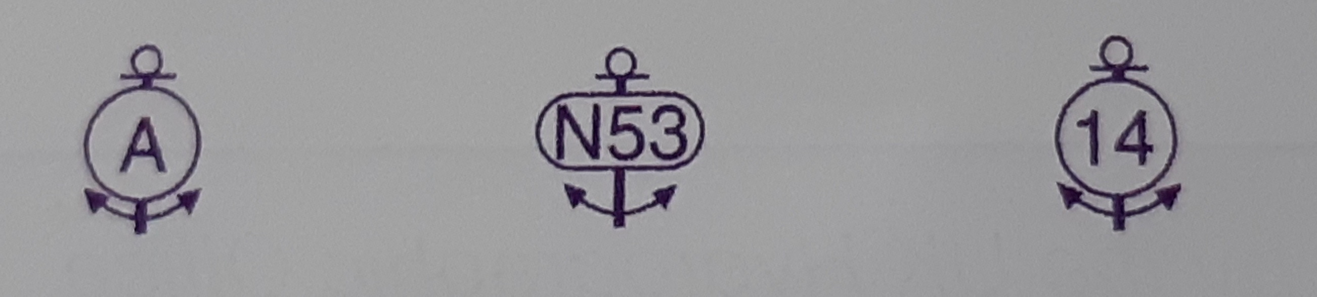
Anchor berths
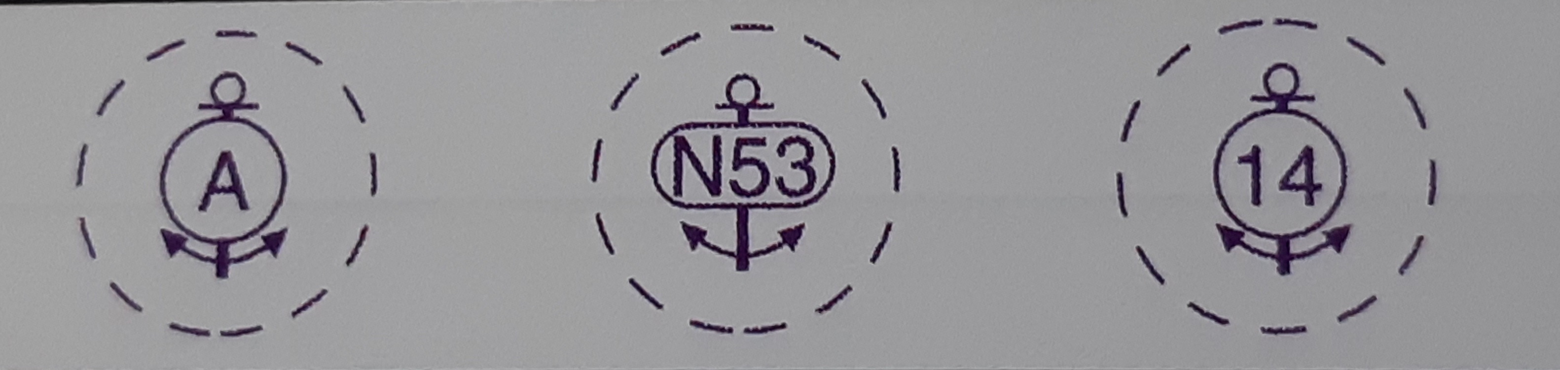
Anchor berths with swinging circle
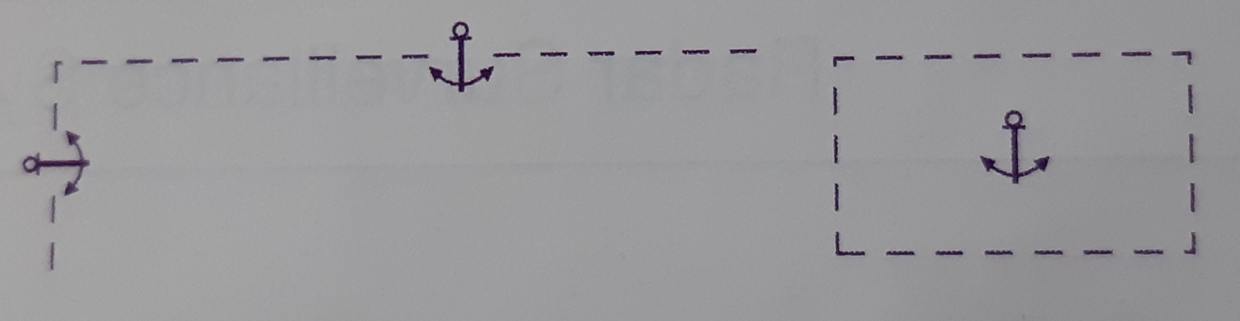
Anchorage area in general. On smaller scale charts, the limits may be omitted
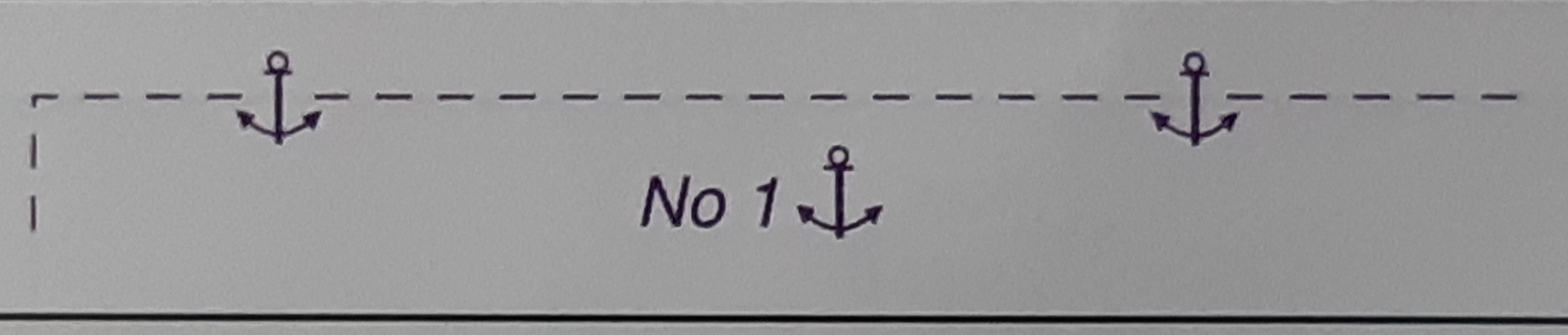
Numbered anchorage area
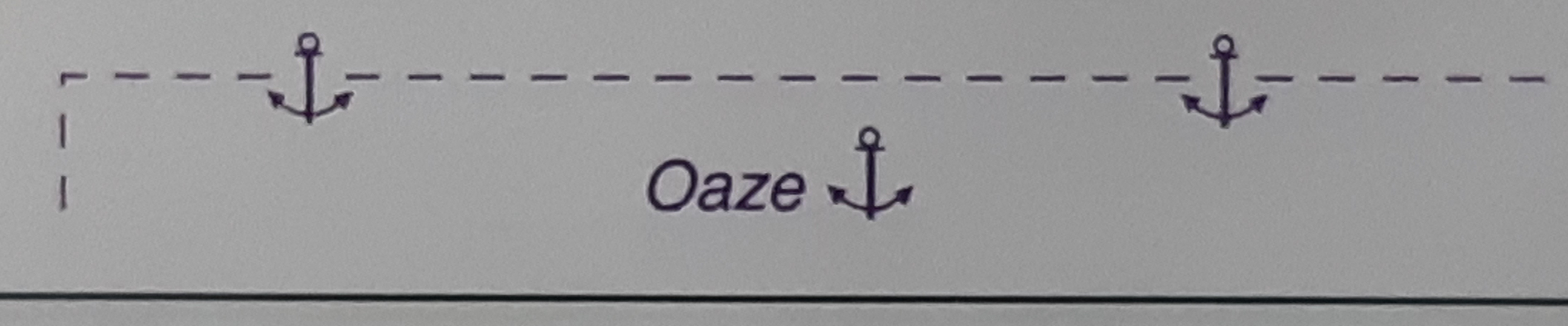
Named anchorage area
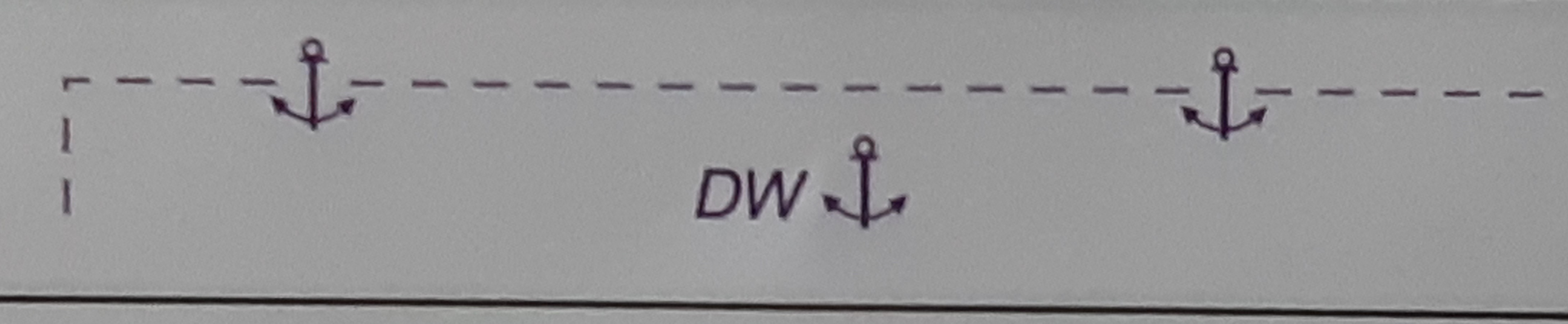
Deep water anchorage area, anchorage area for deep-draught vessels
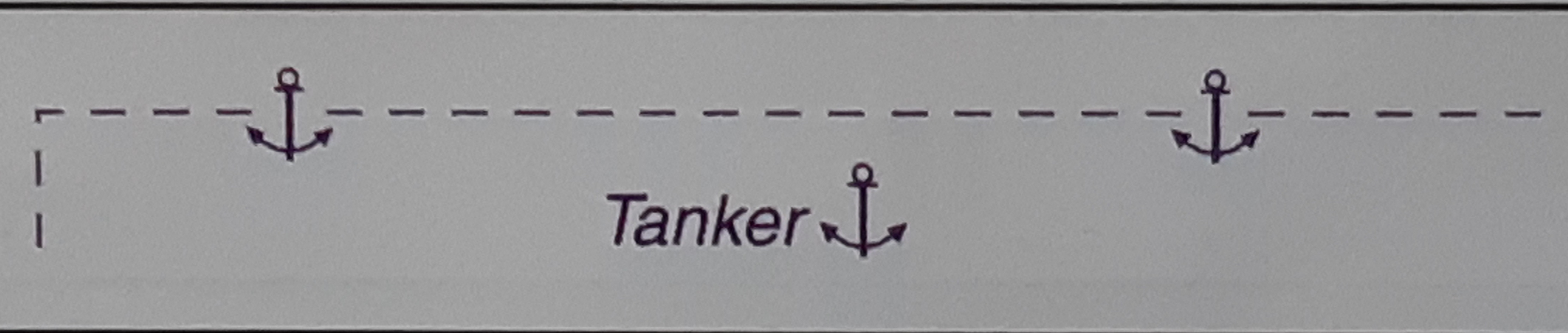
Tanker anchorage area
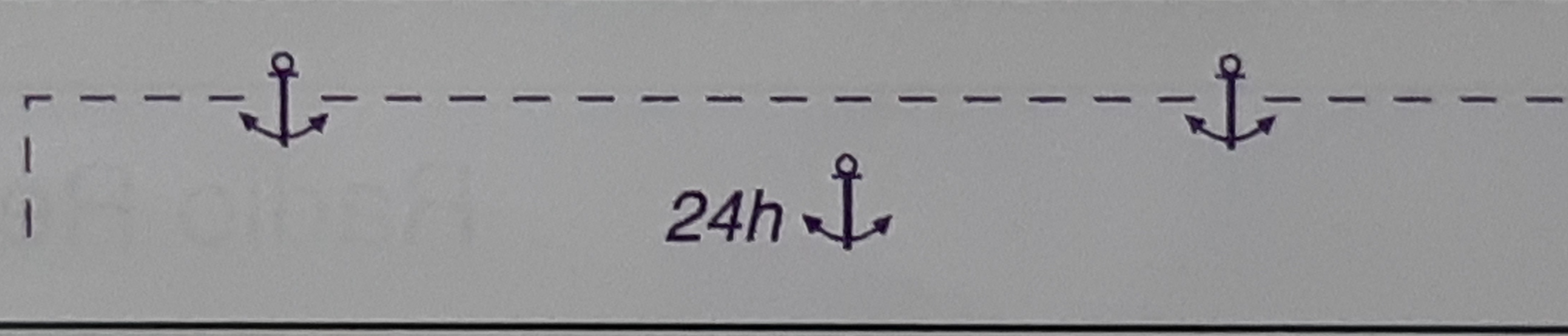
Anchorage area for periods up to 24 hours
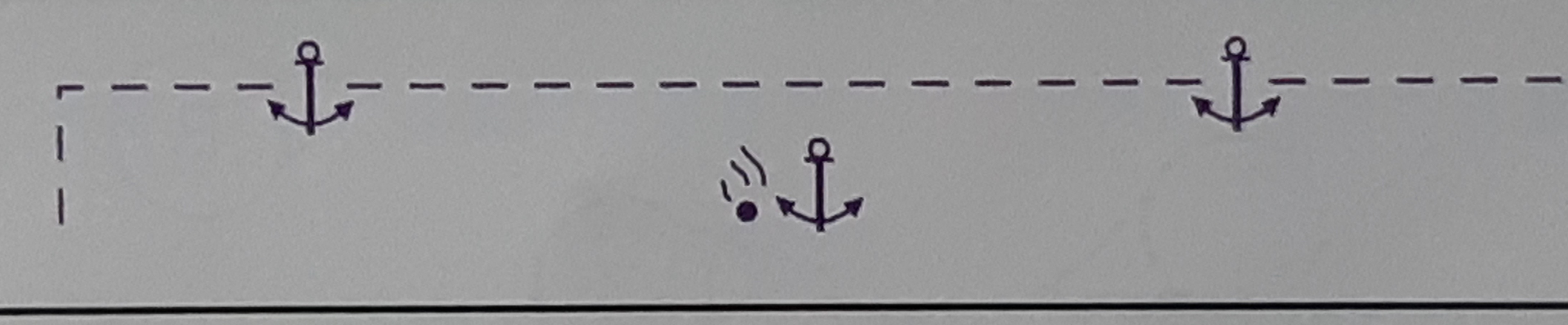
Dangerous cargo anchorage area
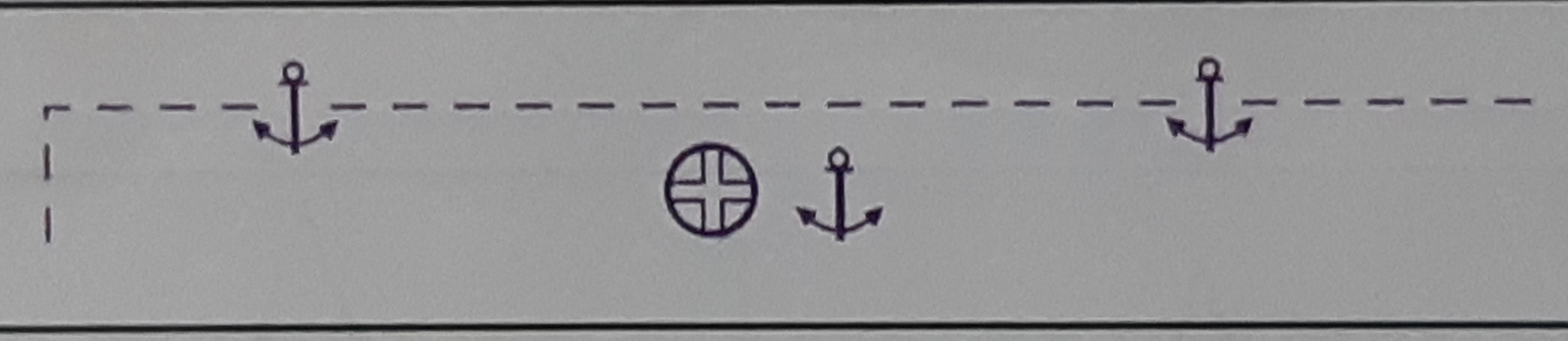
Quarantine anchorage area
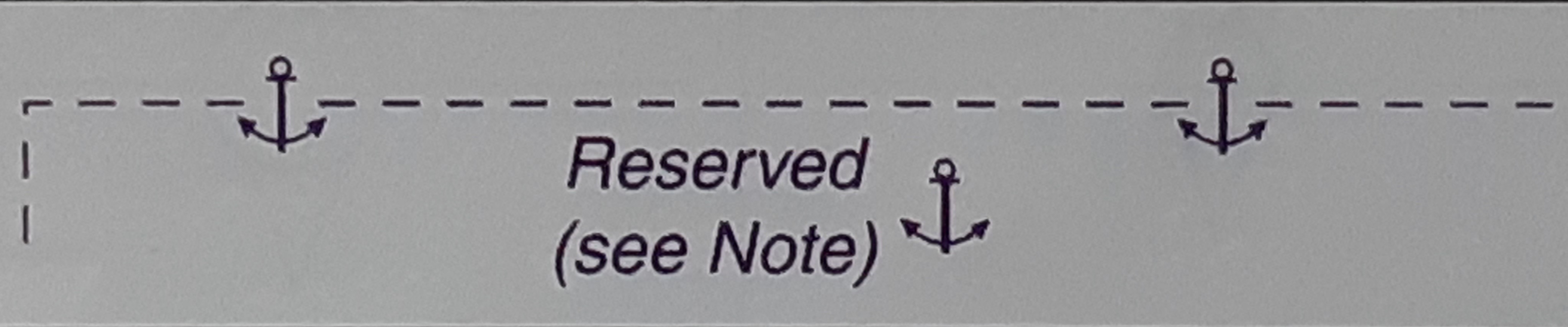
Reserved anchorage area

Seaplane operating area

Anchorage for seaplanes
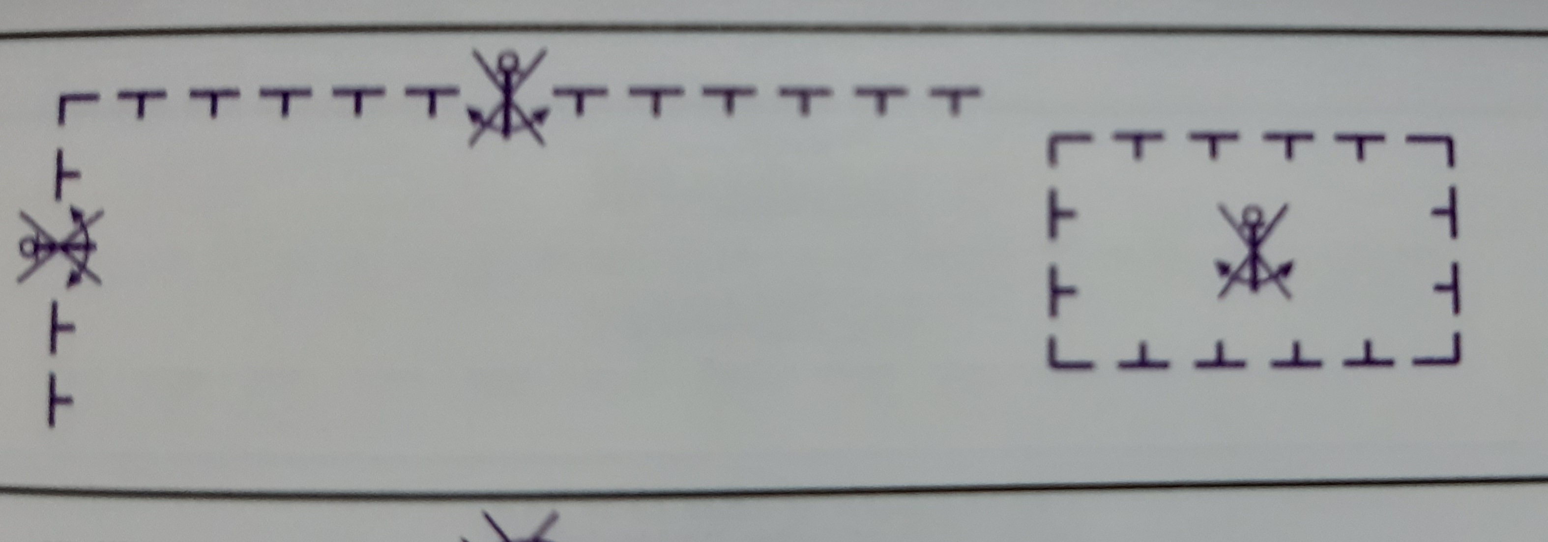
Anchoring prohibited
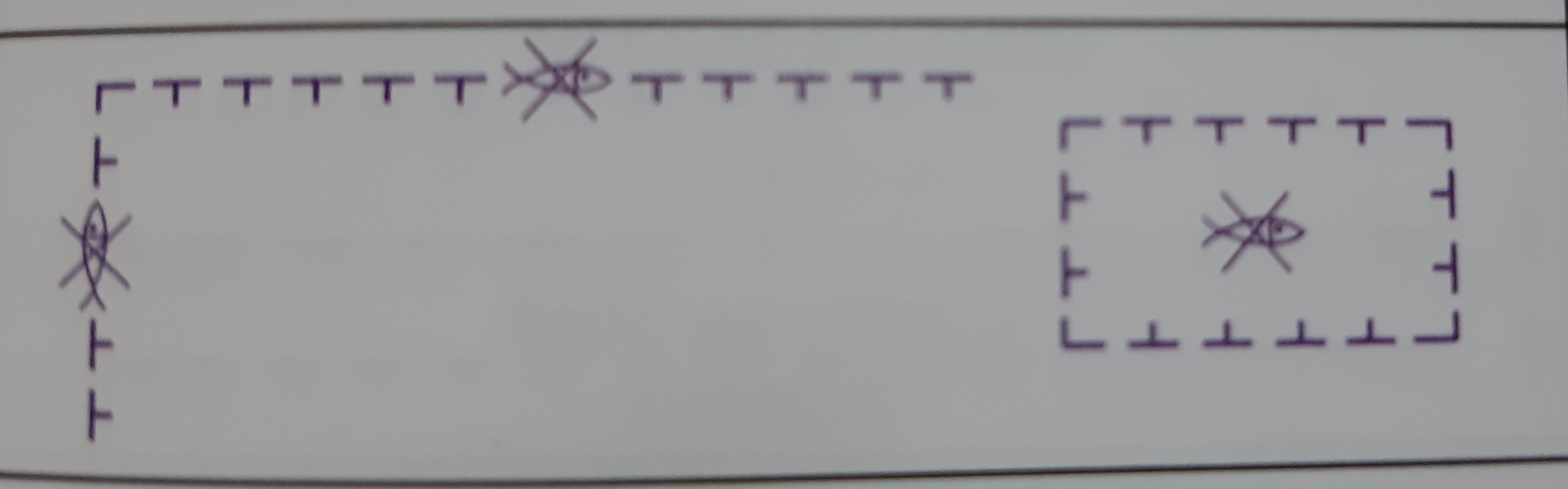
Fishing prohibited
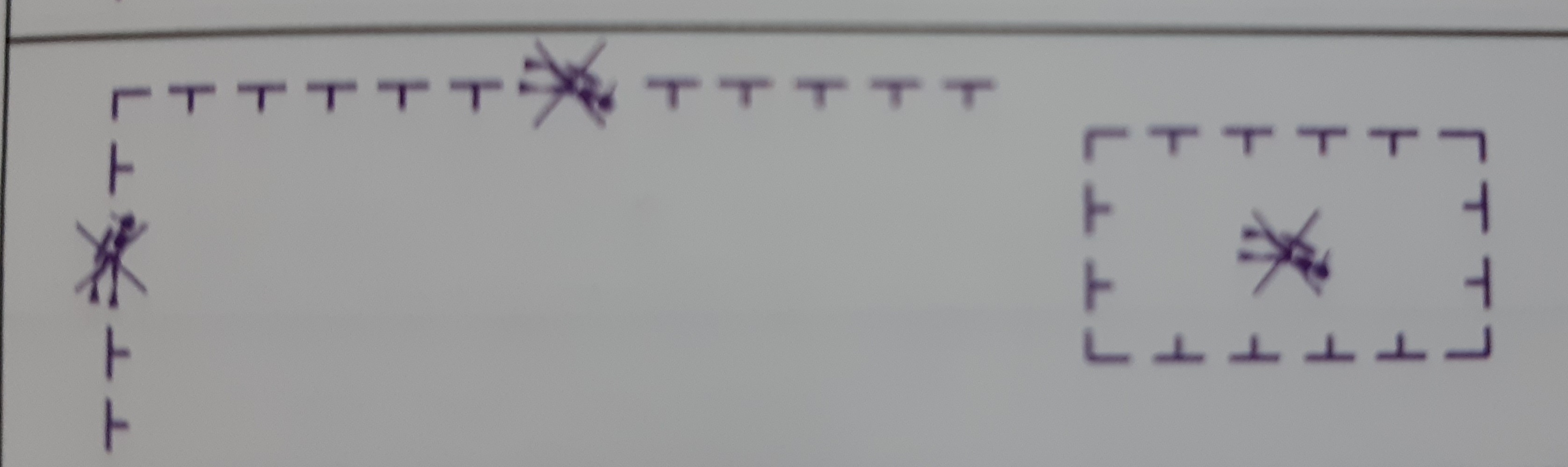
Diving prohibited
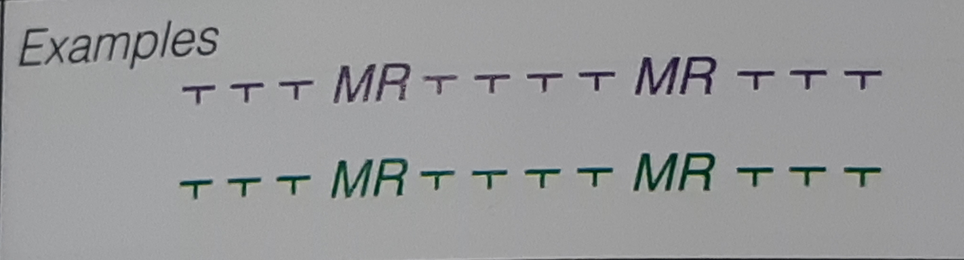
Environmentally Sensitive Sea Areas : (colour may be green or magenta). Limit of marine reserve, national park, non-specific nature reserve
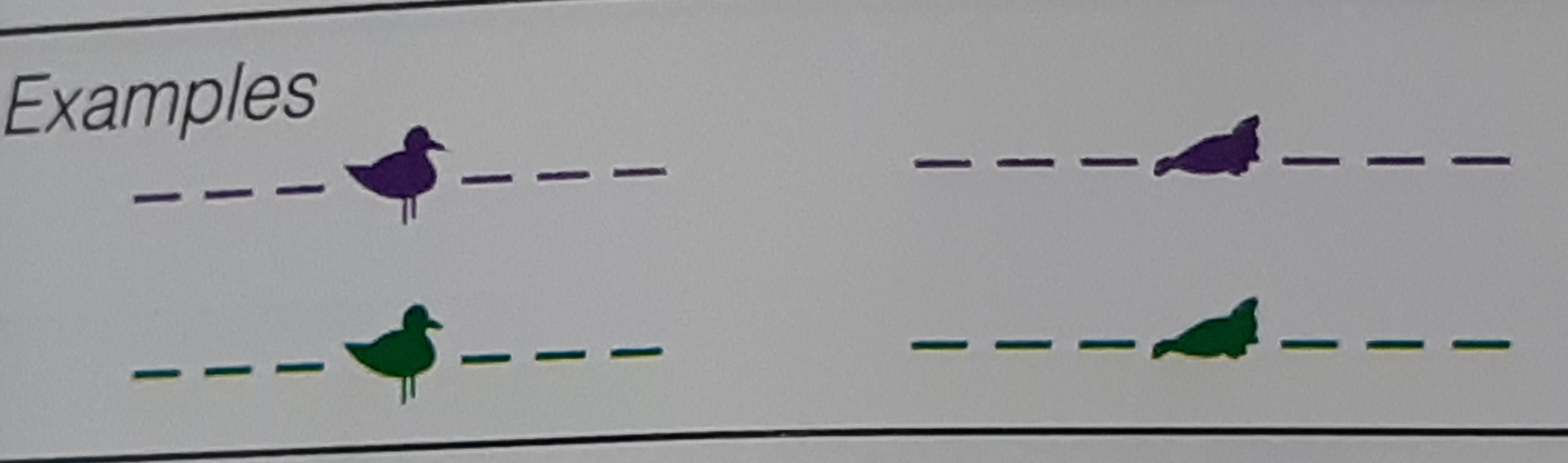
Bird sanctuary, Seal sanctuary (other animal silhouettes may be used for specialized areas)
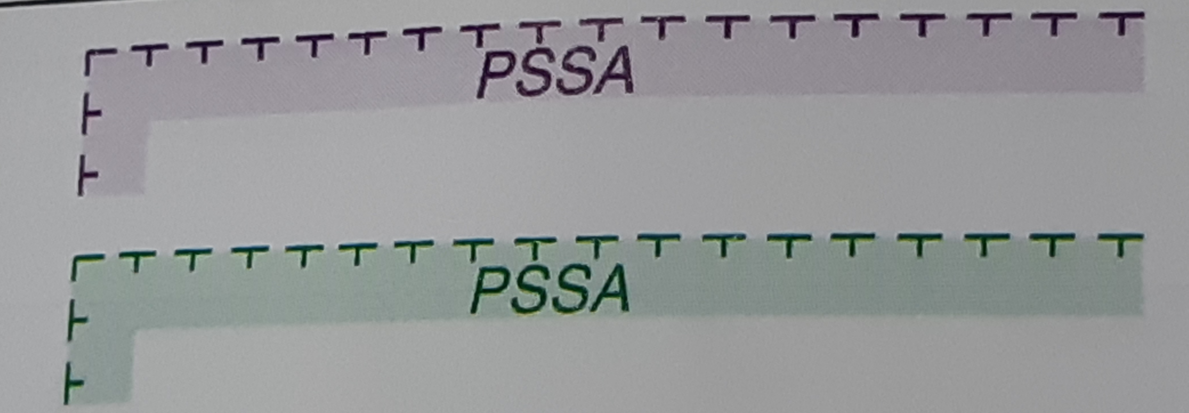
Particularly Sensitive Sea Area (coloured tint band may vary in width between 1 and 5mm)
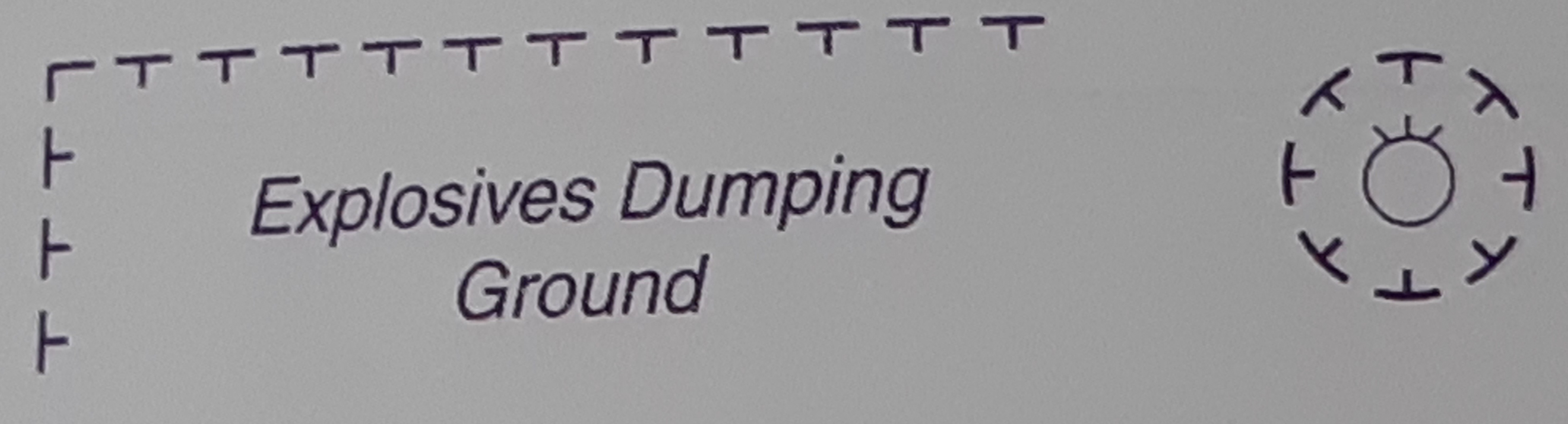
Explosives dumping ground, Individual mine or explosive
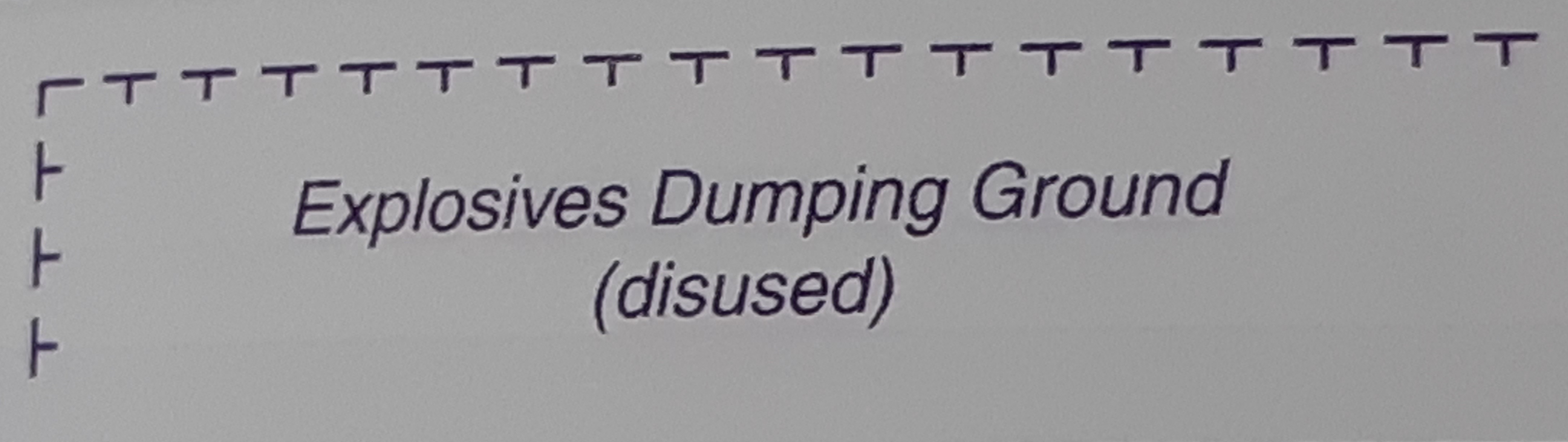
Explosives dumping ground (disused)
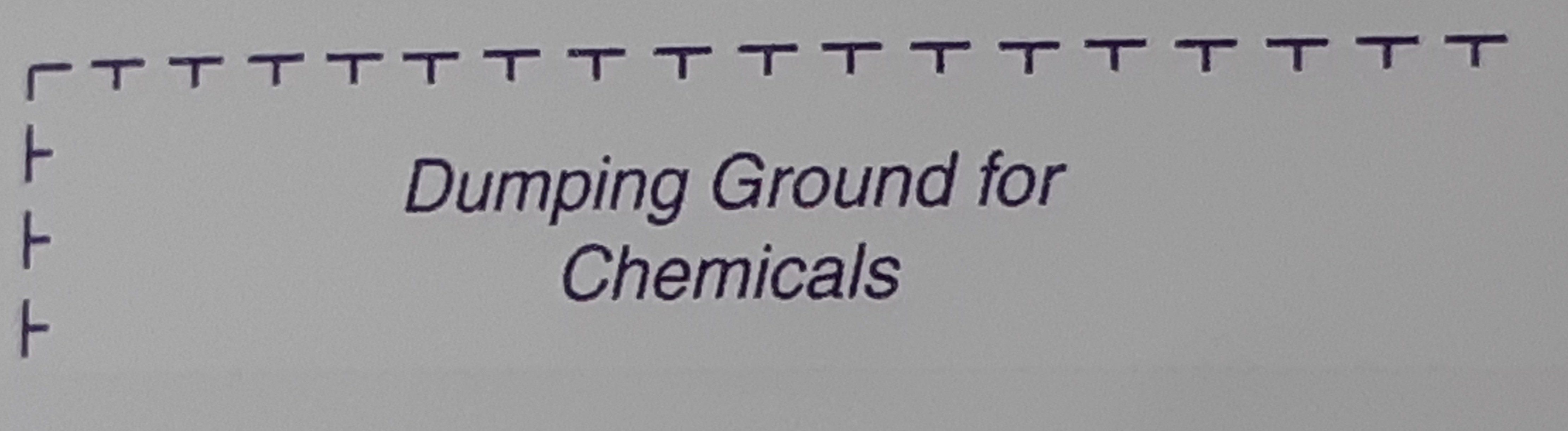
Dumping ground for chemical waste
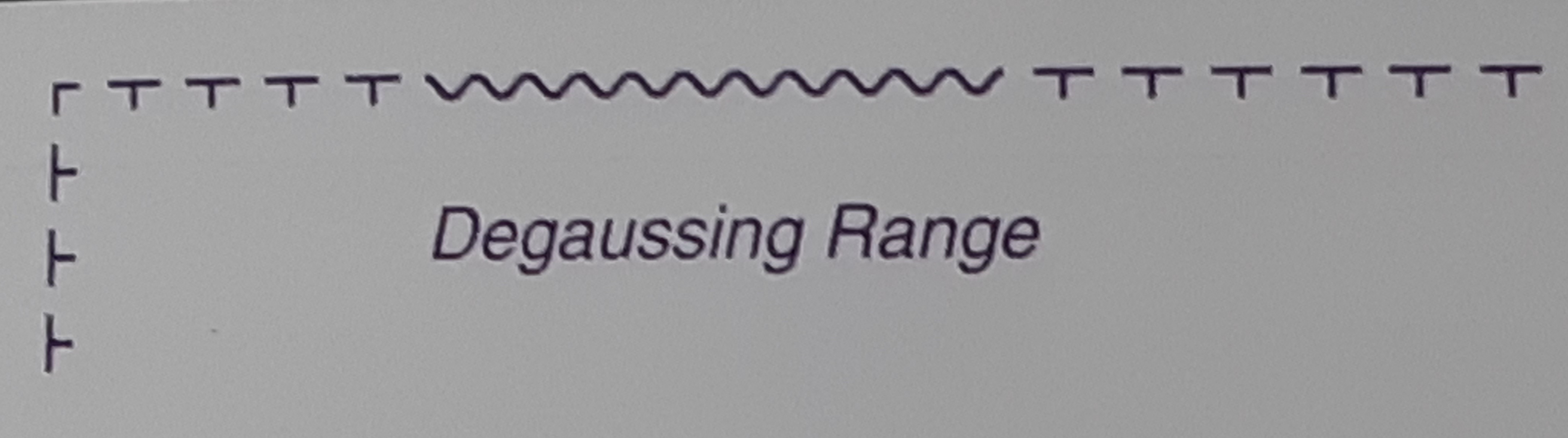
Degaussing range
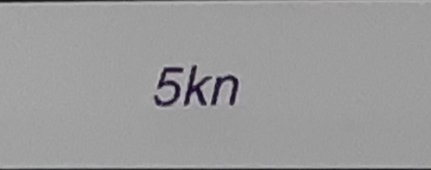
Maximum speed, Speed limit

Firing practice area
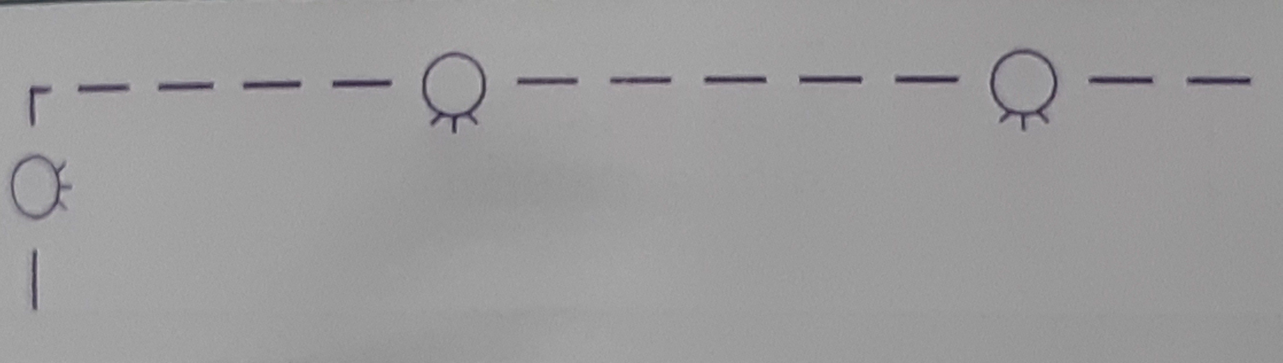
Mine-laying (and counter-measure) practice area
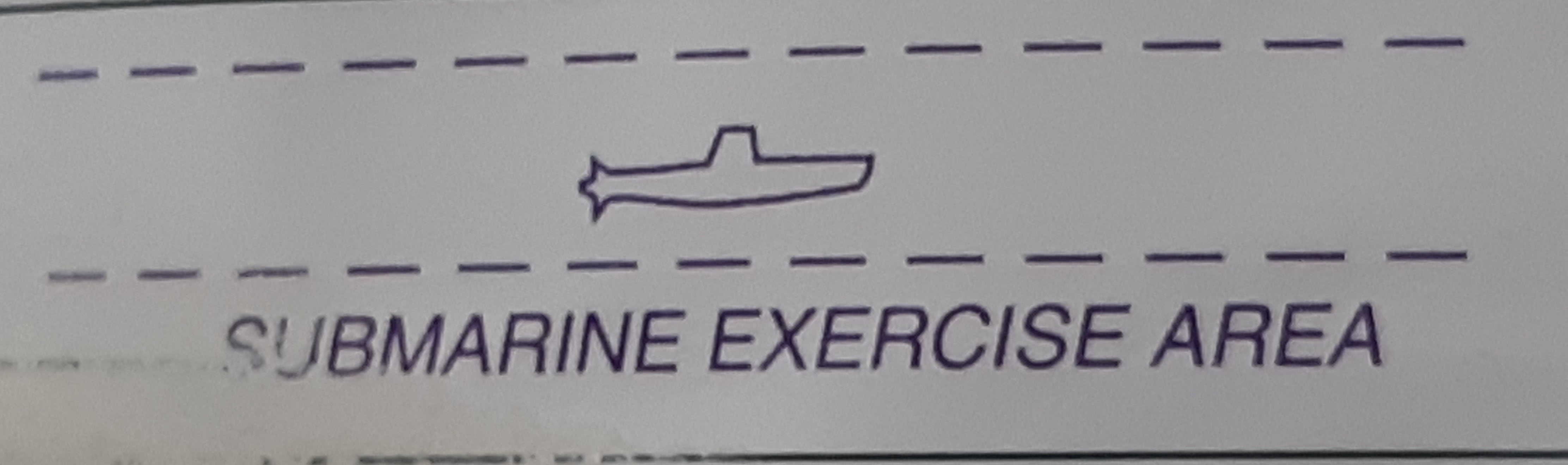
Submarine transit lane and exercise area
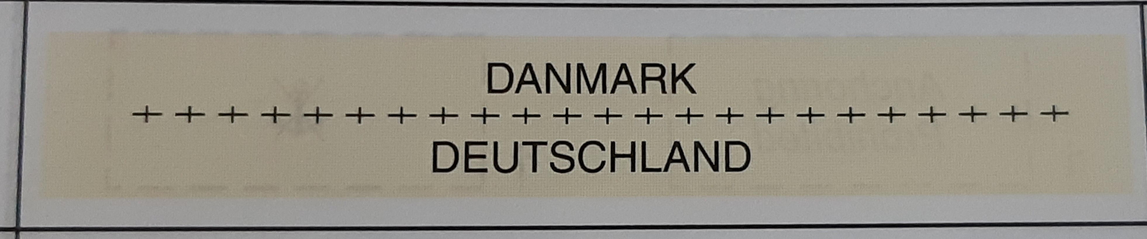
International boundary on land
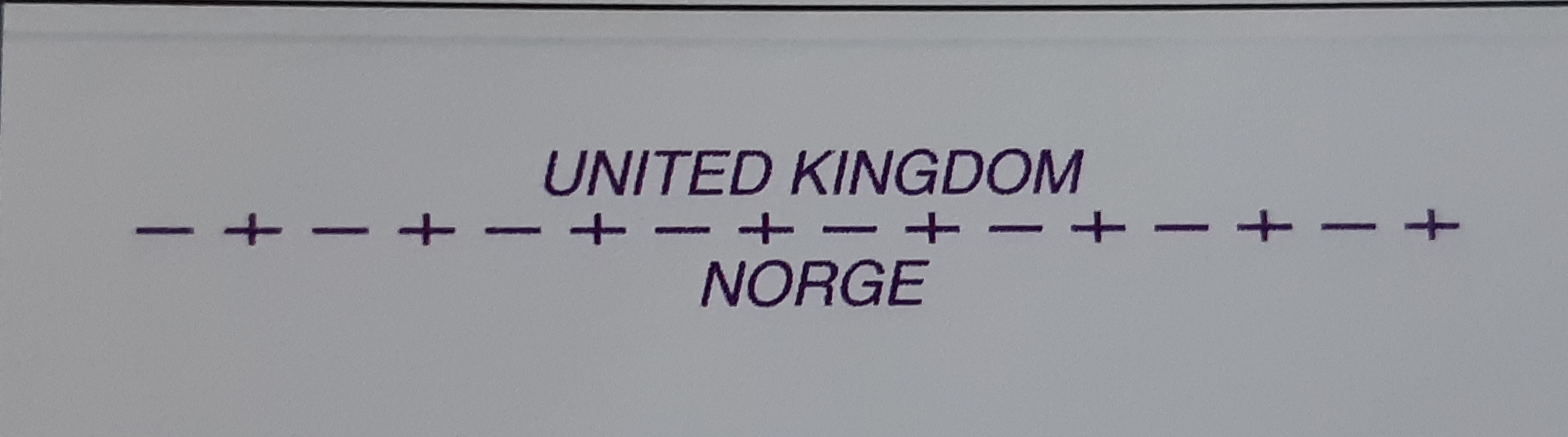
International maritime boundary
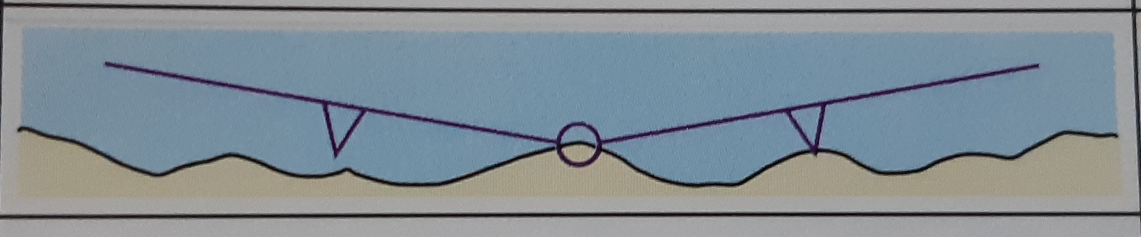
Straight territorial sea baseline with base point

Seaward limit of Territorial Sea
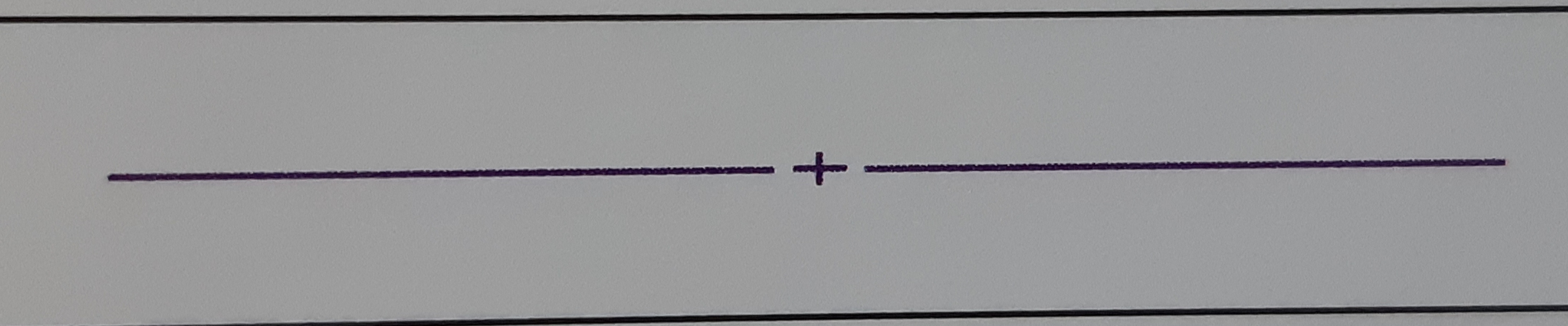
Seaward limit of Contiguous Zone
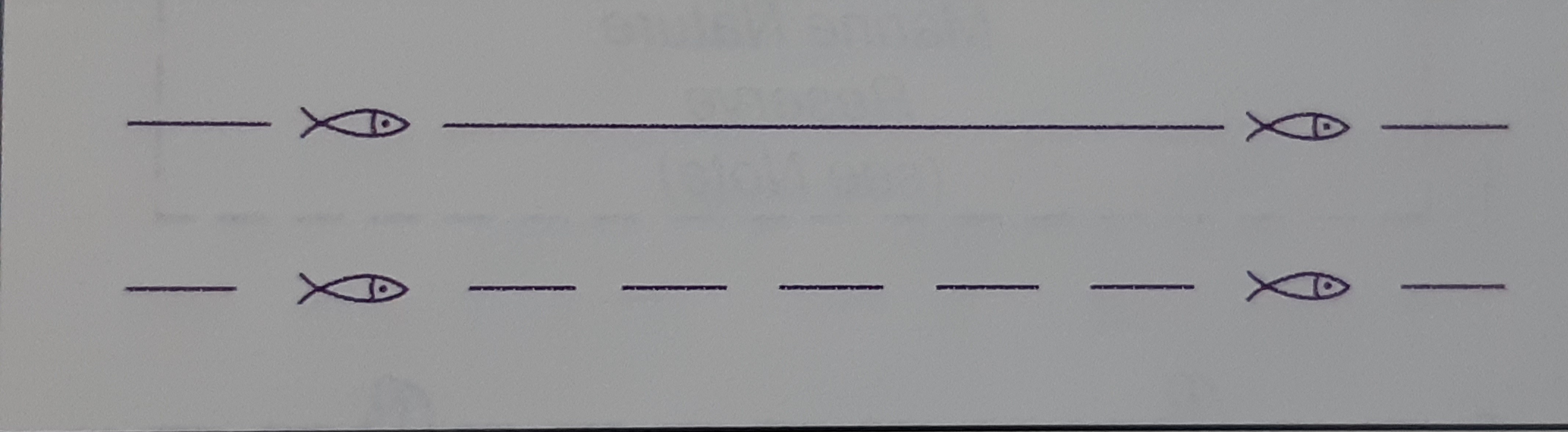
National fishery limits

Limit of Continental Shelf
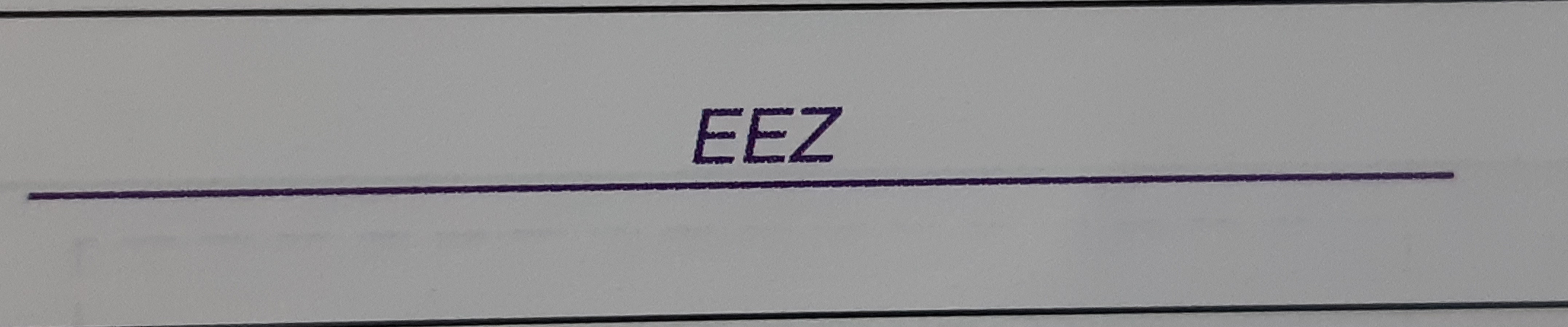
Limit of Exclusive Economic Zone

Customs limit
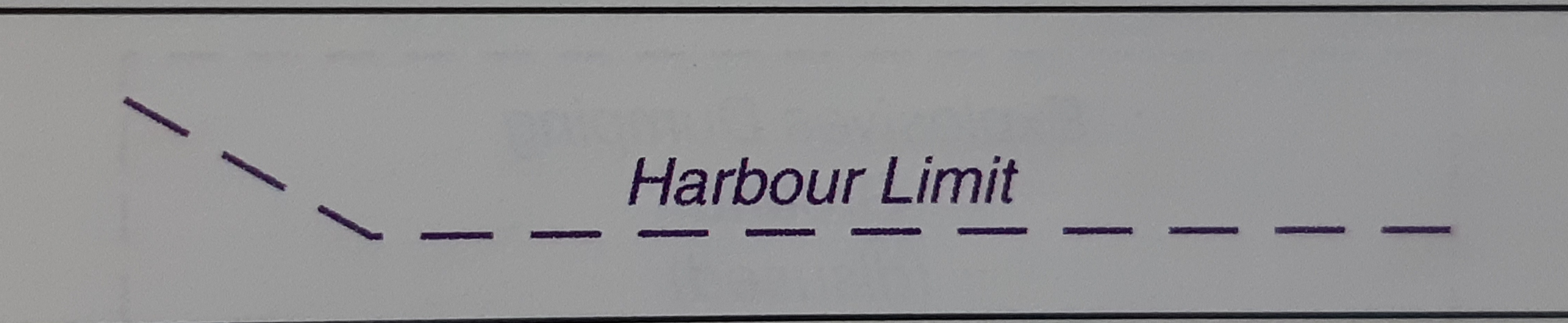
Harbour limit
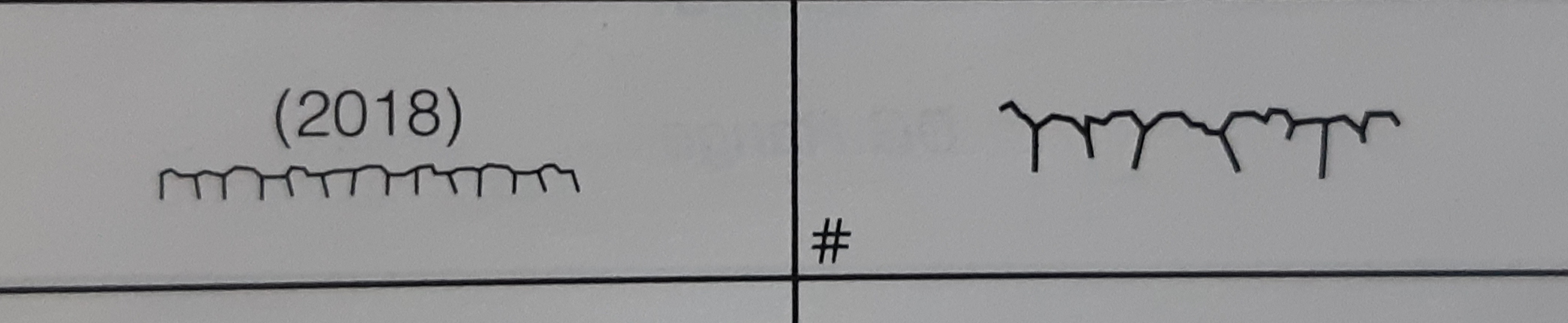
Limit of fast ice, Ice front (with date)
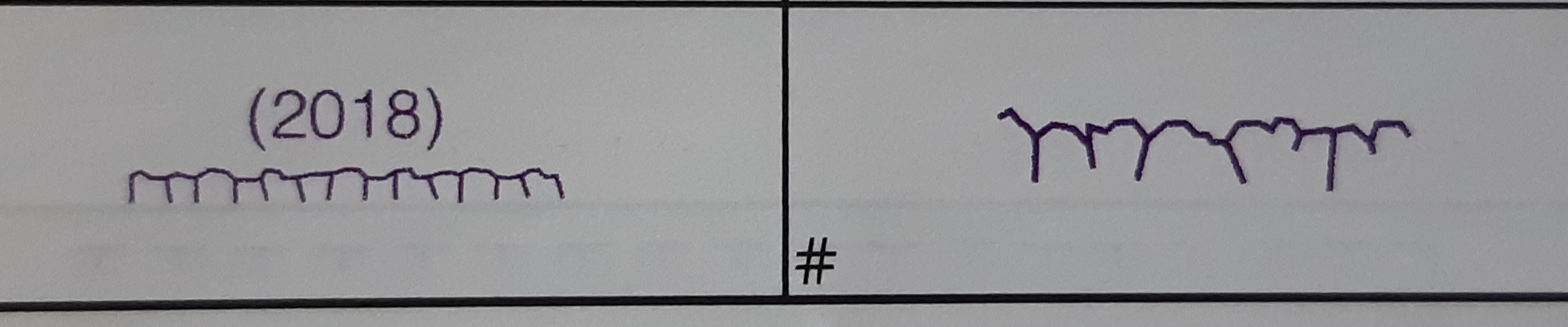
Limit of sea ice (pack ice) seasonal (with date)
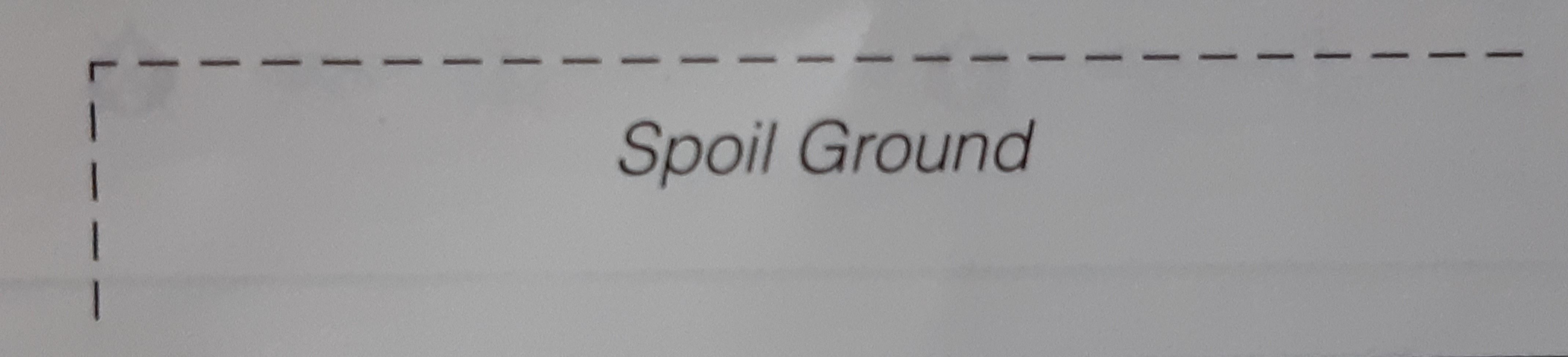
Spoil ground
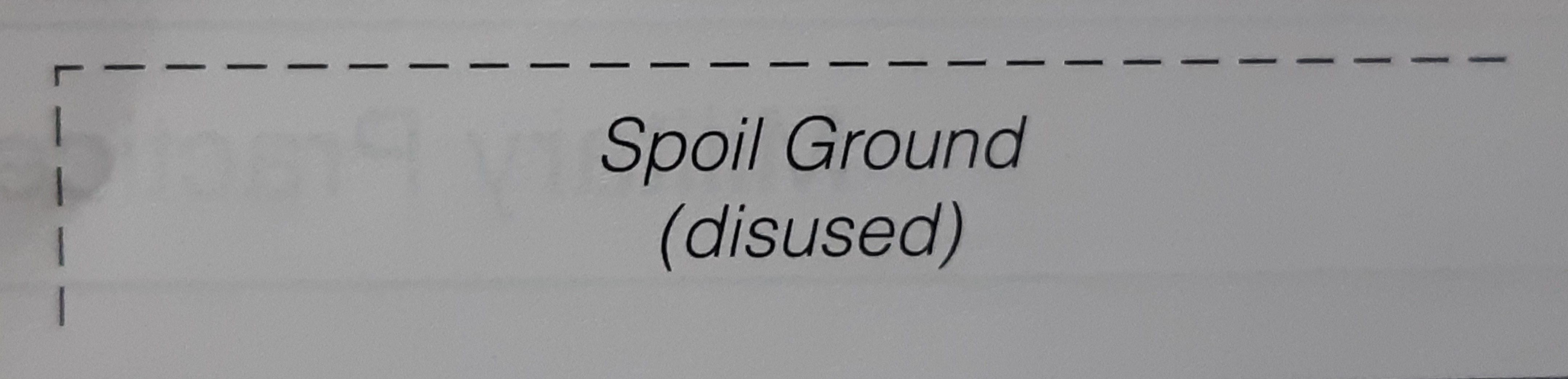
Spoil ground (disused)

Extraction (dredging) area

Cargo transhipment area
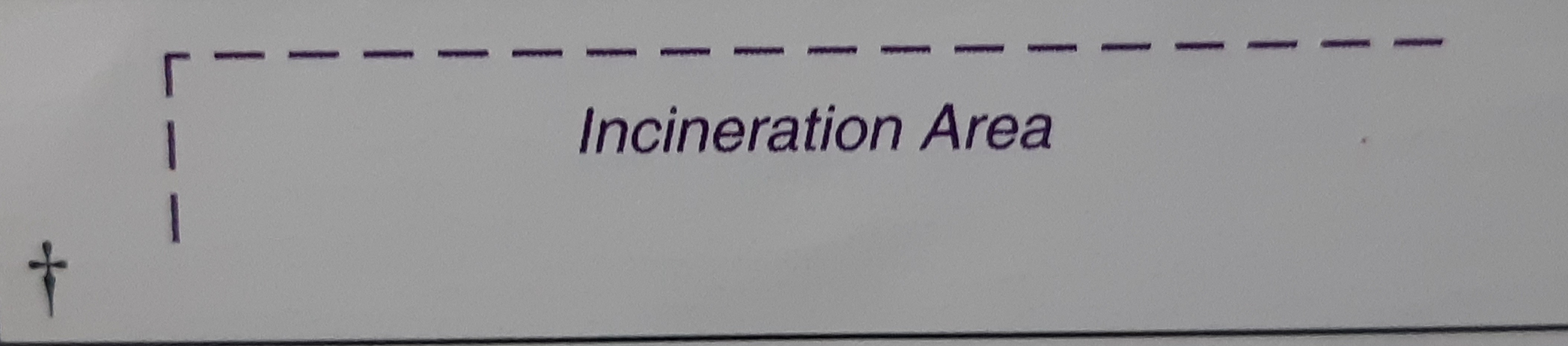
Incineration area
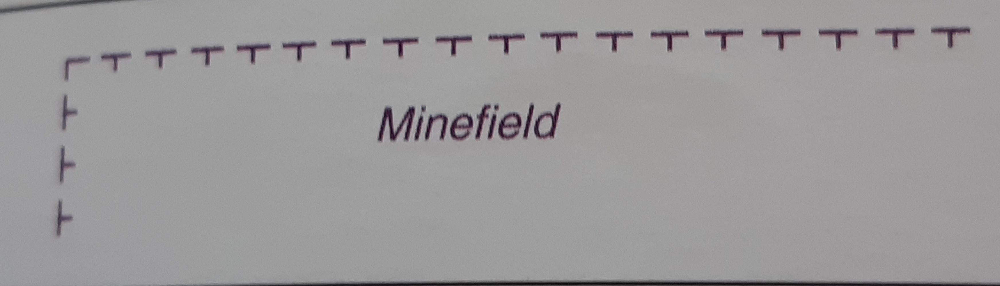
Minefield