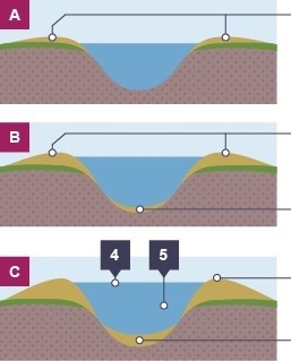
The river Severn (case study)
 Call Kai
 Learn
 Practice Test
 Spaced Repetition
 Match
 Flashcards
 Knowt Play
1/12

There's no tags or description
Looks like no tags are added yet.
13 Terms
Where is the river Severn located ?
In the west of the uk , some parts of Wales
What is the name of the waterfall ?
The Severn breaks its neck
What are the river Severn's major erosional landforms and depositional?
Waterfalls , meanders , oxbow lakes , interlocking Spurs and estuaries
When the Severn reaches its mouth how wide is the Severn?
13km wide
What is the length of the Severn ?
350km
Why is there less flooding in Gloucester?
The river starts to widen and quickly develop into an estuary
Why are floods a threat as the river runs its course ?
They are surrounded by flat land and is 30 metres above sea level so heavy rain easily causes floods as it can burst their banks (land alongside a body of water)
What is the land used for in this deep estuary?
Industries like factories and dock facilities. There are also ports
Why's re some Victorian houses more at risk to the flooding ?
They are built closer to the flood plain near to the river due to rapid urbanisation so there wasn't anywhere else the houses could be built
Where is the source of the river Severn located?
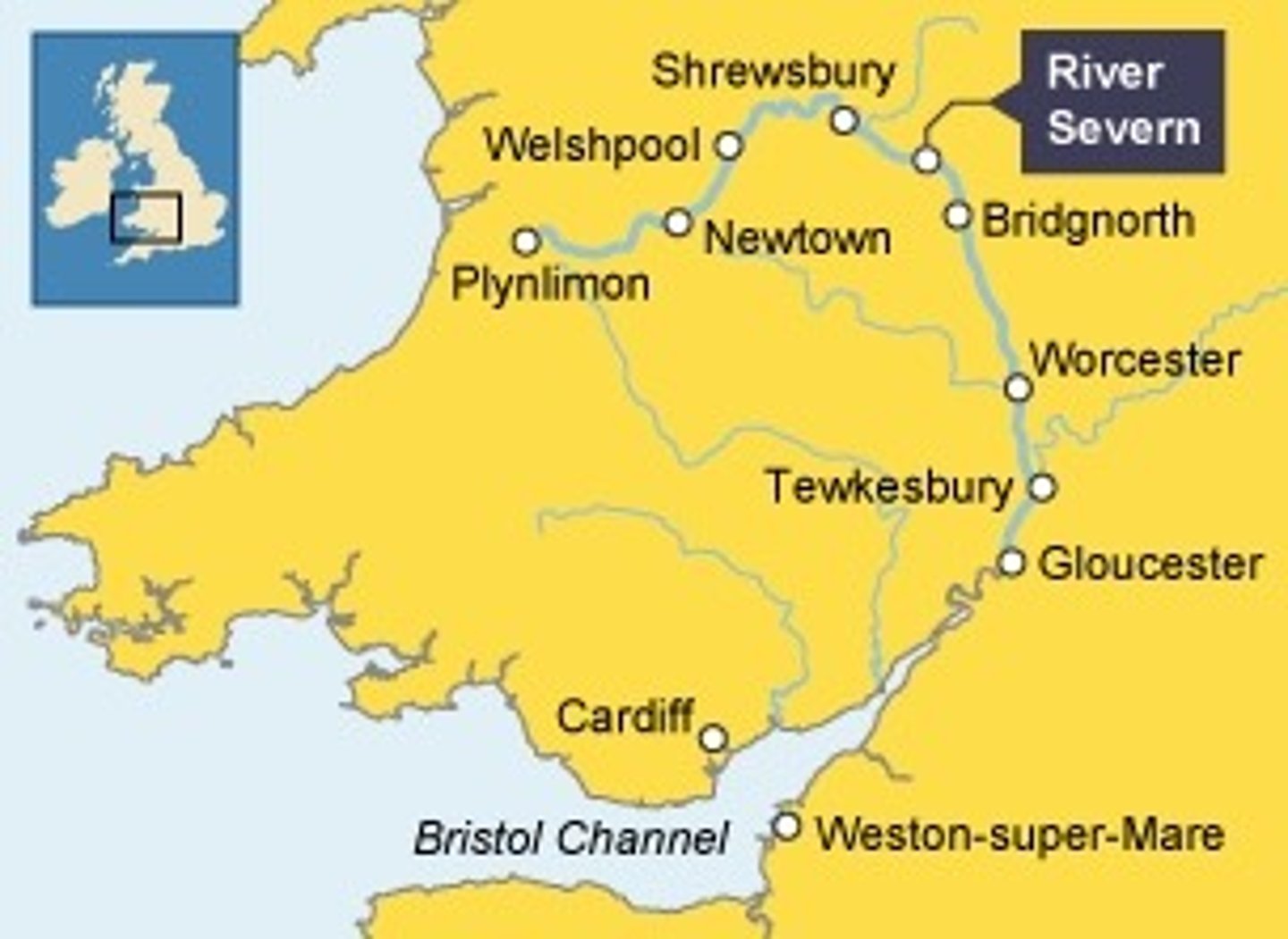
The source of the River Severn is located in the Cambrian Mountains of Mid Wales, and it flows 🎶east and south to its mouth🎶where the river joins the Bristol Channel underneath the Severn Bridges.
What erosional landforms form in the upper course of the Severn ?
The upper course has hard impermeable rocks. Here, vertical erosion has formed a V-shaped valley.The River Severn has many waterfalls in its upper course.
What erosional landforms form in the middle course of the Severn ?
As the River Severn starts to erode sideways (lateral erosion), it forms meanders. These can be identified in the middle course near Kempsey.
What depositional landscapes form
In the lower course of the river Severn ?
Near Tewkesbury, the meanders in the lower course are much larger. In this area there are also levees which have formed when the river has flooded.
The River Severn has a very large mouth with mudflats and sandbanks which support wildlife in the area. Many of the sites are protected areas.