Soils and Waters Exam 3 Review
 Call Kai
 Learn
 Practice Test
 Spaced Repetition
 Match
 Flashcards
 Knowt Play
1/33

There's no tags or description
Looks like no tags are added yet.
34 Terms
Spatial and Temporal Scales
Streams are not stationary as they move substrate everyday and change as they interact with the environment
Stream segment: 50,000 years (1000 m)
Segment system: 500 years (100 m)
Reach system: 50 years (10 m)
Pool/Riffle system: 5 years (1 m)
Microhabitat system: 0.5 year (0.1 m)

Stream Components
Run: Strong velocity with no turbulence, straight area
Riffle: Turbulent flow (surface water has rapids), formed by heavy substrate
Pool: Deep water with low velocity, formed by substrate erosion around bends
Forces that drive stream migration
Erosion
Hydraulic action: Sediment loosened by flowing water
Solution: Geologic material dissolved gradually
Abrasion: Bedrock weather by force of sediment load
Velocity
Slower water can settle sediment faster while fast water erodes in the other direction
Sediment Load
Any substance moved by a stream.
Total Dissolved Solids (TDS): Ions, salts (do not directly impact stream morphology)
Total Suspended Solids (TSS): Silts, clay (build meandering and deep channels)
Bedload: Gravel and sand is pushed at the bottom of a stream (can form riffles and shape the channel bed)
Occurs when flow is at/near bankful
Floodplain functions
Responsible for flood mitigation, storage, sediment deposition, nutrient removal, and habitat
Bankfull functions
Responsible for channel reshaping (occurs ever 1.5 years)
Stream functions
Purify water, flood mitigation, breeding habitat, water supply, power production, groundwater regeration
Human impact on stream functions
Trapping natural sediment from being transported with dams and reservoirs, discharge overloading streams with nutrients, decreasing groundwater recharge with urbanization, stream destabilization and further erosion with agriculture and deforestation
River Continuum Concept
Demonstrates the progression of orders in a stream and the different organisms in these orders as well as food, organic matter, and light penetration
Lake Types
Glacial lake, kettle lake, volcanic lake, rift lake, oxbow lake, and impoundments
Glacial Lake
Depressions filled by meltwater
Great lakes contain 20% of glacial freshwater

Kettle Lakes
Ice buried in the glacial outwash melt from receding and filling the depression

Volcanic Lakes
Rimmed basins formed by subsidence after eruptions
Filled by rain

Rift Lakes
Tectonic activity produces fissures/crevasses that fill with water
Deep, low surface area
Lake Baikal

Oxbow Lakes
Formed by river migration

Impoundment Lakes
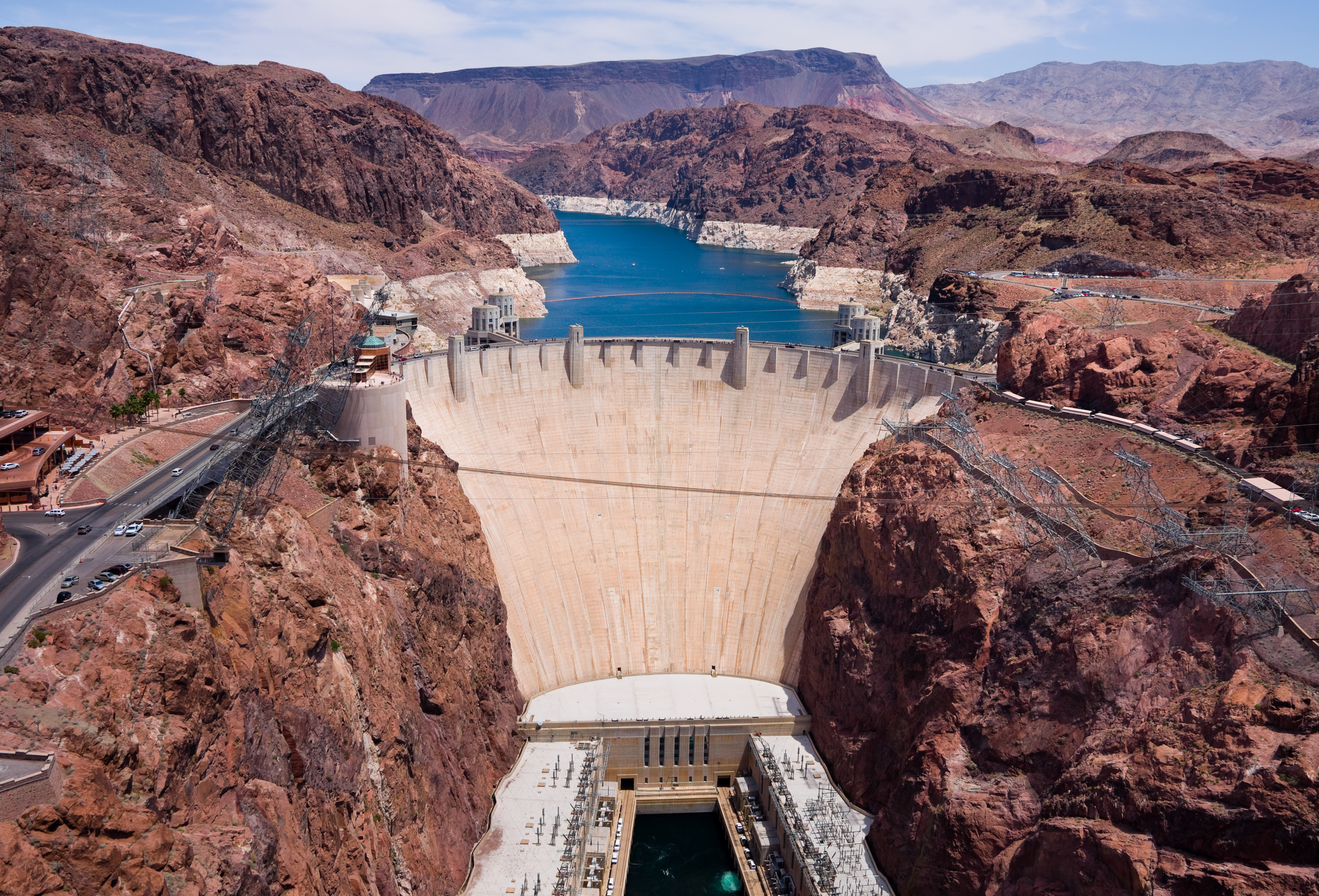
Lakes formed by dams (reservoirs)
Lake Hydrology
Drainage Lake: Surface inflow / outflow
Seepage Lake: Fed by groundwater / precipitation
Lake Trophic Status
Oligotrophic: Low nutrients + primary production = high clarity
Mesotrophic: Moderate nutrients + primary production = clarity
Eutrophic: High nutrients + primary production = low clarity

Lake Zones
Euophotic: Depth to which light penetrates
Littoral: Near shore, sunlight reaches sediments
Limnetic: Deep, open water away from shore
Benthic: Bottom sediments

Lake Layers
Epilimnion: Shallow, low density, goof light penetration (warmer water)
Metalimnion: Rapidly changing temp. that has a variation with depth (thermocline)
Hypolimnion: Deep, high density, little or no light penetration (colder)
Thermocline
Prevents mixing between Epilimnion and Hypolimnion
Stratification
Temperature in deep lakes are dimictic, meaning they have two turnover events per year in the spring and fall which replenishes the water column with O2 which can further impact trophic levels
Oligotrophic: DO remains near saturation
Eutrophic: DO depleted in hypolimnion because of decomposition
Summer: High DO on the surface, lower DO in the deeper waters due to temperature and density
In the fall and spring, DO levels are even (isothermal)

Wetlands
Transitional land between terrestrial and aquatic ecosystems that maintains saturation over 2 consecutive weeks in the last 5 / 9 years
Found in every climate / continent besides Antarctica
Makes up 30% of NA boreal forests
6% of surface area in US

Wetland Properties
Hydric Soils: Formed in low oxygen conditions by repeated wetting
Hydrophytic Vegetation: Water-tolerant plants adapted to growing in low oxygen conditions
Water-Carbon Storage: Slower water movements, groundwater recharge, reduced erosion, and prevention of decomposition
Nutrient removal: Sediment settlement removes P, denitrification removes N (wetland plants can remove both through uptake)
Wetland indicators
Hydrology
Standing water, sediment deposits, saturation, water marks, tree buttresses (expanding trunk)
Hydric Soils
Color < 2, reduced iron (gray), organic matter, hydrogen surface (rotten egg smell), redoximorphic features (changes in aerobic and and anaerobic condition inidcator)
Wetland functions
Wetlands provide biological habitat, structure for breeding nesting, and foraging, nutrients for fish and feeding areas, create plant diversity, safe zones for amphibians
Wetland management in the US
Wetlands have been historically seen as a nuisance and many have been drained
58,500 acres of wetlands lost per year through 1986-1997
Bolstered by urban development, agriculture, silviculture, and rural development
Soil importance
Soil is important because it is a foundation for all life on earth in the way it supports plant growth, soil organisms (habitat), engineering, recycles nutrients, and creates a water supply
Without soil we would not have food, shelter, clothing, water, or medicine
Soil composition
50% solid (45% mineral and 5% organic)
50% pore space
Why is soil organic matter important?
It plays a crucial role in physical, chemical, biological functions
Can automatically improve plant performance and function
Carbon in soil supports plants + atmosphere
Amount of SOM can impact pH, binding, structural stability (roots), water retention, and temperature
Soil texture
Relative particle sizes in mineral fraction expressed as a soil texture
Impacts hydraulic properties and further impacts organism abundance + activity
Sand: 0.02 - 2.0mm
Silt: 0.002 - 0.2 mm
Clay: < 0.002 mm
Soil profile
Layers formed due to the interactions between the soil forming factors
Surface soil differs from parent material because of weathering + organisms
Bedrock: Unweathered parent material
Regolith: Soil profile, everything about bedrock
Solum: Active layers of soil (A, B, E horizons)
Soil horizons
D: Organic matter - cannot develop without it
A (topsoil): Minerals mixed with organic matter (dark brown)
E: Weathered and leached layer (eluvation) (grey-muted/dull)
Dependent on precipitation
B (subsoil): Minimal organic matter, weather minerals + clay + iron (illuviation) (bright colors because of accumulation)
Dependent on leaching from upper horizons
C: partially weather parent material

Soil horizon development
Movement of materials through illuviation and eluviation or plant uptake and erosion, materials (leaves and dead plants) adding to the soil surface, and material weathering