Watersheds, River Systems, and Topography
 Call Kai
 Learn
 Practice Test
 Spaced Repetition
 Match
 Flashcards
1/24

Earn XP
Description and Tags
Vocabulary practice flashcards covering watershed characteristics, river anatomy, wetland types, topographic map reading, and the major watersheds of Virginia and North America.
25 Terms

Watershed
An area of land where all the water passes over, under, or through and collects into the same place, such as a creek, river, lake, bay, or ocean; also referred to as a drainage basin.
Wetlands
A place where the land is covered by water—either salt, fresh, or a mix of both (brackish)—for some or all of the year, including swamps, bogs, and marshes.

Swamp
A warm wetland with lots of trees, characterized as a flooded forest.

Bog
A cool wetland with mostly mosses, peat, and carnivorous plants such as Venus flytraps and pitcher plants.

Marsh
A wetland that is mostly grasses and few trees (a flooded grassland), with the Everglades in Florida being a major example.

River
A large, natural stream of flowing water that flows downstream thanks to gravity.

Source (Headwater)
The place where a river begins, usually located in the mountains or at a high elevation.

Tributary
A river or stream that flows into and contributes water to a larger river, stream, or lake.

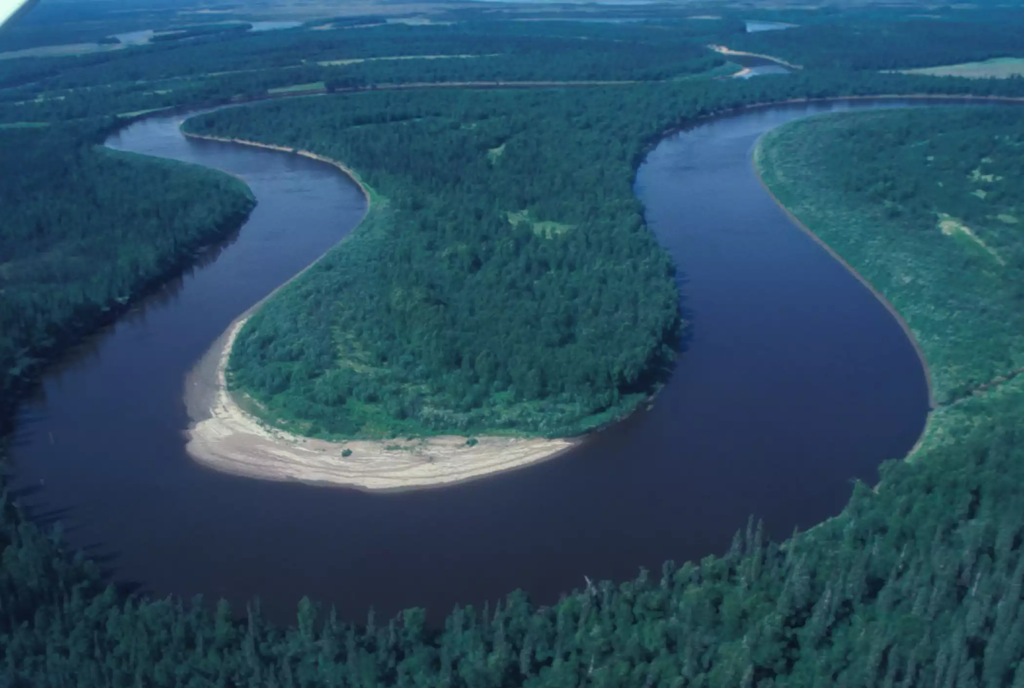
Meander
A curve or bend in a river; comes from the word meaning to wander.
Confluence
The point where two rivers or bodies of water meet and join together.

Floodplain
A flat, low-lying area near a body of water that floods when the water rises.

Mouth
The location where a river drains into a larger body of water, such as a lake, sea, or ocean.

Delta
An area near the mouth of a river where sediment is dropped by the slowing river water, often forming a triangle shape (e.g., the Mississippi River and Nile River deltas).

Estuary
A semi-protected area where freshwater rivers meet saltwater; known as the "Nursery of the Sea" because baby sea animals spend time growing there before heading out into the open ocean.

Divide
An area of high elevation that separates (or divides) different watersheds or drainage basins.

Oxbow Lake
A lake formed from a river meander that gets cut off by deposited sediment, leaving it unattached to the river.

Topography
The study of the shape of the land.

Contour Lines
The lines drawn on a topographic map that show different elevations.

Contour Index Lines
Highlighted, labeled contour lines that help determine the height above sea level on a topographic map.

Elevation
The height of land above sea level.

Contour Interval
The distance between each contour line; calculated by subtracting two contour index lines and dividing the difference by the number of spaces between those lines.

Benefits of Wetlands
Three vital ecological roles: providing habitat for animals, offering flood control, and acting as a filter for pollution.

Chesapeake Bay Watershed
The largest watershed in Virginia and the largest estuary in North America, encompassing Loudoun County and including 6 states: New York, Pennsylvania, Maryland, Delaware, West Virginia, and Virginia.

Mississippi River Watershed
The largest watershed in North America and the 4th largest watershed in the world, draining directly into the Gulf of Mexico.

Major Watersheds of Virginia
The three primary drainage systems in Virginia: the Chesapeake Bay Watershed, the North Carolina Sounds Watershed, and the Gulf of Mexico Watershed.
