AP HuG Unit 1 Test
 Multiple Choice & FRQ
 Call Kai
1/40

Earn XP
Description and Tags
Name | Mastery | Learn | Test | Matching | Spaced | Call with Kai | Chat |
|---|
No analytics yet
Send a link to your students to track their progress
41 Terms
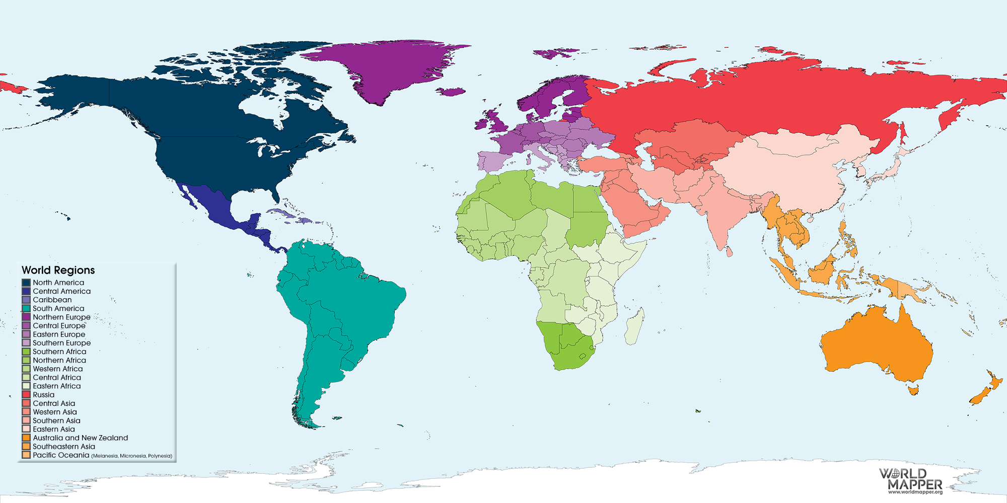
Reference Map
Maps designed for people to refer to for general information about places.
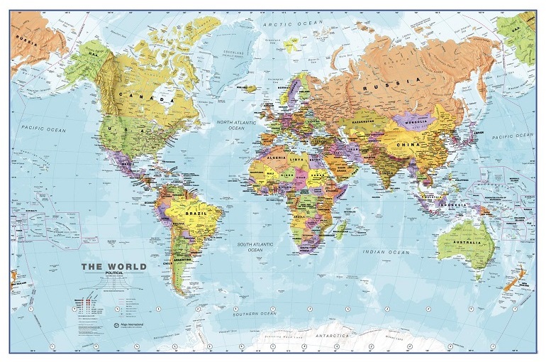
Political Maps
Maps that show and label human-created boundaries and designations, such as countries, states, cities, and capitals.
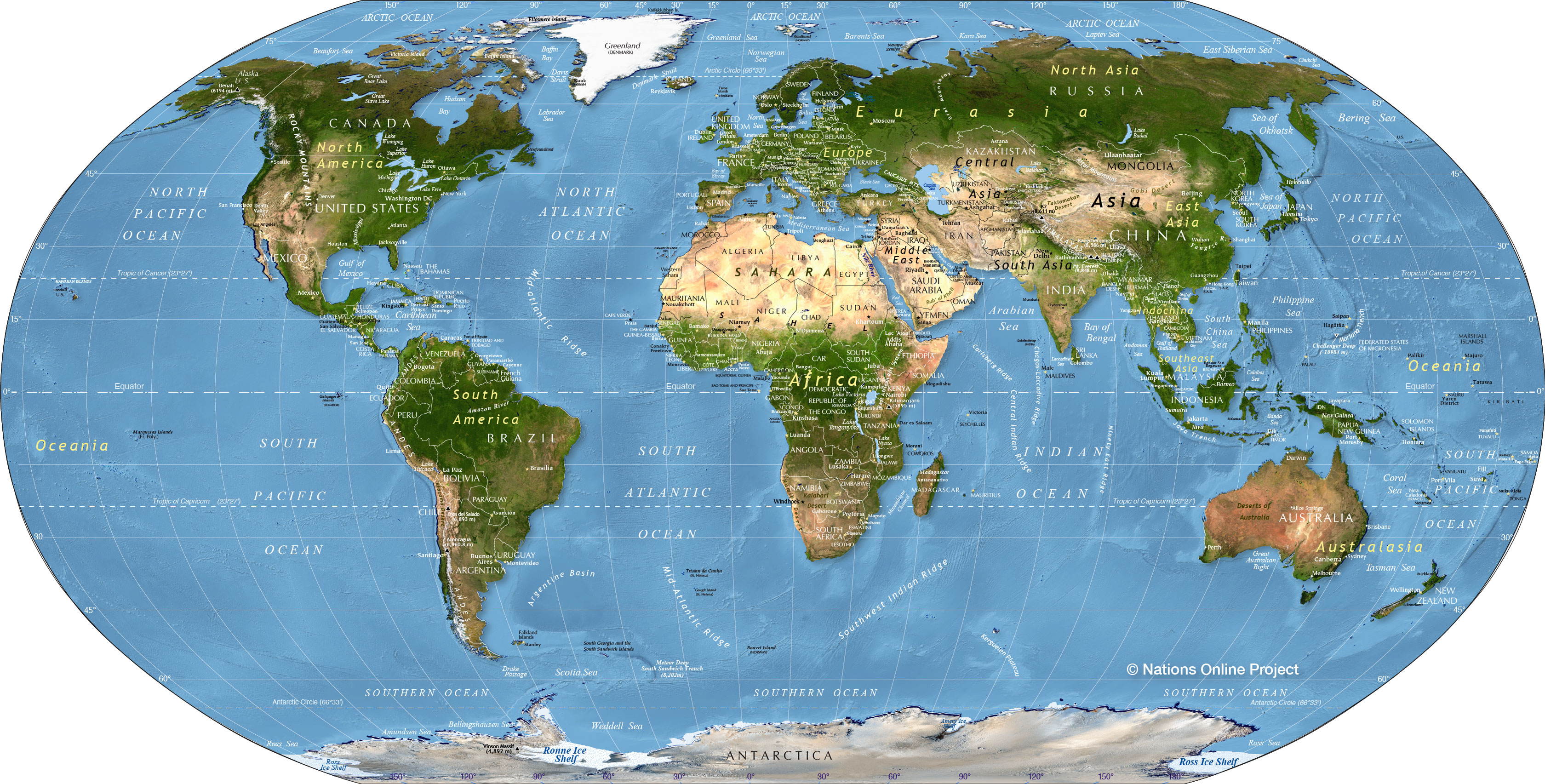
Physical
Maps that show and label natural features, such as mountains, river, and deserts.
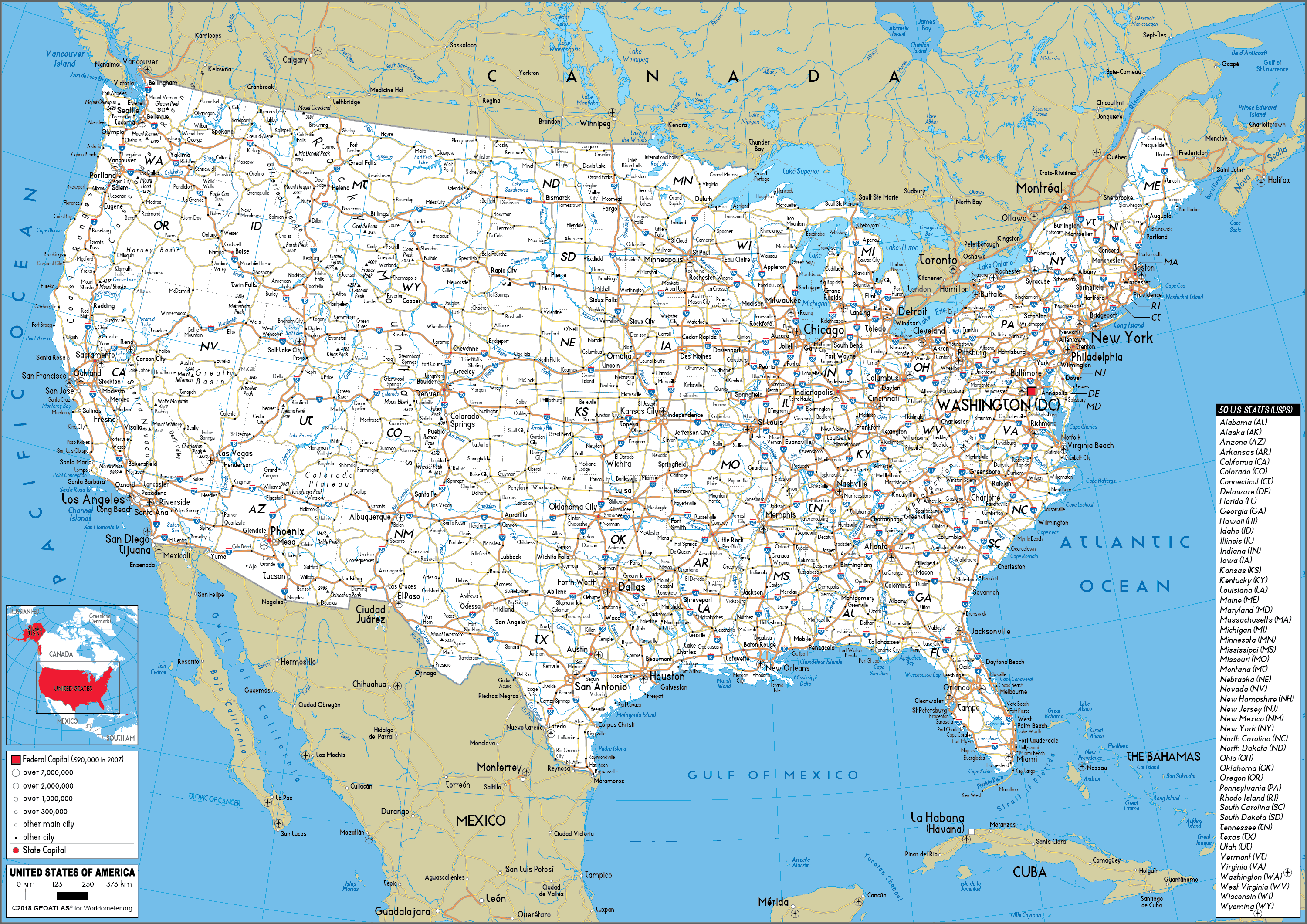
Road Map
Show and label highways, streets, and alleys.
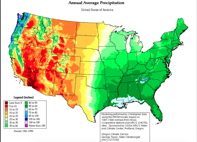
Thematic Maps
Show spatial aspects of information or of a phenomena.
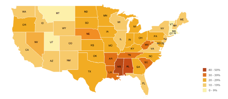
Choropleth
Maps that use various colors, shades of one color, or patterns to show the location and the distribution of spatial data.
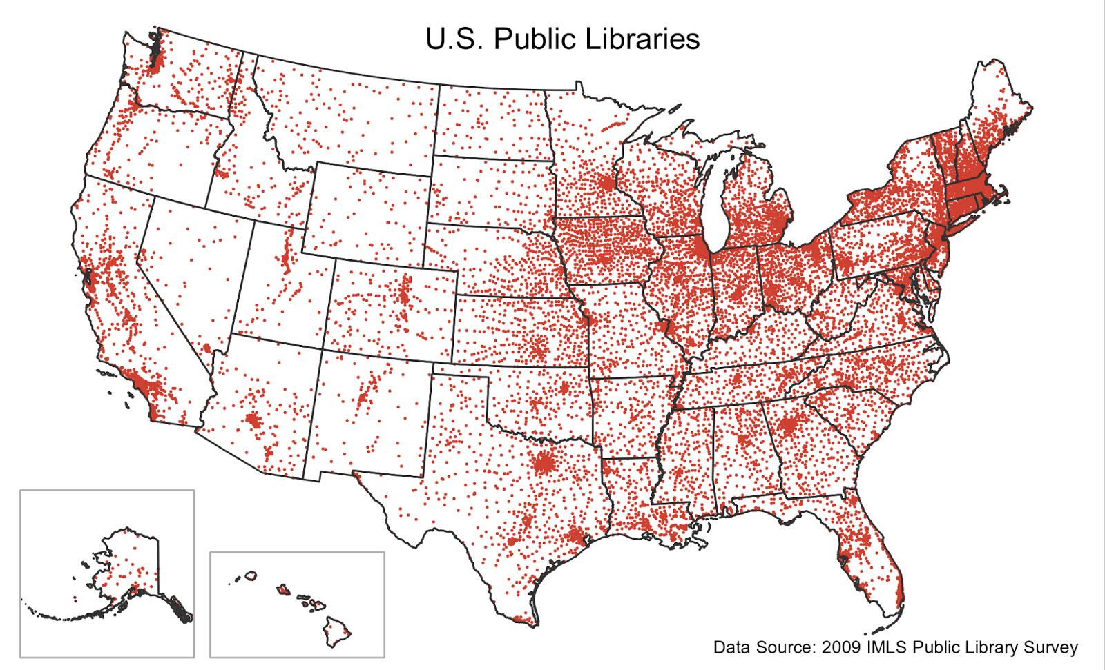
Dot Distribution Map
Maps used to show the specific location and distribution of something across a map. Each dot represents a specified quantity.
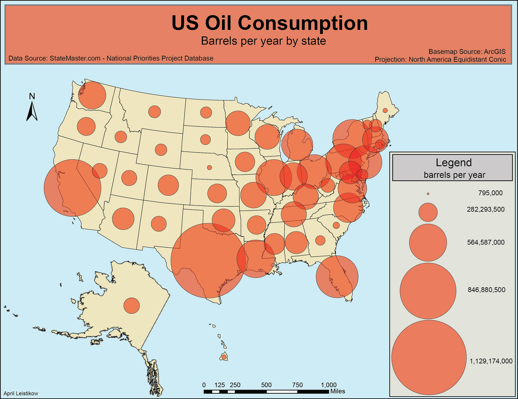
Graduated Symbol Map (Proportional Symbol Map)
Symbols of DIFFERENT sizes are used to indicated different amounts of a statistic.
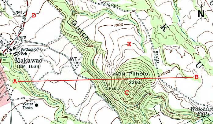
Isoline Map
Lines that connect points of equal value to depict variations in the data across space.
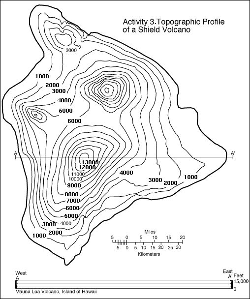
Topographic Maps
A type of isoline map; Lines connect points of equal value to depict variations in the data across space.

Cartogram
The sizes of countries are shown according to some specific standard.
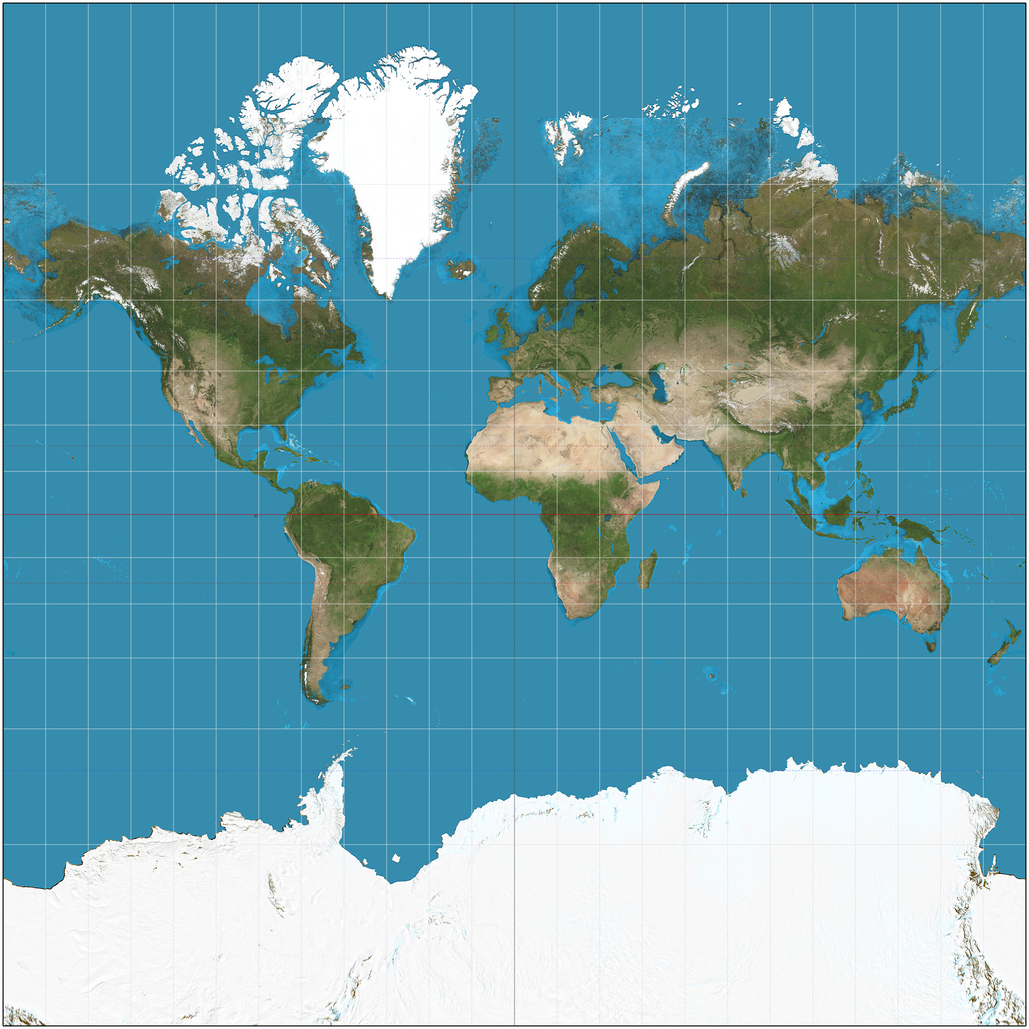
Mercator
Pros: Directions are Shown Accurately, Lines of latitude and longitude meet at right angles
Cons: Distance between lines of longitude appear constant, Land masses near the poles are distorted to appear large

Peters Equal Area
Pros: Sizes of Land masses are accurate
Cons: Shapes are inaccurate, especially near the poles.

Conic
Pros: Lines of longitude converge, Lines of latitude are curved, Size and Shape are both close to reality
Cons: Direction is not constant, On a world map, longitude lines converge at only one pole

Robinson
Pros: No major distortions, Oval shape appears more like a glove than does a rectangle
Cons: Area, Shape, Size, and Direction are all slightly distorted
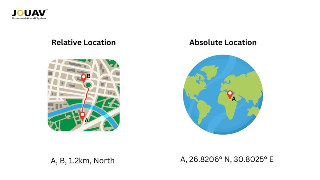
Absolute Location
The location of something in order of a system. (I. e.) Latitude and Longitude, Addresses.

Relative Location
The location of something relative to other things.
Absolute Distance
Distance measure in terms of a system.
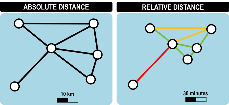
Relative Distance
The degree of nearness based on time or money which is often dependent on the mode of travel.

Clustered
Phenomenon arranged close together.

Dispersed
Phenomenon arranged far apart.

Fieldwork
The process of visiting a location in person to observe, record, and collect firsthand data on how humans interact with and shape their environments.
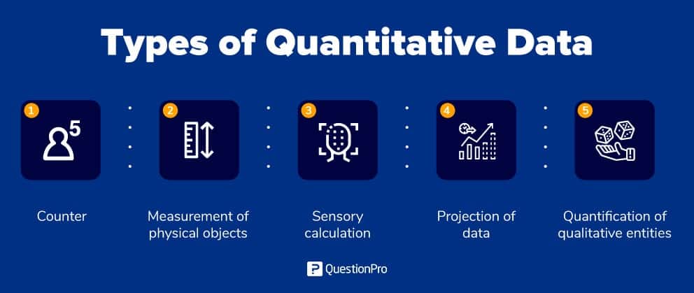
Quantitative Data
Data that is represented in numbers. It can be compared numerically.
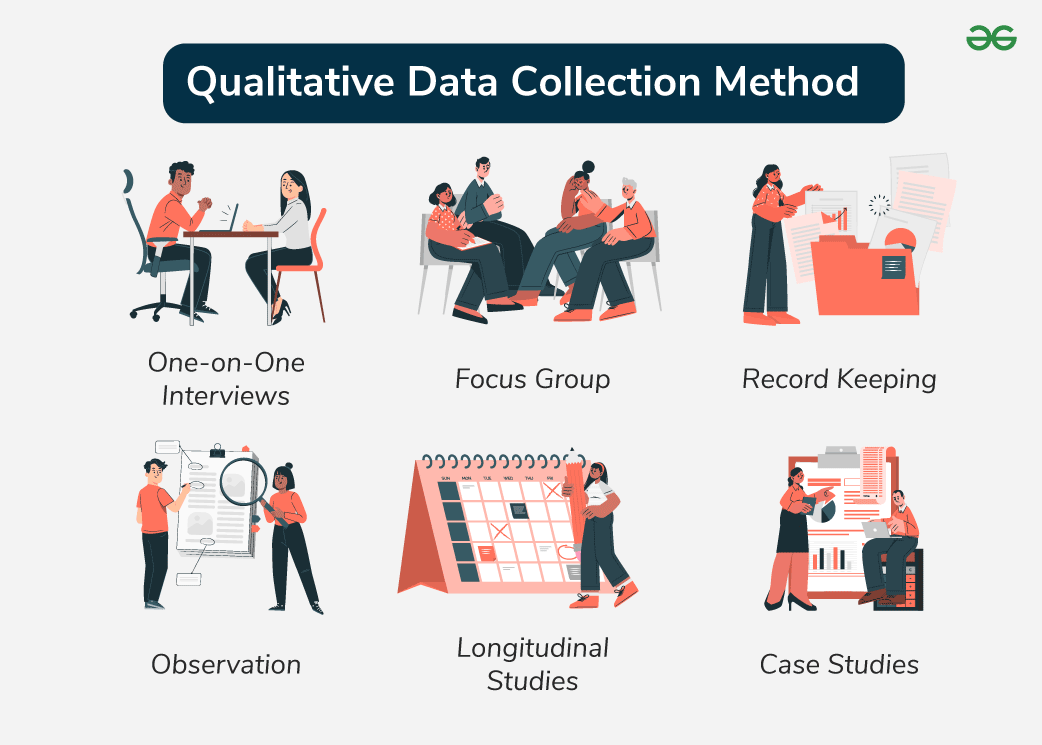
Qualitative Data
It has qualities. Things like photographs, interviews, sketches, and firsthand accounts are all qualitative data.

Census
An official, systematic count and survey of a population to gather demographic, social, and economic details. In the US it is taken every 10 years. It is used to distribute funding and determine political districts.

Global Positioning System (GPS)
Receivers on the earth’s surface use the locations of multiple satellites to determine and record a receiver’s exact location.

Geographic Information System (GIS)
System that can store, analyze, and display information from multiple digital maps or geospatial data sets. Layering data map sets.
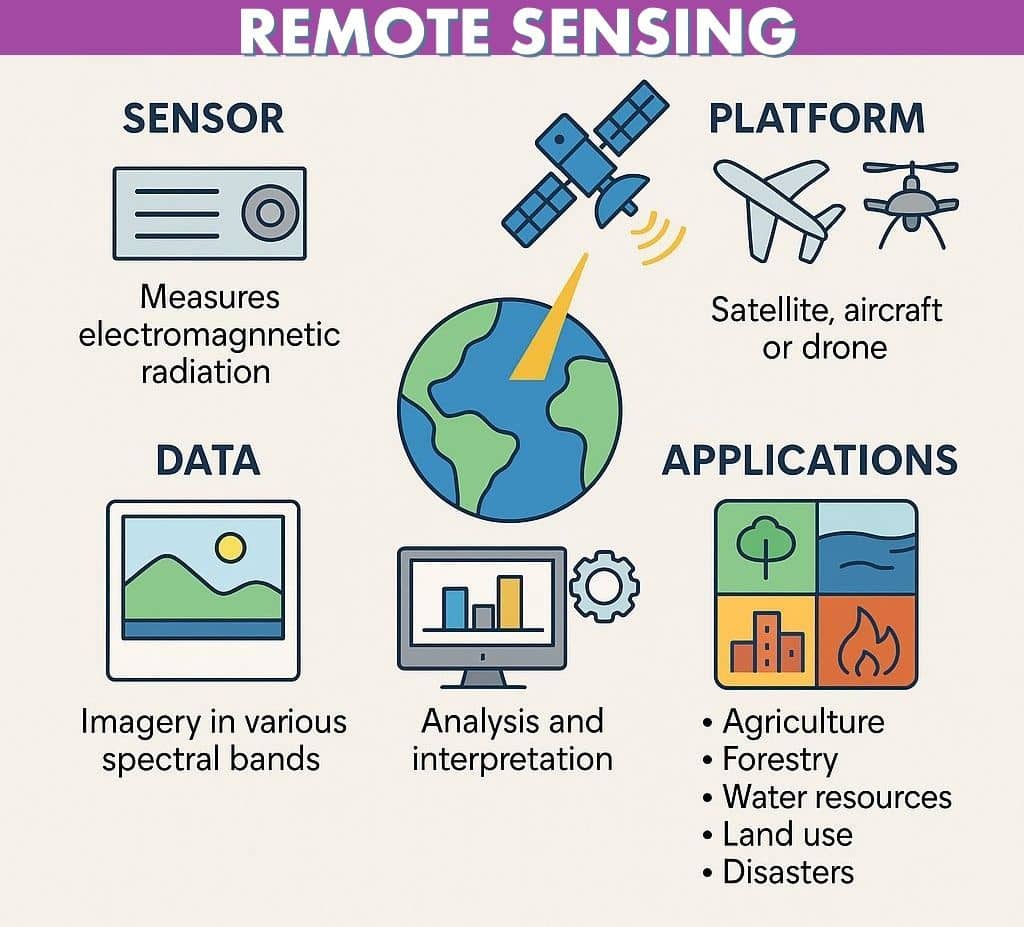
Remote Sensing
Gathers information from satellites that orbit the earth or other craft above the atmosphere.
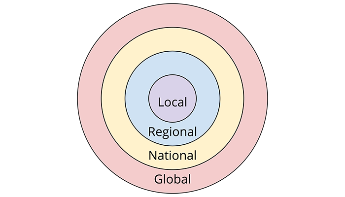
Scale of Analysis
The level or size at which data is grouped and studied. What you are comparing.
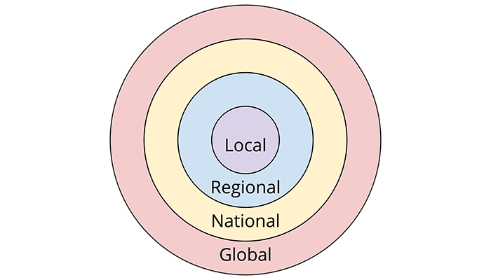
Geographic Scale
The level or size at which you are viewing the data. What scale are you looking at.

Environmental Determinism
Landforms and climate are the most powerful forces shaping human behavior and societal development while ignoring the influence of culture. Ex. The Nile and Ancient Egyptians
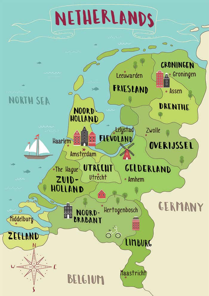
Possibilism
A view that acknowledges limits on the effects of the natural environment and focuses more on the role that human culture plays. Ex. The Netherlands
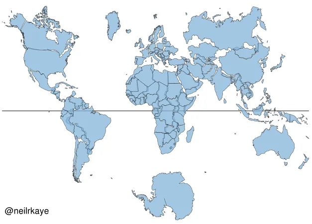
Global Scale
The whole world.
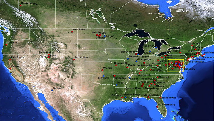
National/State Scale
The countries.

Substate Scale
States with in a country.
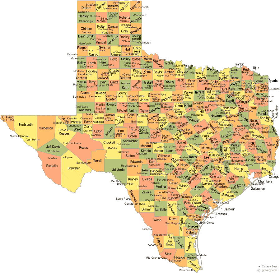
County Scale
Counties within a substate.
Local Scale
Can be cities, neighborhoods, or towns.
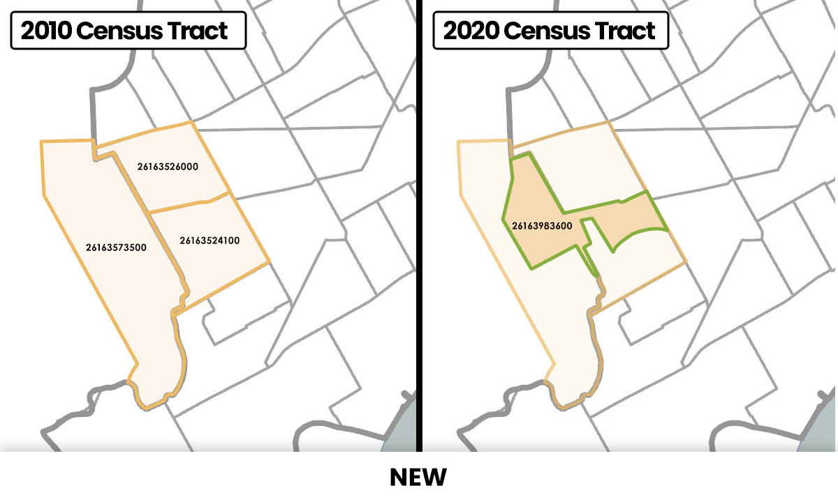
Census Tract Scale
A small, relatively permanent geographic region defined by the U.S. Census Bureau to track and analyze population statistics.
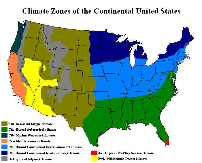
Formal Region (Uniform Region)
Regions united by one or more common traits.
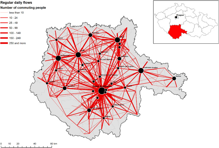
Functional Region (Nodal Region)
Regions that are organized around a focal point and are defined by an activity, usually political, social, or economic, that occurs across the region. United by networks of communication, transportation, and other interactions.

Perceptual Region (Vernacular Region)
Defined by the informal sense of place that people ascribe to them. These regions exist, but their exact boundaries depend on the person you talk to.