Hist 87 Map Quiz
 Call Kai
 Learn
 Practice Test
 Spaced Repetition
 Match
 Flashcards
 Knowt Play
1/12

There's no tags or description
Looks like no tags are added yet.
13 Terms

1941 … Map of the Greater East Asia Co-Prosperity Sphere, 1941. A map that represents the incorporation of colonies into Japanese territory without visible differentiation between “colonized” and “Japanese” territory.

1918 … Map of Shanghai, 1918. Source: Virtual Shanghai. A map that represents the division of urban life into spaces of colonizers and spaces of the colonized, and the liminal place of Japan within that order.
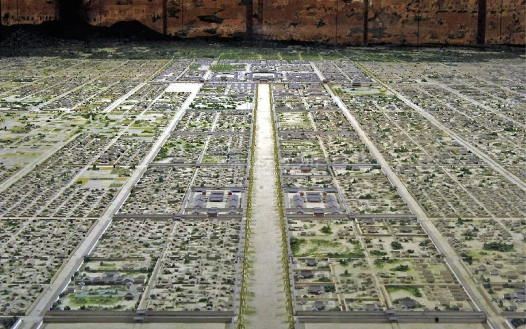
Heian Period … Reconstruction of Heian-kyō at Heian-kyō Reconstruction Museum (Historical period for quiz purposes: “Heian Period”) A spatial layout that reflected prevailing views about the role of government in creating an order on earth that mimicked the order of the heavens.
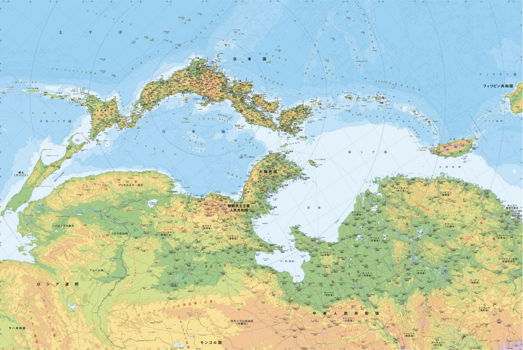
Nara Period … Amino Yoshihiko's Map of Ancient Japan, off the coast of China (Historical period for quiz purposes: “Nara Period” A way of thinking about Japanese geography that emphasizes contact and exchange with the Asian continent.

Heian Period … The Diamond World Mandala. Photograph of painted scroll (c. 900) at at Tōji (Eastern Temple) in Kyoto, Japan. (Historical period for quiz purposes: “Heian Period.”) Example of how political and spiritual leaders used cosmological knowledge to create outcomes in the natural world. (Shared with “Womb World Mandala.”)
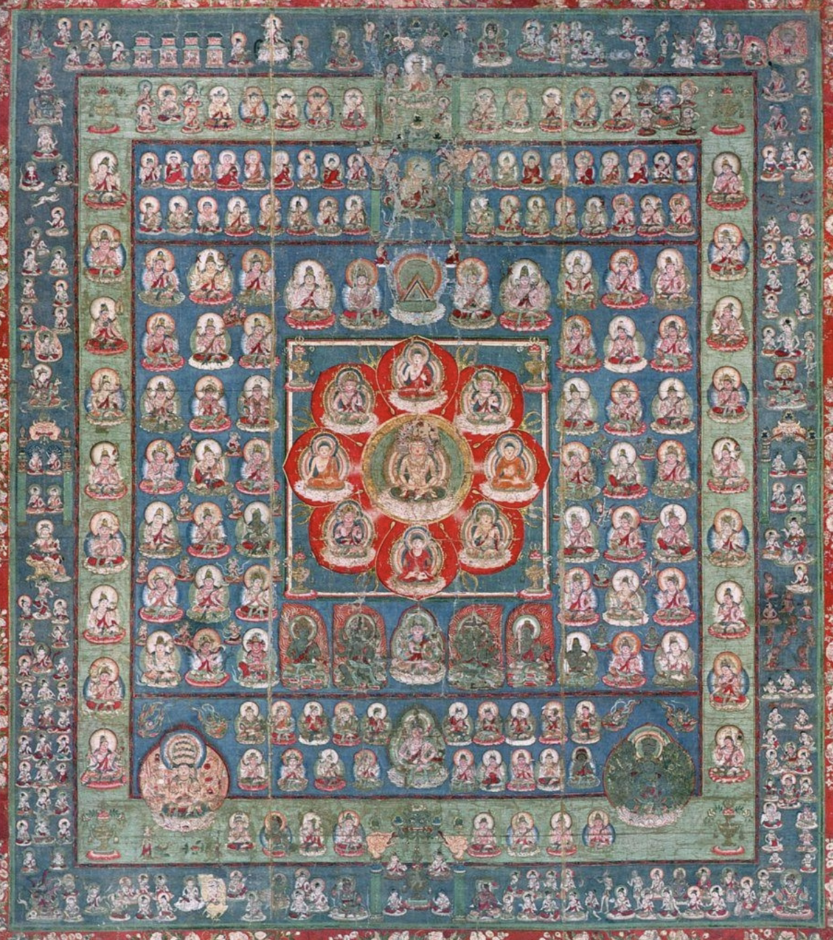
Heian Period … The Womb World Mandala. Photograph of painted scroll (c. 900) at Tōji (Eastern Temple) in Kyoto, Japan. (Historical period for quiz purposes: “Heian Period.”) Example of how political and spiritual leaders used cosmological knowledge to create outcomes in the natural world. (Shared with “Diamond World Mandala.”)

Map of Edo, 1844 … Map that represents the Shogunate’s understanding of the ideal social order.

1691 … Ishikawa Ryūsen, Nihon kaisan chûrikuzu (Map of the Seas, Mountains, and Lands of Japan) (1691). Courtesy of Meiji University Library. A map that shows the significance of domains, castles and highway post stations to the social order of the period.

1604 Japanese copy of Matteo Ricci’s 1602 Mappa Mundi

Muromachi Period … A map of the “three realms” (sangoku). Late 16th-century Japanese copy of the Korean 1402 Gangido map, which was derived from 14th-century Chinese sources. (Historical period for quiz purposes: ”Muromachi Period.” Map that represents the “three realms” understanding of the world’s geography.

1645 … New sense of the world as composed of myriad peoples. The peoples of the ten thousand countries. Bankoku jinbutsu zu, c. 1645.

1606 … An example of how Japanese knowledge of the early modern world was shaped by the pathways of European empires. Early 17th-century Japanese reproduction of Willem Jansz Blaeu's 1606 Map of the World and Plans of Twenty-Eight Cities, on a two-sided screen.
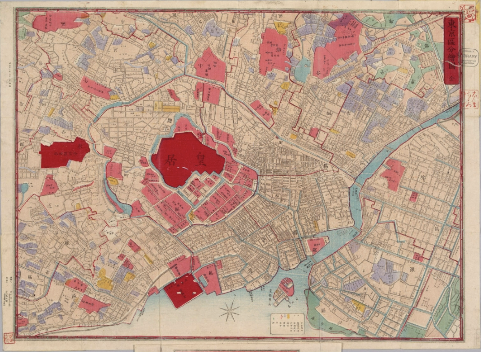
Map of Tokyo, 1880 … Map that represents the new state’s conversion of Shogunal authority into imperial authority.