Geography Terms
 Call Kai
 Learn
Learn Practice Test
 Spaced Repetition
 Match
Match Flashcards
 Knowt Play
1/26

There's no tags or description
Looks like no tags are added yet.
Name | Mastery | Learn | Test | Matching | Spaced | Call with Kai | Chat |
|---|
No analytics yet
Send a link to your students to track their progress
27 Terms
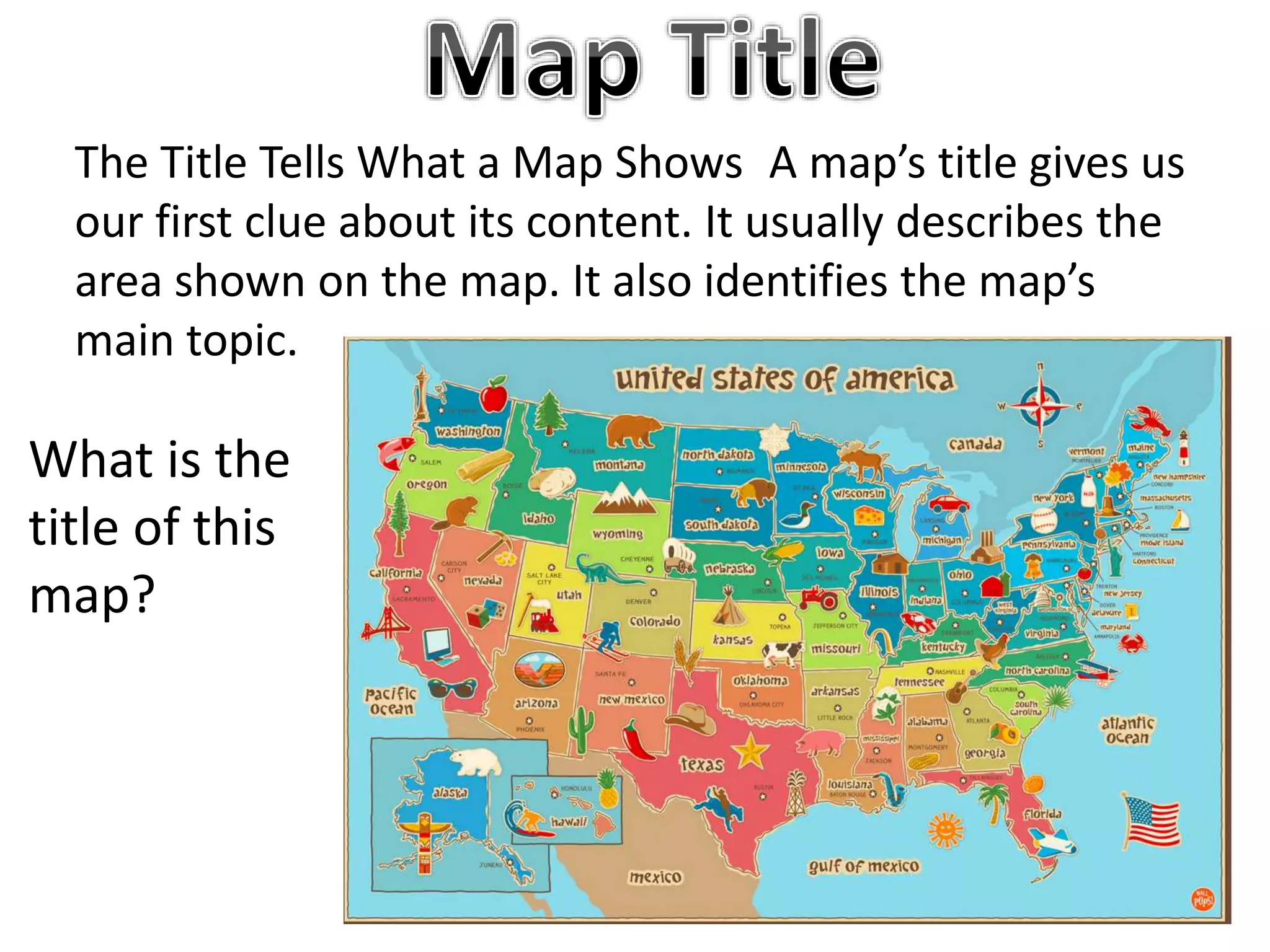
Tittle
Tells you what you are looking at.

Compass rose
Tells you where you are looking at

Cardinal directions
North, East, South, West.

Intermediate
NE,SE,NW,SW middle directions .
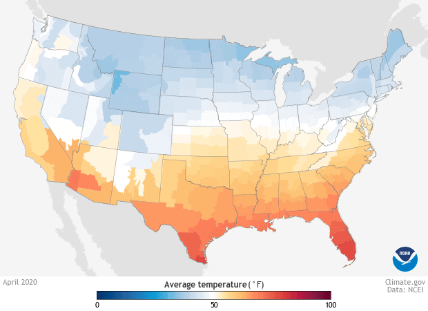
Continuous
Connect u.s 48 states

Legend/key
Tells you what the symbols mean.

Inset map
Zoomed out view of the surrounding area.

Political map
is shows states city’s and borders.

scale
helps you estimate the difference.

physical map
shows physical features like water ,river, mountains and oceans

equator
splits the world in into the northern and southern hemisphere.

prime meridian
imaginary line that splits earth into eastern and western

Degrees
measuring units of latitude and longitude.

medians/longitude
imaginary lines on earth that run between north and south pole.

parallels and latitude.
imaginary lines on earth that run east to west like the equator

north pole
the point ion earth located at 90 degrees north latitudes that the lines of latitude meet.

south pole
the point ion earth located at 90 degrees south latitudes that the lines of latitude meet.
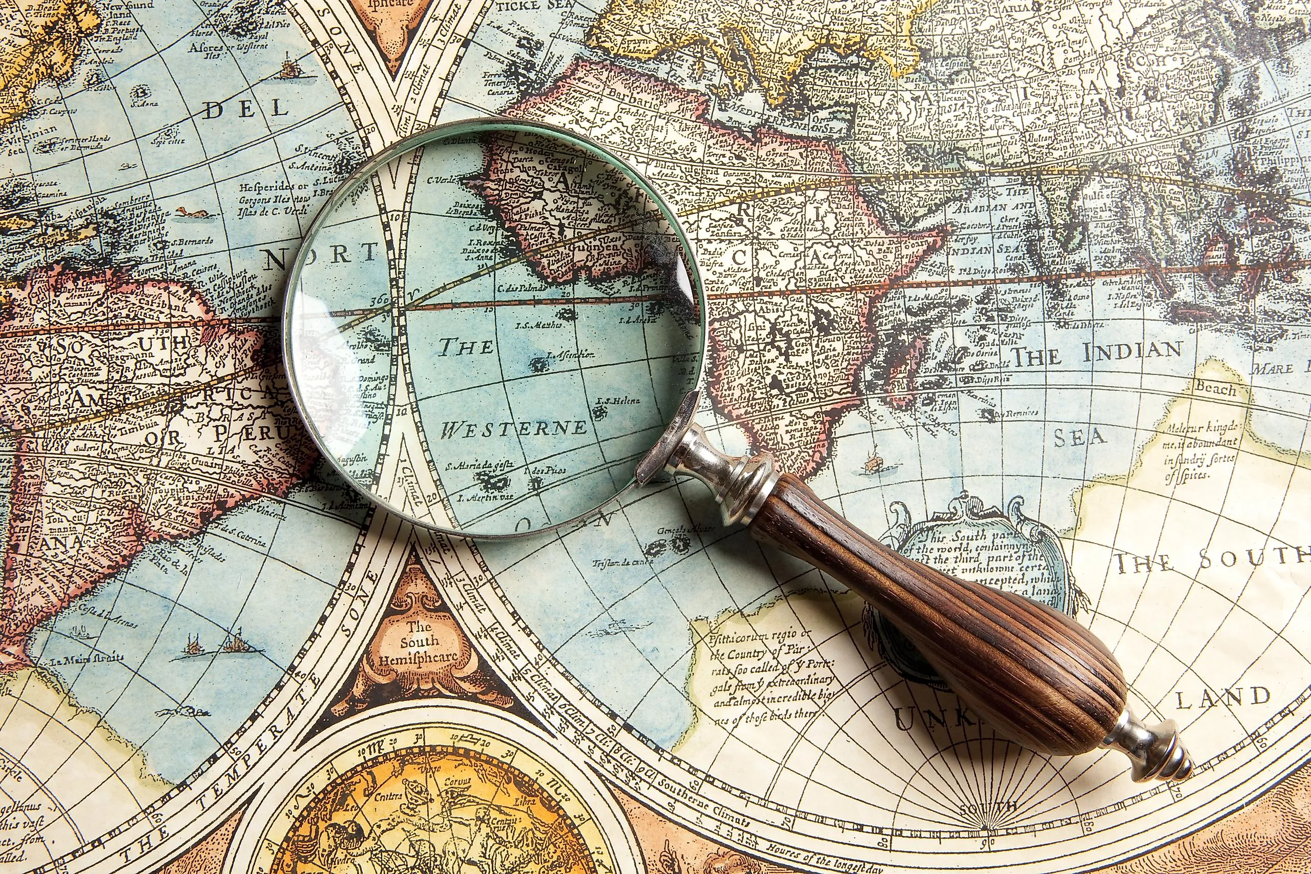
Cartographer
it is a mapmaker.

Hemisphere
half of the earth split by either the prime meridian or the equator.

Northern Hemisphere
North America , Europe and Asia.

Southern Hemisphere
Antarctica,Australia,south America .

Eastern Hemisphere
Asia and Australia,

western hemisphere
North and south America,
Geographic Grid
a pattern of lines that form squares.
Index
an ABC listing of place names on a map and the grid squares in which they are found example B6 or C7
Relative location
where a place is located by comparing it to other landmarks places or areas around it.
Absolute location
uses latitude and longitude coordinates to determine the exact location of a place