Unit 1 APHG
1.1
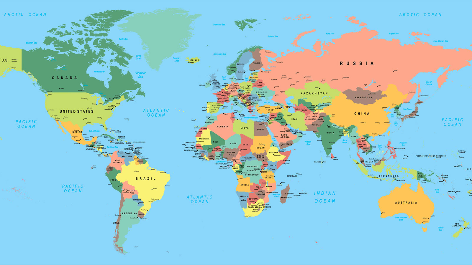
Mercator projection: good for showing accurate directions but significant distortion of size (ex. Greenland and Africa)
Good Homolosine projection: good at showing true size and shape of land masses but distortion in distances near edges of map so not helpful for direction
Robinson projection: more distortion near the poles which helps preserve size and shape of land masses but ends up spreading distortion out in all areas
Gall-peters projection: distortion with shape and direction
Interrupted map: map that tries to remove distortion by removing parts of the globe
Uninterrupted map: map that displlays entirety of the earth’s surface
Reference maps: often used for directions and boundaries, etc.
Absolute direction: exact location
Relative direction: approx. and direction depends on another object’s current location
Thematic maps: display spatial patterns and use quantitative data
Chloropleth, dot density, graduated symbol, isoline (ex. Weather map), cartogram, flow line maps (ex. Movement of imports and exports)
1.2
Geospatial technologies (remote sensing, geographic information systems, GPS)
Qualitative: often in word form (ex. interviews)
Quantitative: collected through numbers # (ex. Census)
1.3
Small scale - global scale
Large scale - local scale
Supranational organization: organizations such as United Nations
1.4
Absolute location: exact spot on earth using longitude and latitude
Relative location: description of location based on surrounding area
Placelessness: When a place seems to lack in identity
Time-space compression: reduction of time it takes for something or someone to get from one place to another (counters distance decay)
Distance decay: effect of distance on cultural or spatial interactions
1.5
Environmental determinism: environment sets possibilities for human and society
Environmental possibilism: idea that environment puts limits on society but ppl have ability to adjust/modify physical environment to overcome limits
1.6
Scale: relationship of distance on map to corresponding distance on ground
Scale of analysis: observation of data at the global, national, regional and/or local scale
(ex. Global scale with national scale of analysis)
Small scale - more generalizations (ZOOMED OUT)
Large scale - more detailed (ZOOMED IN)
1.7
Formal/uniform regions: common attributes, defined by different characteristics
Functional/nodal regions: areas organized around nodes (ex. Subway stations)
Perceptual/vernacular regions: areas linked together due to opinions, beliefs on region - exist in people's minds (ex. Middle East) use cardinal directions