Westward Expansion Louisana Purchase Louis And Clark And The War Of 1812 Help info/ ANSWER KEY NOTES SS GUIDE.2 3 map questions
The Louisiana Purchase was a land deal between the United States and France in 1803, where the U.S. acquired approximately 828,000 square miles of land west of the Mississippi River. The Lewis and Clark expedition was an exploration of this newly acquired territory led by Meriwether Lewis and William Clark from 1804 to 1806. The War of 1812 was a conflict between the United States and Great Britain, primarily over maritime rights and territorial expansion.
THE MAIN GOAL OF EXPEDITION / LEWIS AND CLARK
The main goal of the Lewis and Clark Expedition was to explore and map the newly acquired western territory of the United States, known as the Louisiana Purchase, and to find a practical route to the Pacific Ocean.= EXPLORE THE LAND / THOMAS JFFERSON SENT MERIWHETER AND WILLIAM ON THE EXPEDITION.
WAR OF 1812
British impressment of American sailors
British interference with American trade
American desire to expand territory
Sacagawea helped William and Meriwheter in their journey as a translator and interpreter
The White House, and the U.S.A. Capitol were burned down by the the British in THE WAR OF 1812
A Telegraph is a technological advancement that helped people communicate from very far places. back in the 1800’s and 1900’s
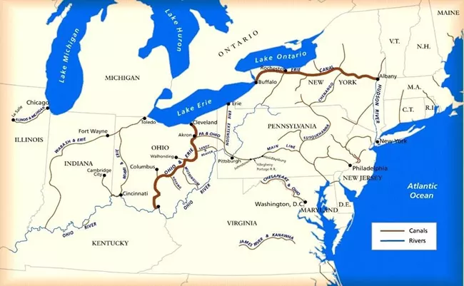
The Erie Canal allowed the goods or foods to being shipped faster . Thanks Erie Canal.
The Cotton gin is very important because it made cotton the #1 export in the U.S.A Eli Whitney invented this ancient product.
Steam locomotives allowed people to take railroads west. It created a safer travel for the people.
THE Erie Canal became faster for people and or goods to be shipped
What does this map show?
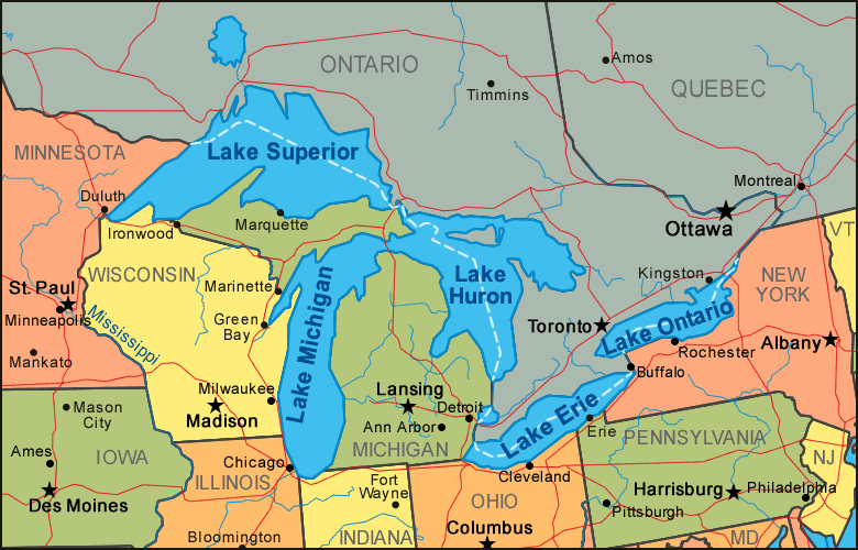
THIS MAP SHOWS: GREAT LAKES
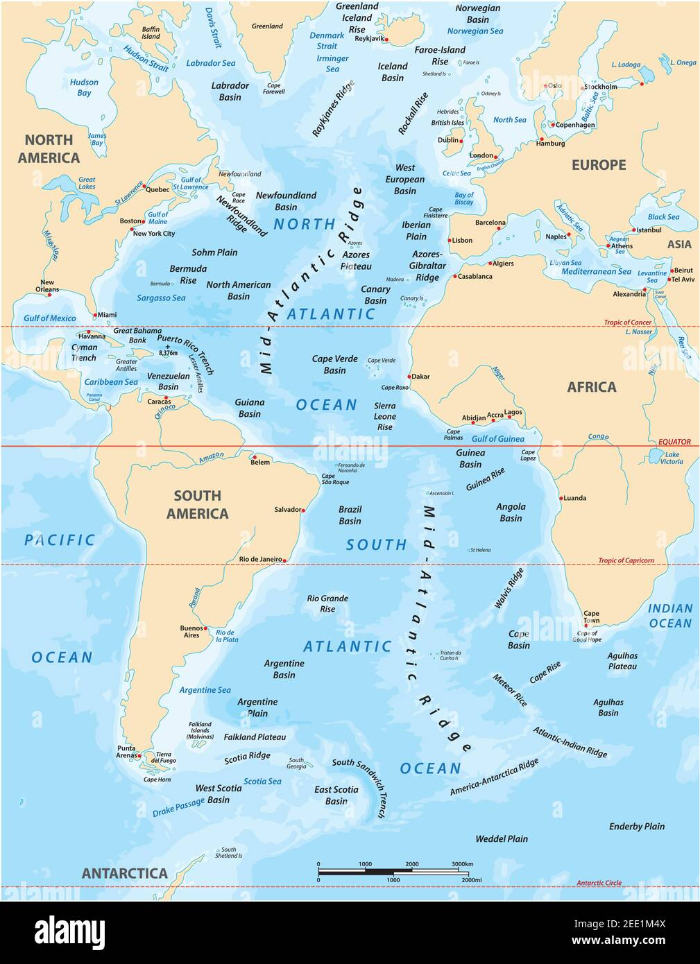
What does this show ?
MAP SHOWS: ALANTIC OCEAN
What does this show?
MAP SHOWS: ERIE CANAL AND ALANTIC OCEAN