Mapping skills
Directions, bearings, and map basics
BOLTSS:
Border
Orientation
Legend
Title
Source
Scale
16 point compass and their bearings

Forms of point referencing
Area Reference
Written with four digits, the grid points of the map, e.g. AR0942
Grid reference
Further breaking down the AR square, ito a 10 by 10 grid of its own, earning their 3rd and 6th digits, e.g. GR094429 from the original AR0942.
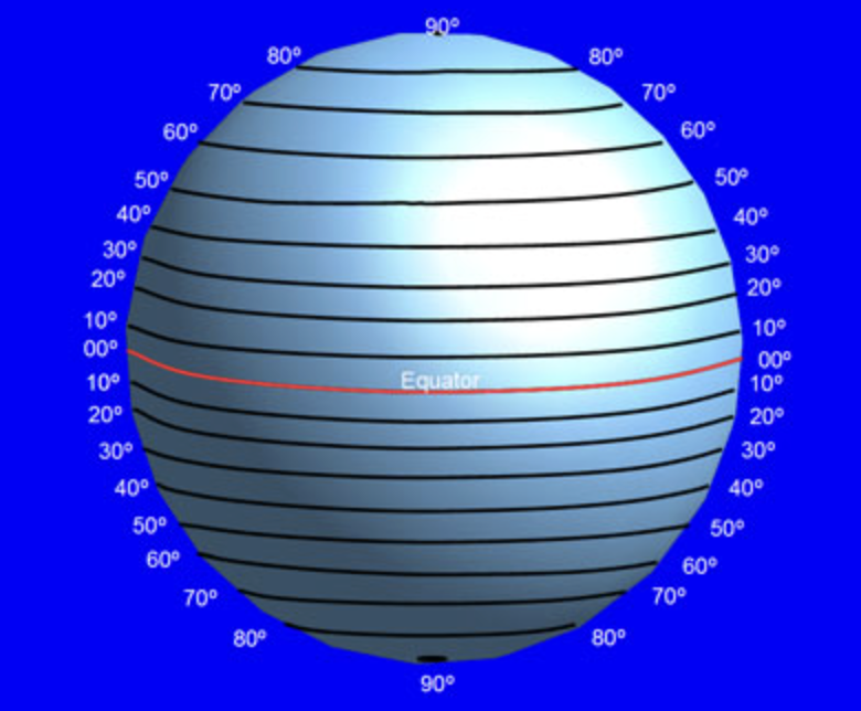
Longitude and latitude
They are broken up into degrees, minutes and seconds. Longitude goes down, and measures east/west from the Prime Meridian, and can be found with the northings, as northings go up. A way to remember where longitude is that E/W is opposite to N(for northings)/S. Latitude is the opposite, measuring north/south from equator. They can be found using the black and white lines on a broadsheet.

Scale and distance, and measuring area and gradient
There are 3 types of scales on maps:
Written: The written scale uses words in order to tell you the scale, such as “1 centimetre represents 3000 kilometres.“
Linear: Uses lines to represent the scale.
Ratio: Is written as a ratio, such as “1:999999999”.
How to measure distance using linear scale
Get piece of paper
Mark the two points
If you want to find straight line distance, mark the distance of the two on the piece of paper
If the distance is curved, make a new mark for every curve, but make sure the marks are on the same side.
Use linear scale as a ruler.
Convert to correct units.
How to measure area in topographic maps
Draw rectangle around what you want to measure, and either slightly overestimate or underestimate. Measure both sides, and multiply both sides by scale. Then find area by multiplying the two sides according to the scale. It is important to convert into the units told.
How to measure gradient in topographic maps
Find the straight/curved line distance, and the difference of the the two locations’ contour intervals. Then divide rise by rise, and then run by rise, giving you something like 1:x. Remember, then answer must be in a ratio.