Aviation Weather Symbols
1/90
There's no tags or description
Looks like no tags are added yet.
Name | Mastery | Learn | Test | Matching | Spaced |
|---|
No study sessions yet.
91 Terms
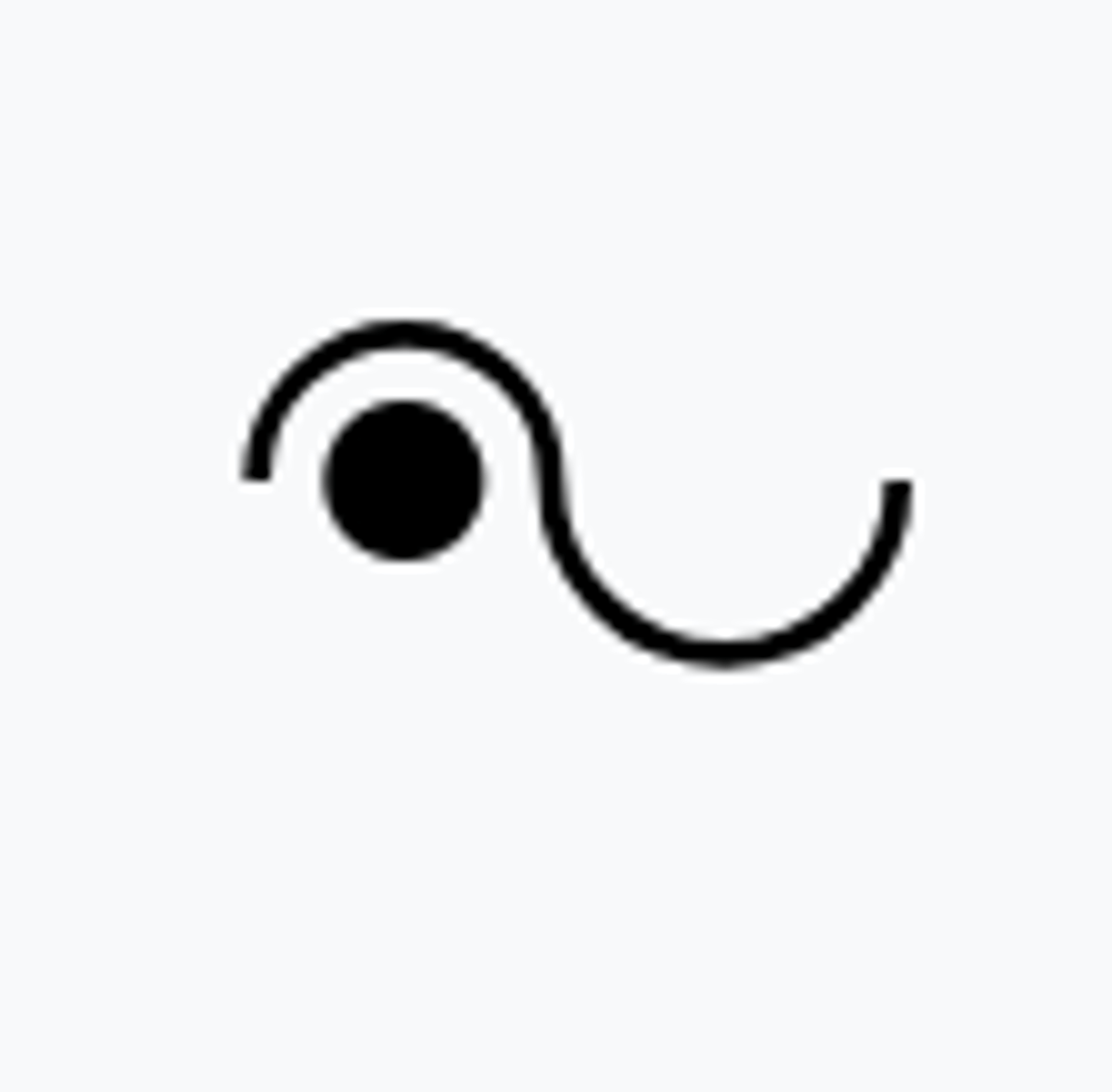
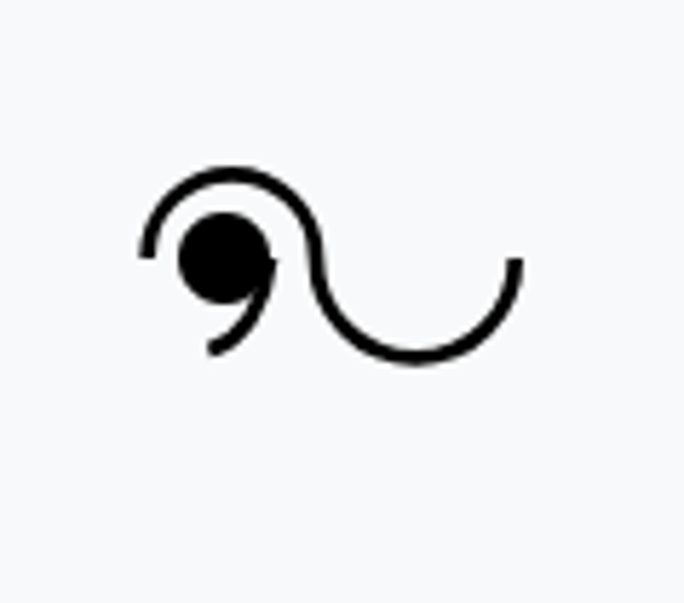
Light Rain
-RA
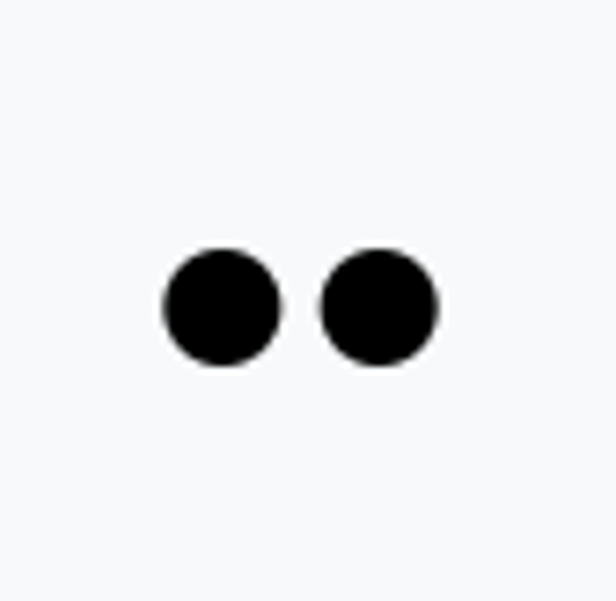
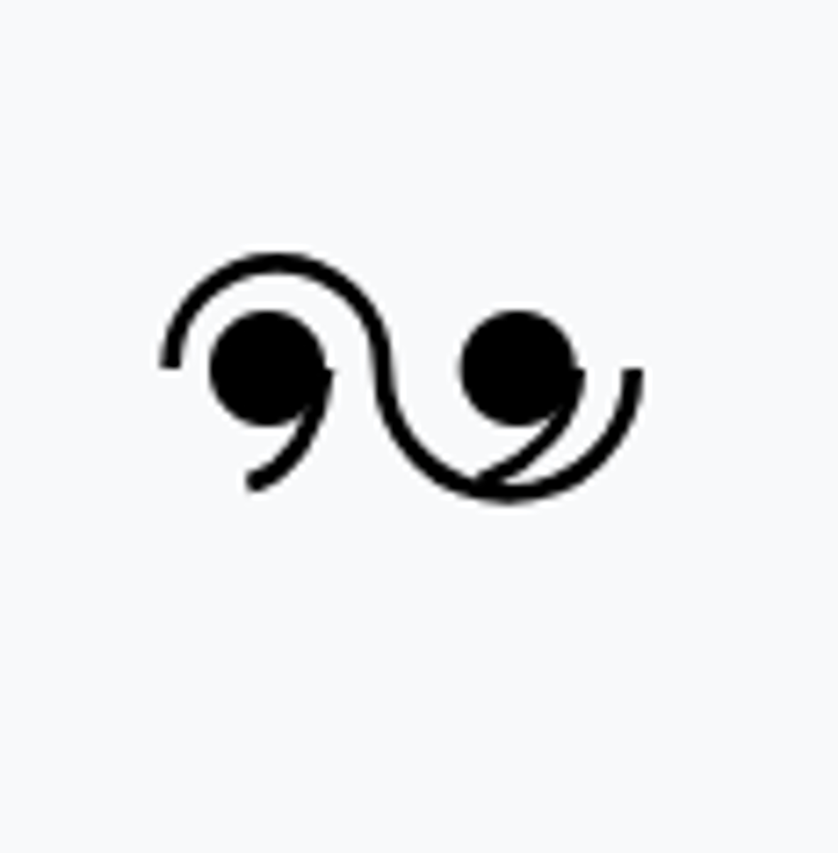
Moderate Rain
RA

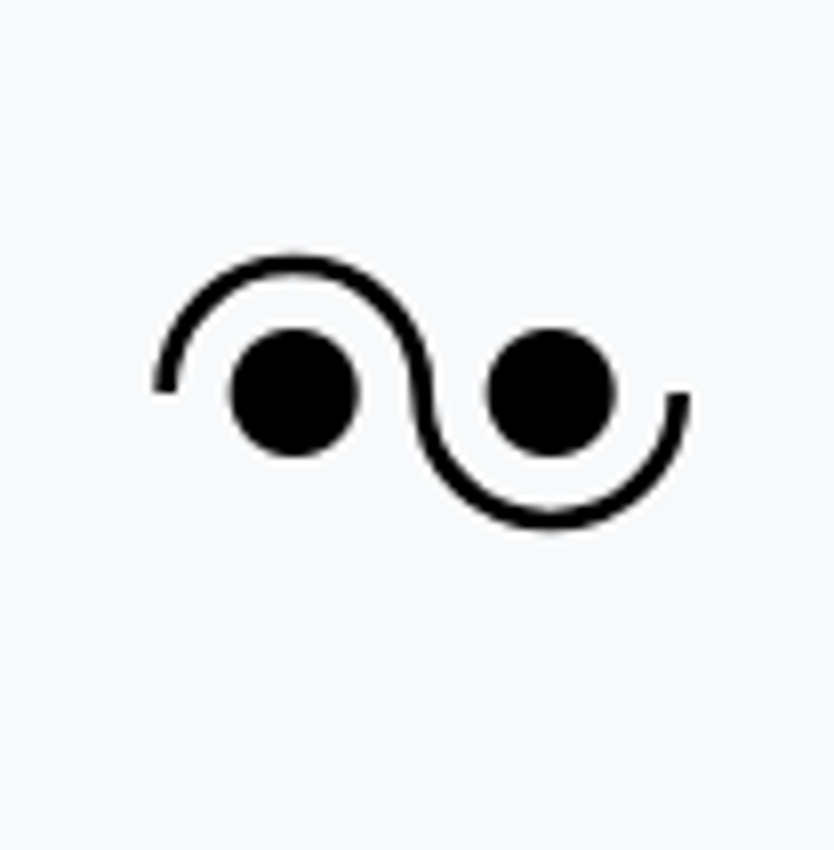
Heavy Rain
+RA

Light Freezing Rain
-FZRA
Moderate to Heavy Freezing Rain
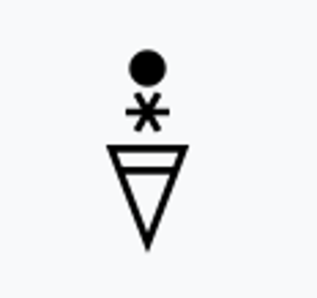
FZRA +FZRA
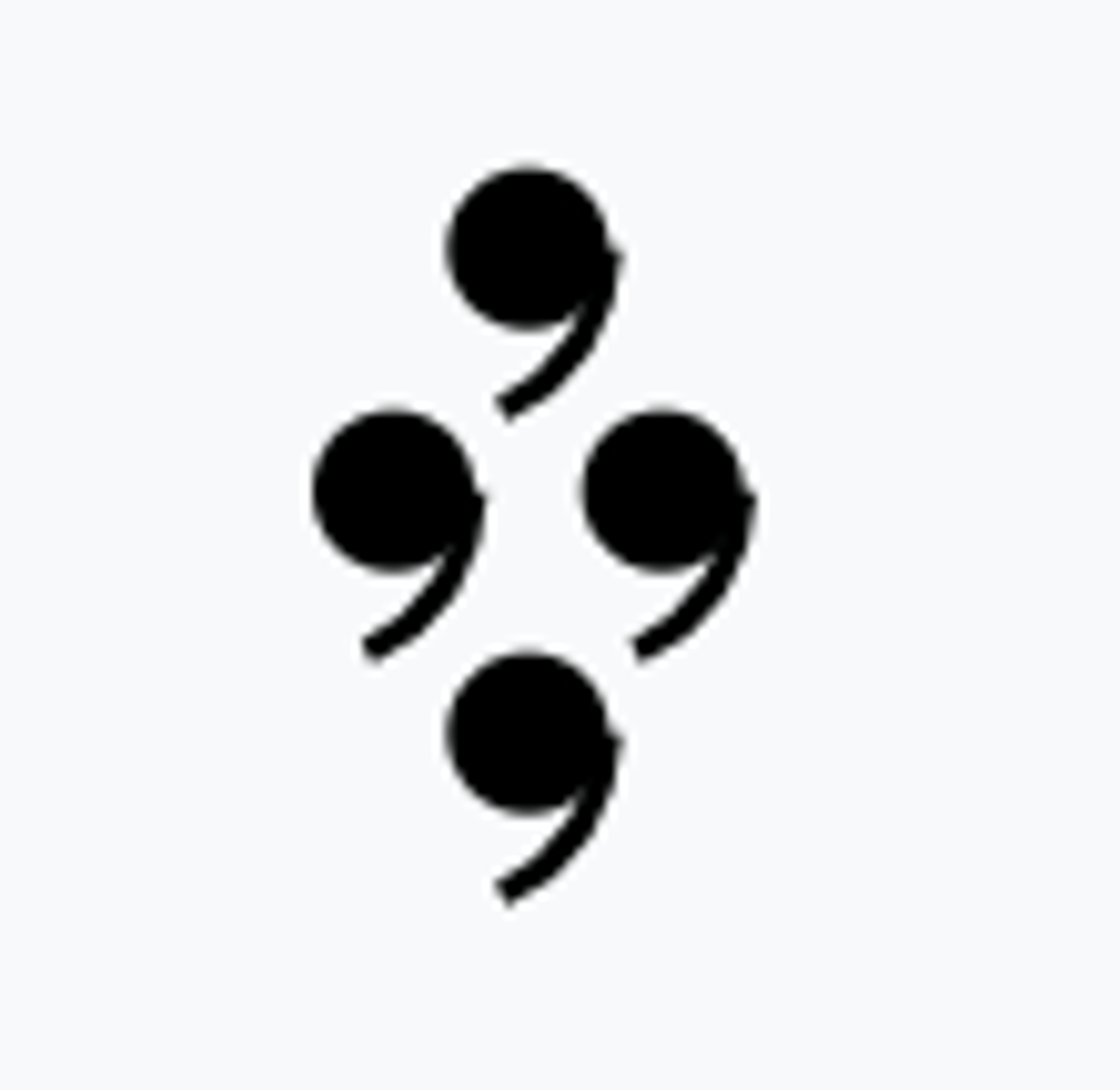
Light Rain and Snow
-RASN
Moderate to Heavy Rain and Snow
RASN + RASN
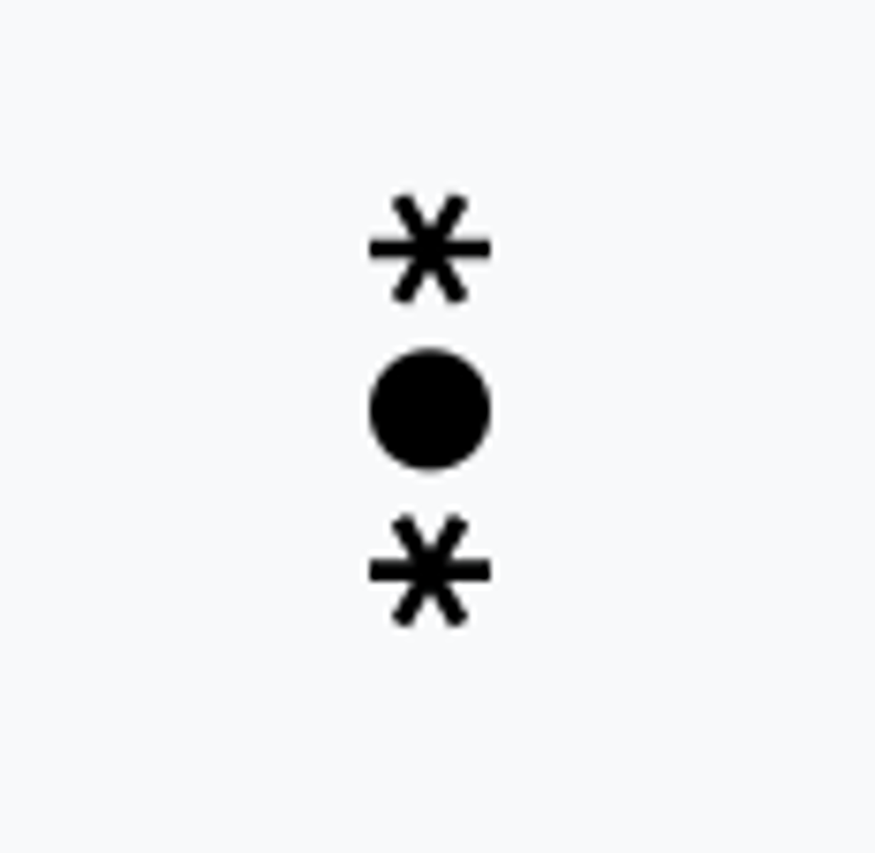
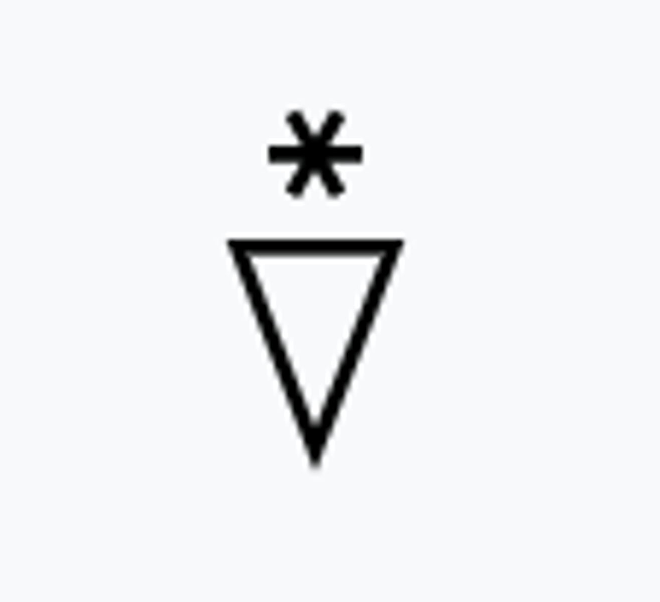
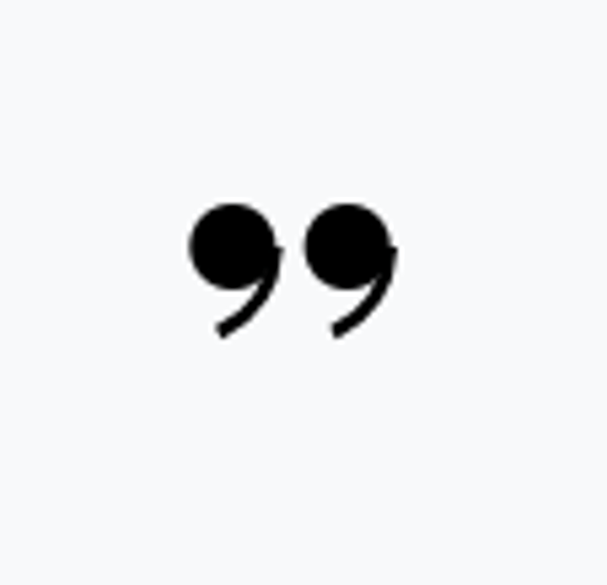
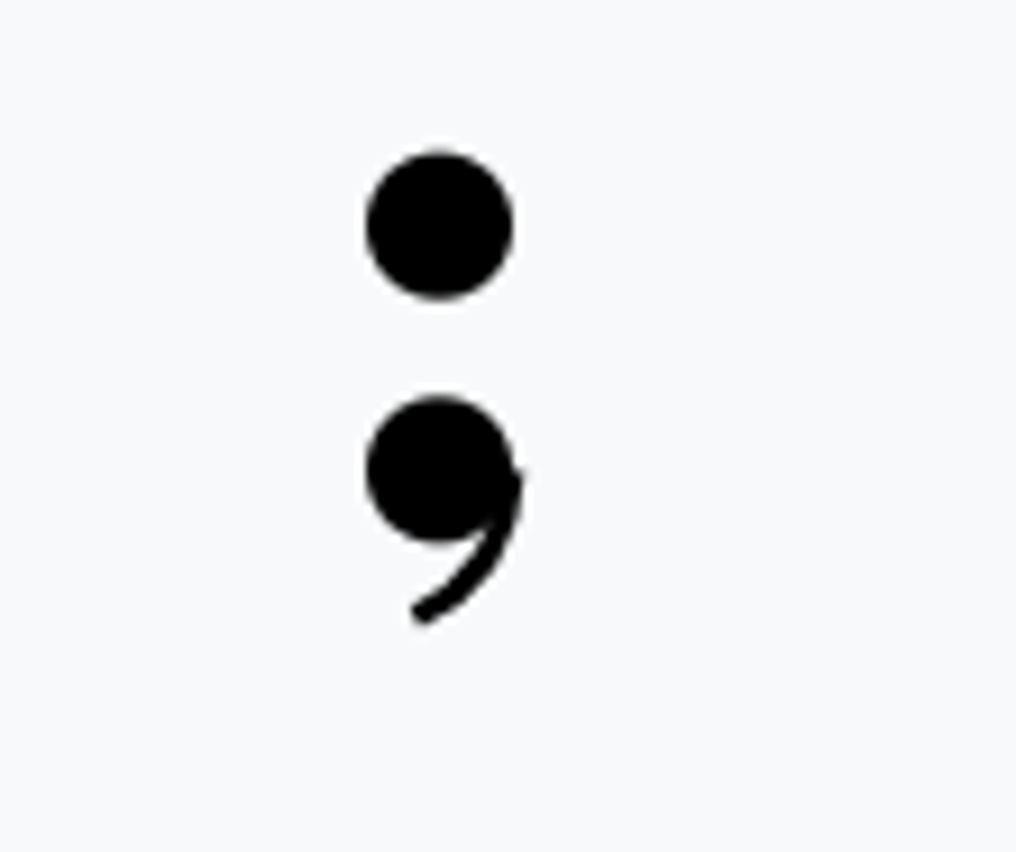
Light Snow
-SN
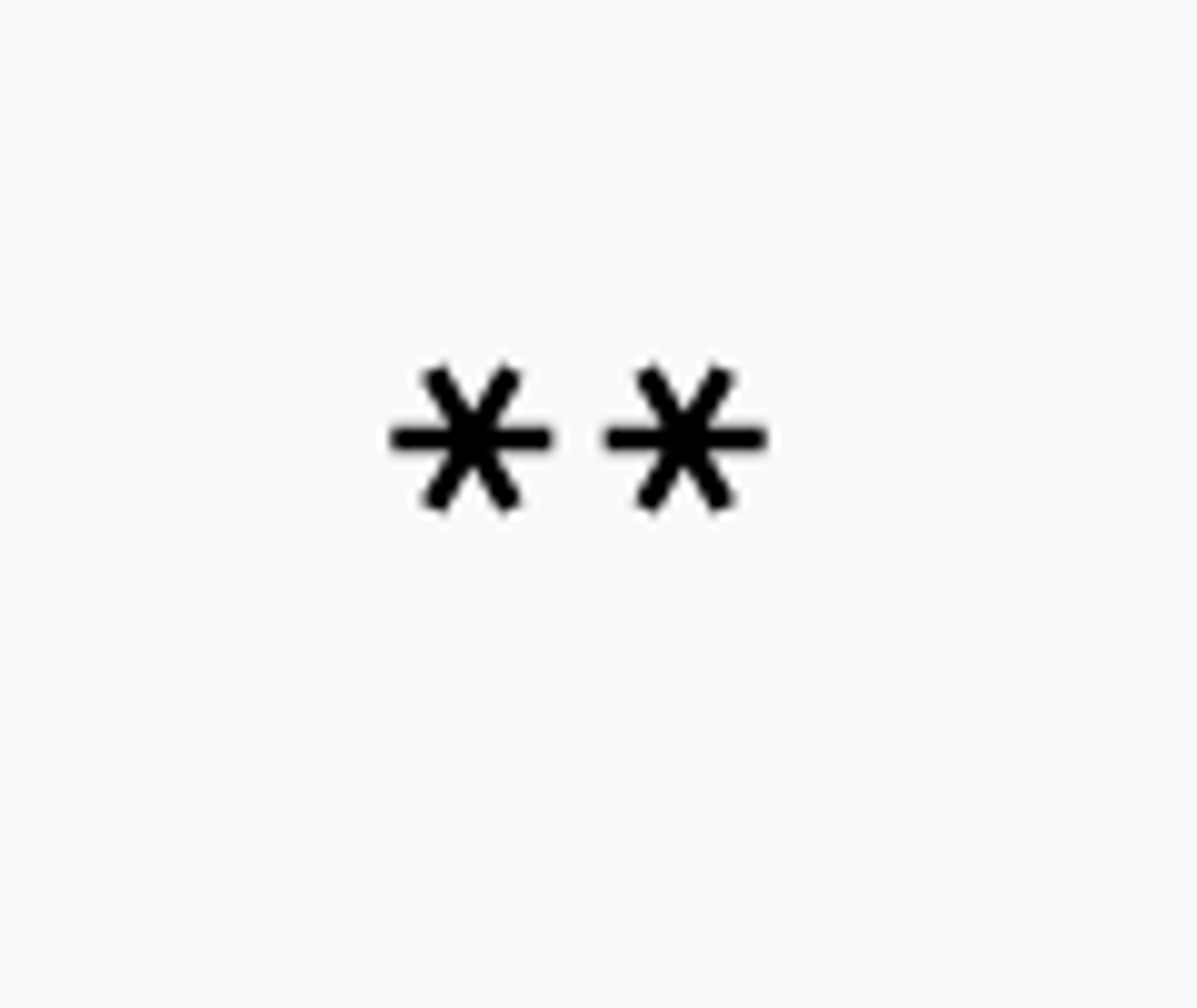
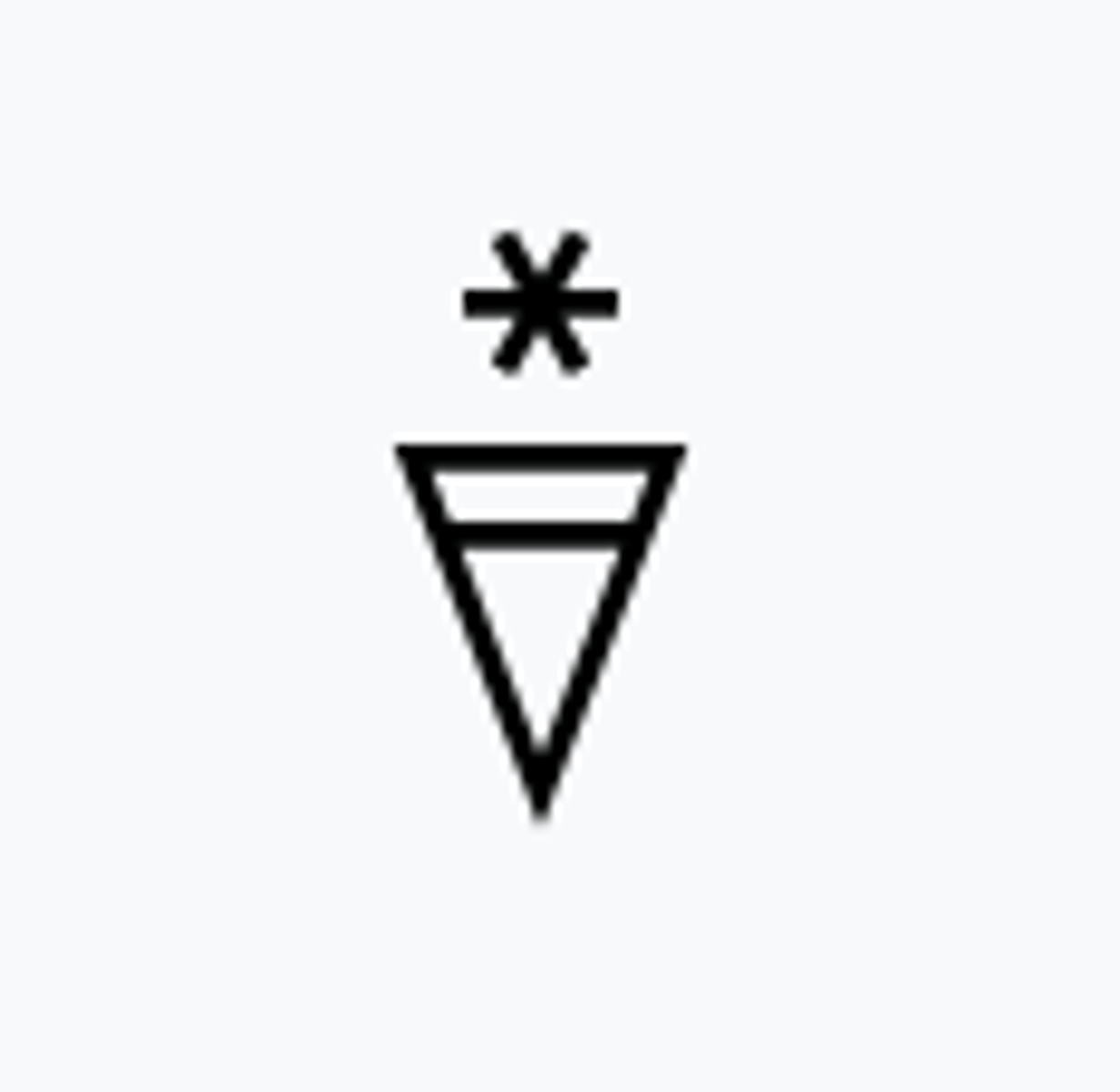
Snow
SN
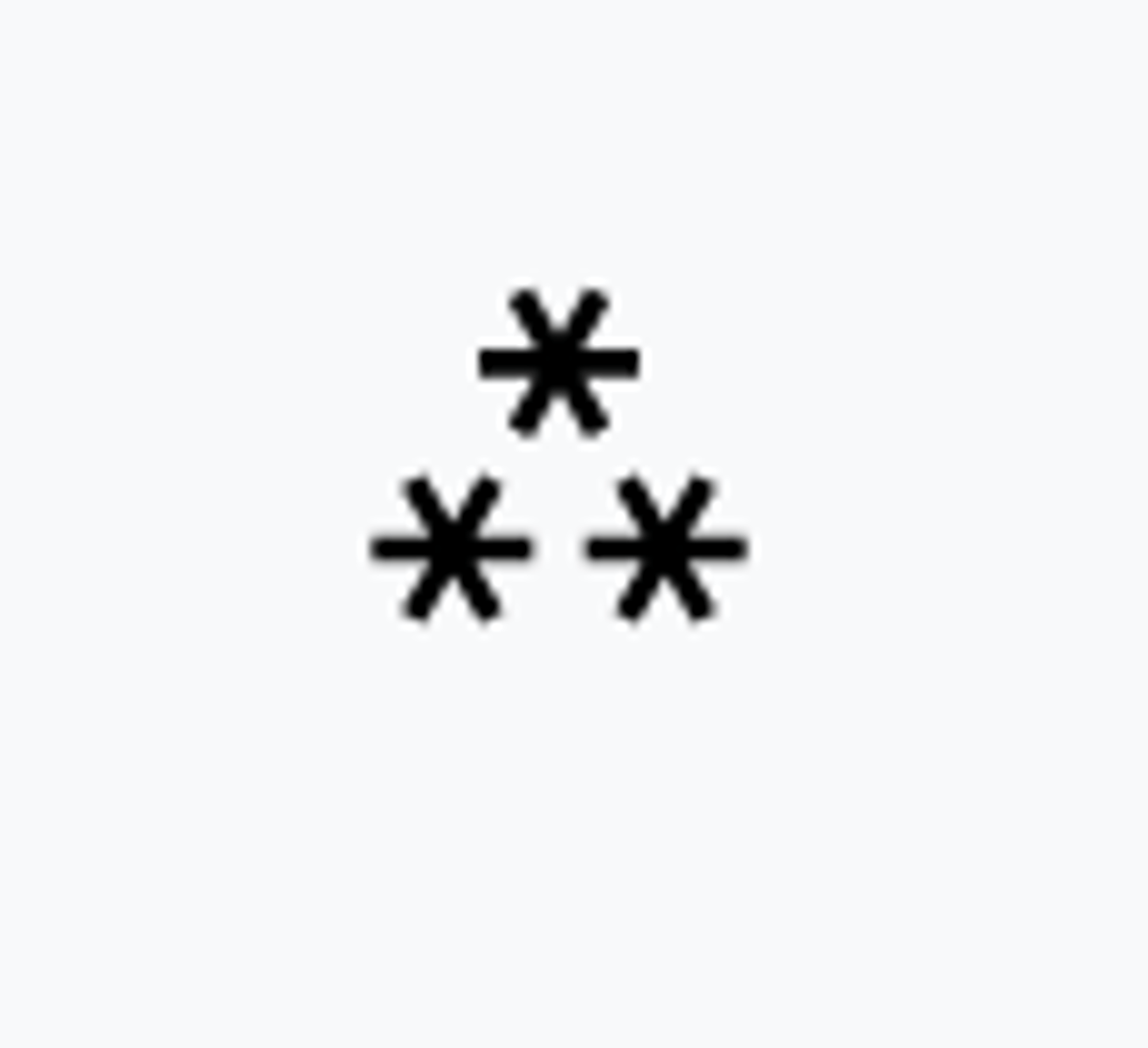
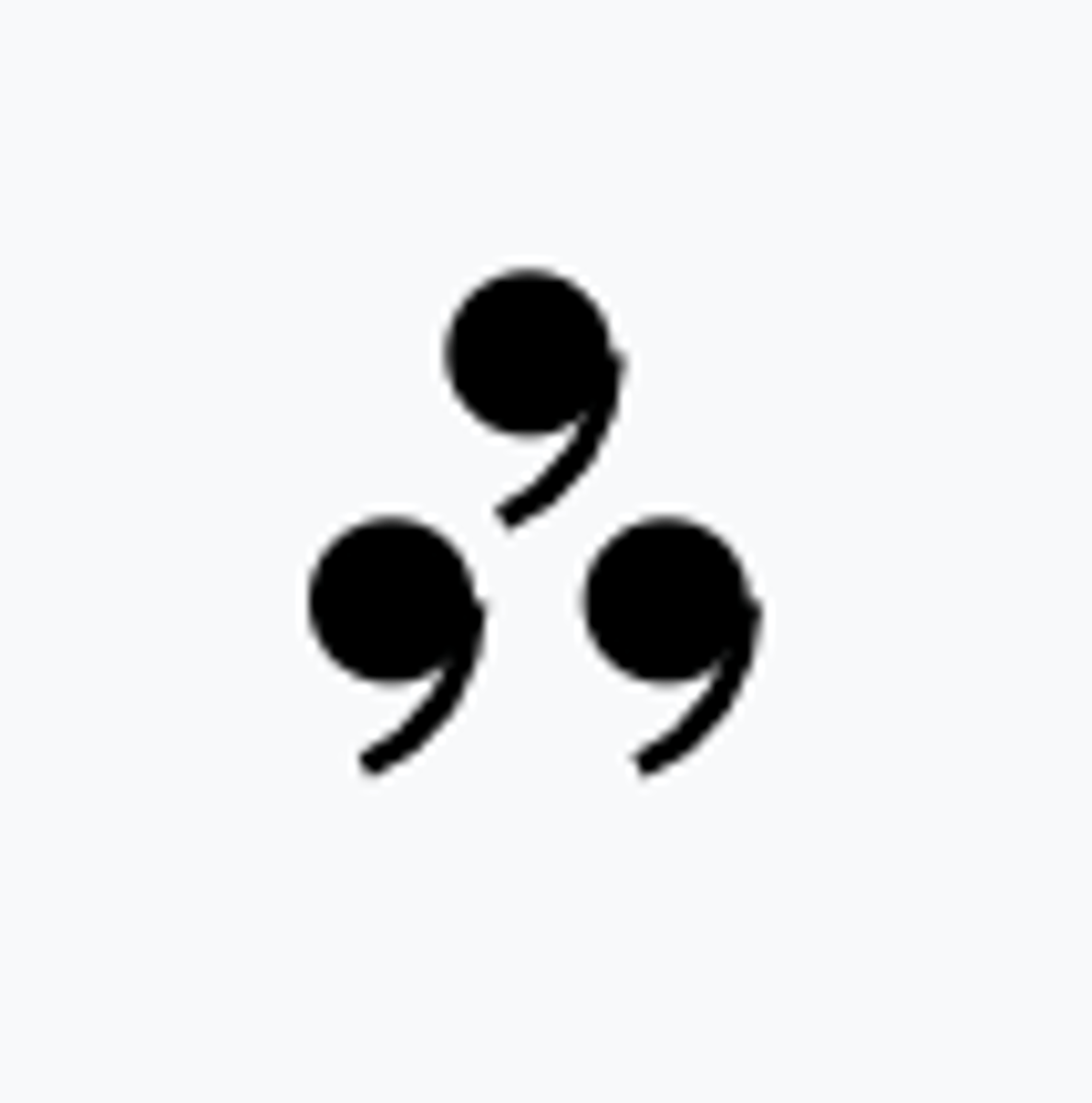
Heavy Snow
+SN
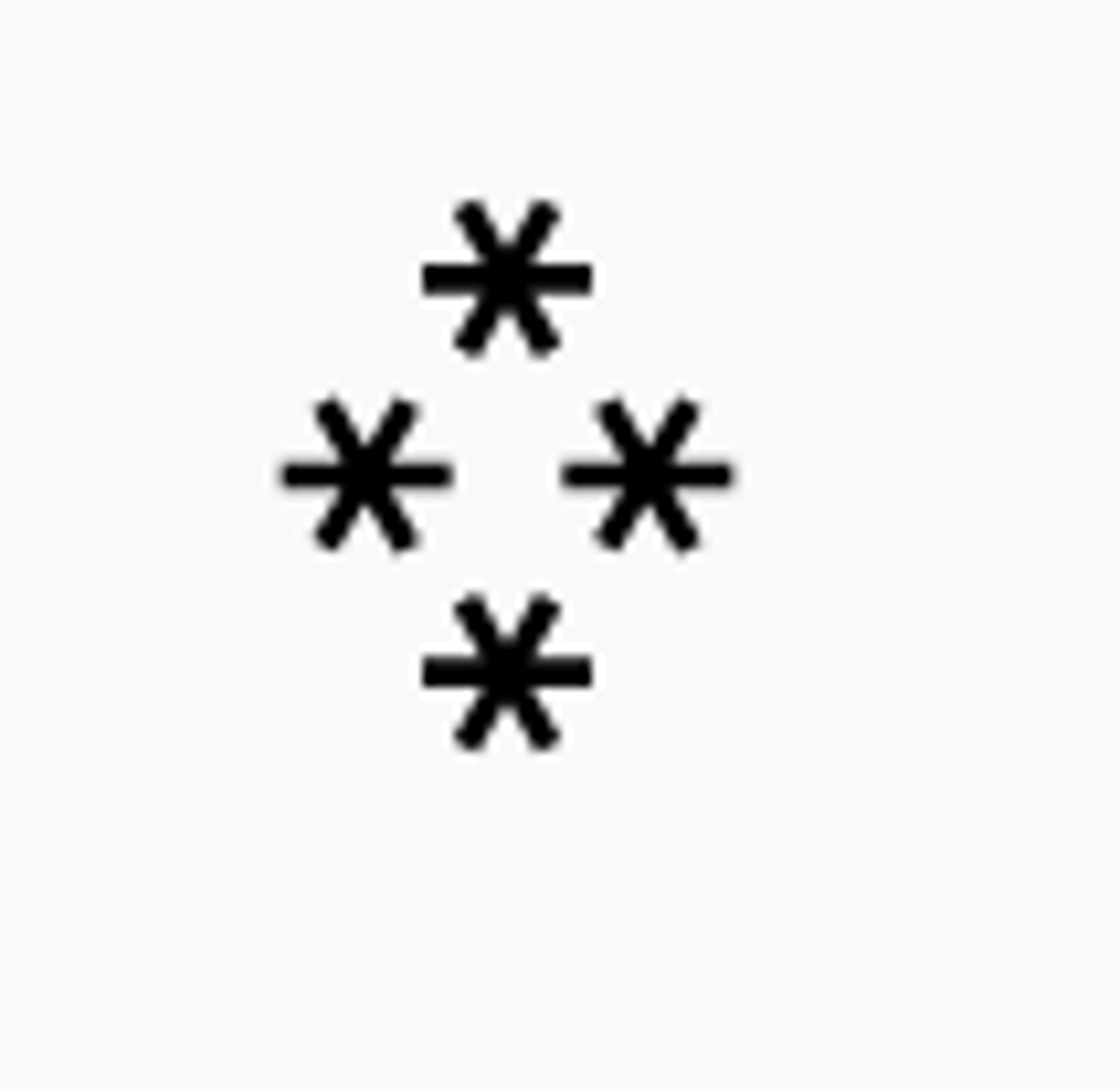
Blowing Snow
BLSN
Drifting Snow
DRSN
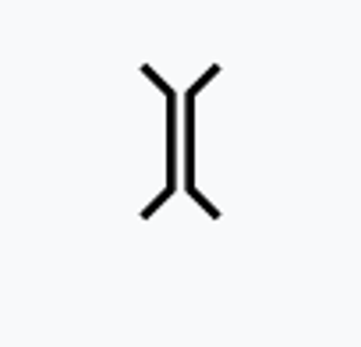
Snow Grains
SG
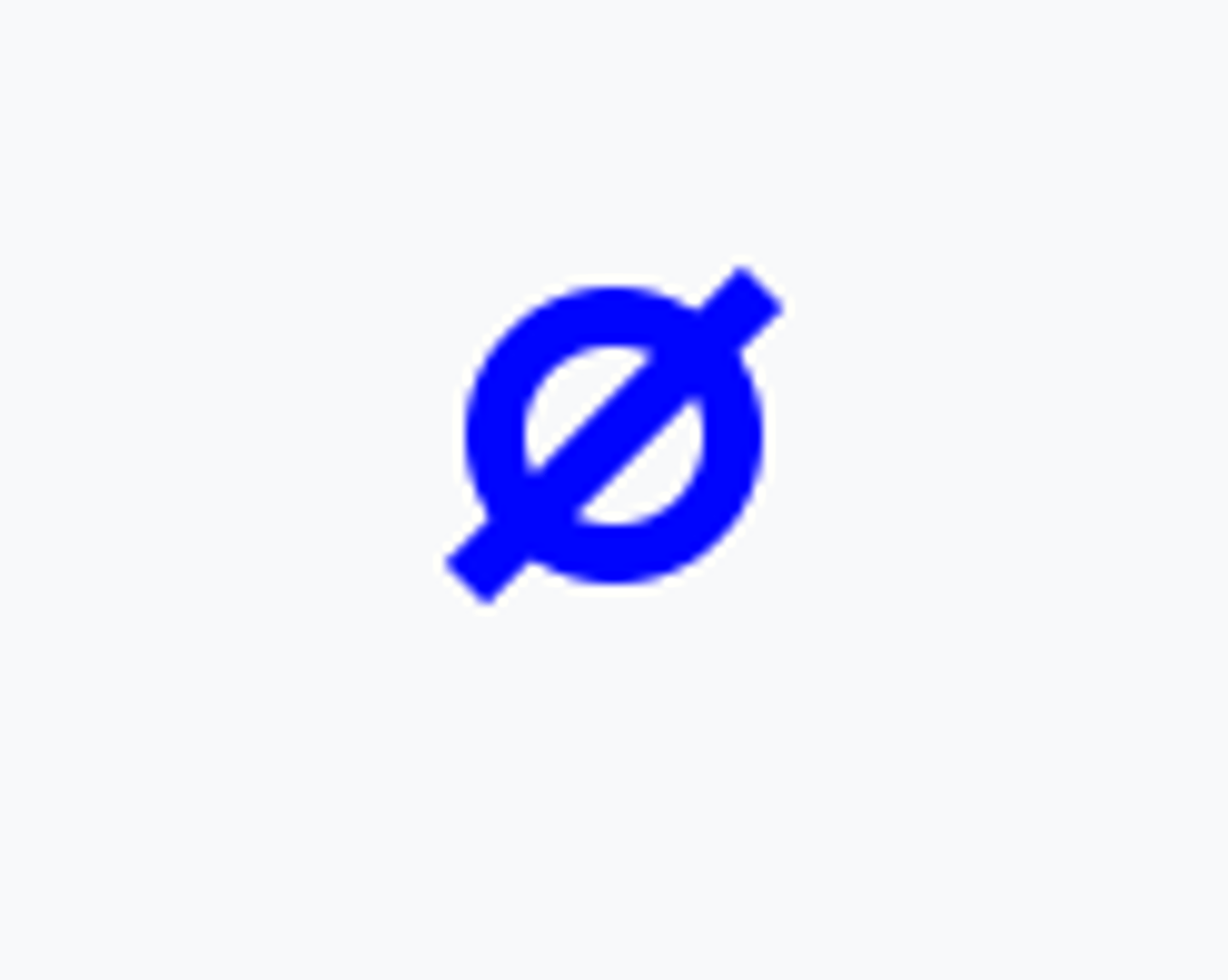
Ice Crystals
IC
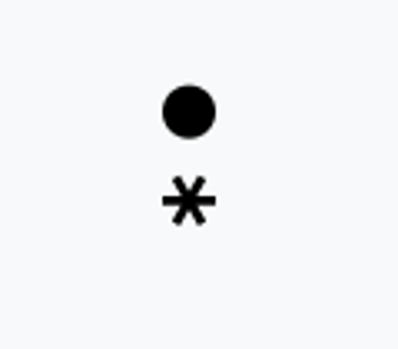
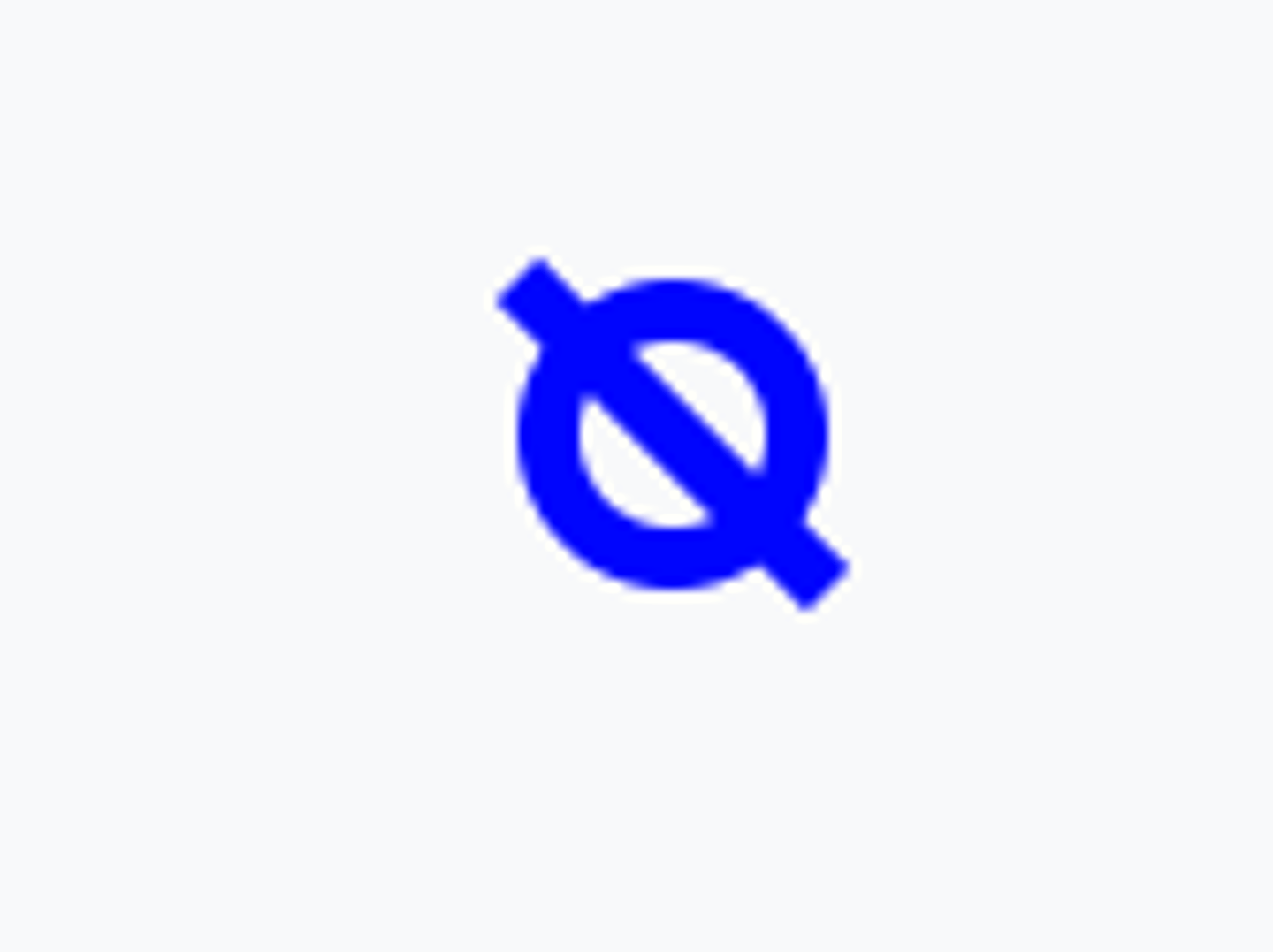
Ice Pellets
PE PL
Light Rain Showers
-SHRA
Moderate to Heavy Rain Showers
SHRA +SHRA
Light Rain and Snow Showers
-SHRASN
Moderate to heavy rain and snow showers
SHRASN +SHRASN
Light Snow Showers
-SHSN
Moderate to heavy snow showers
SHSN +SHSN
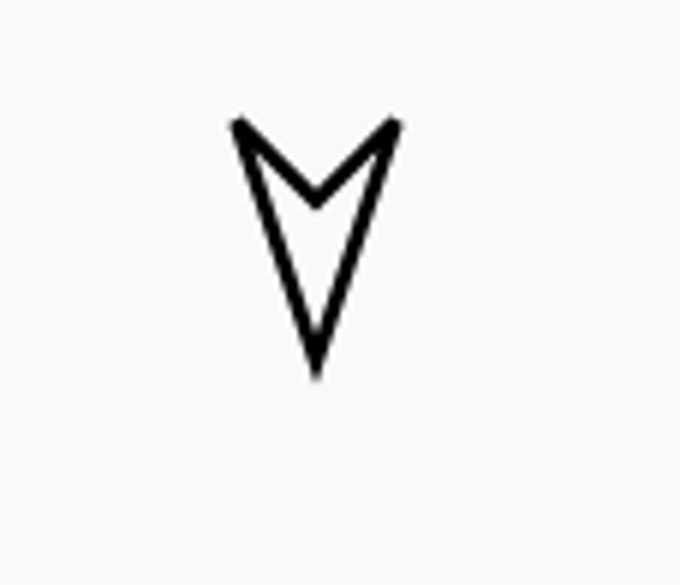
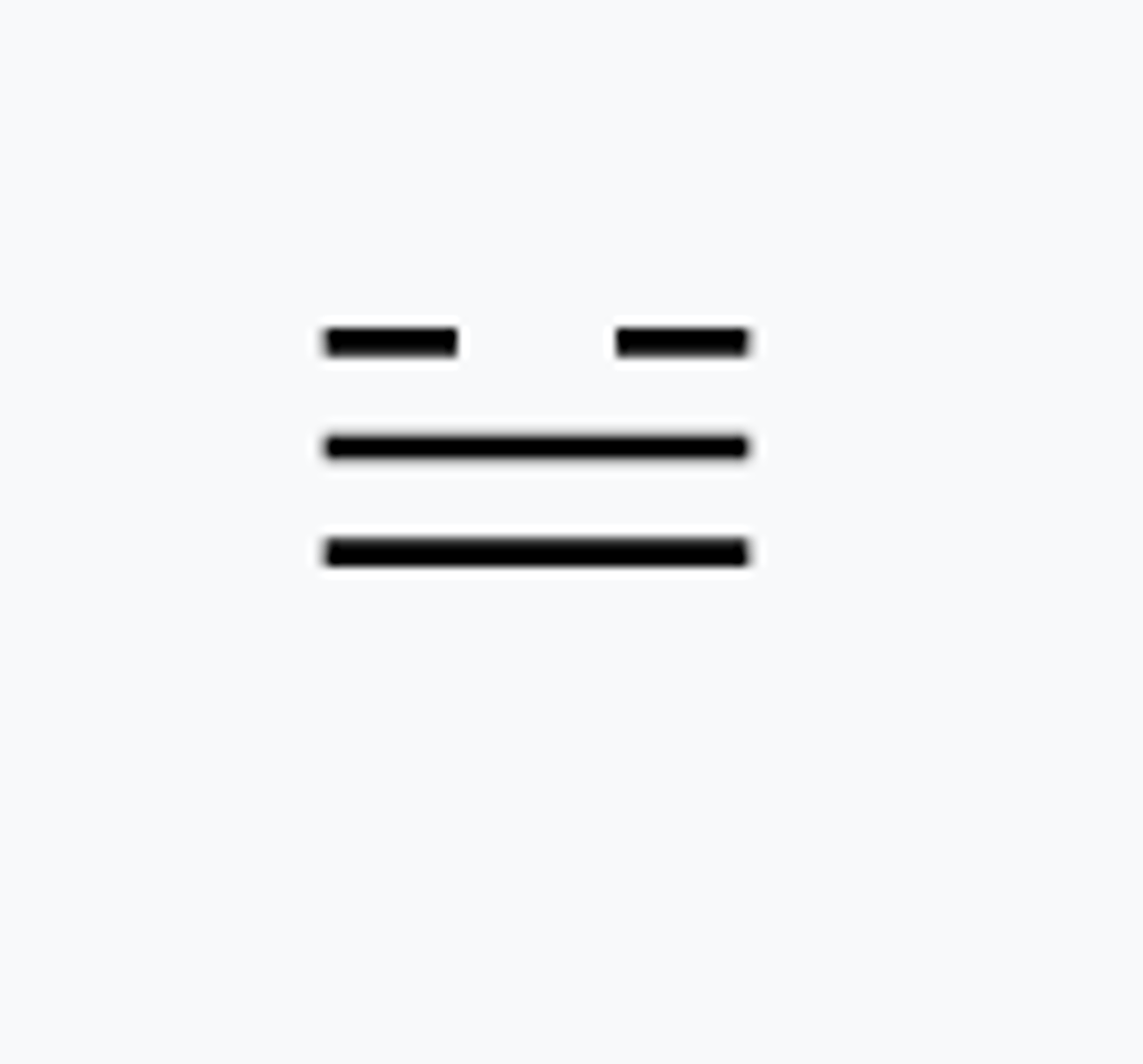
Light showers with hail, not with thunder
-GR
Moderate to heavy showers with hail, not with thunder
GR
Vicinity showers
VCSH
Vicinity thunderstorm
VCTS
Vicinity thunderstorm with rain
VCTSRA
Thunderstorm with or without precipitation
TS
Thunderstorm with light to moderate rain
TSRA
Thunderstorm with heavy rain
+TSRA
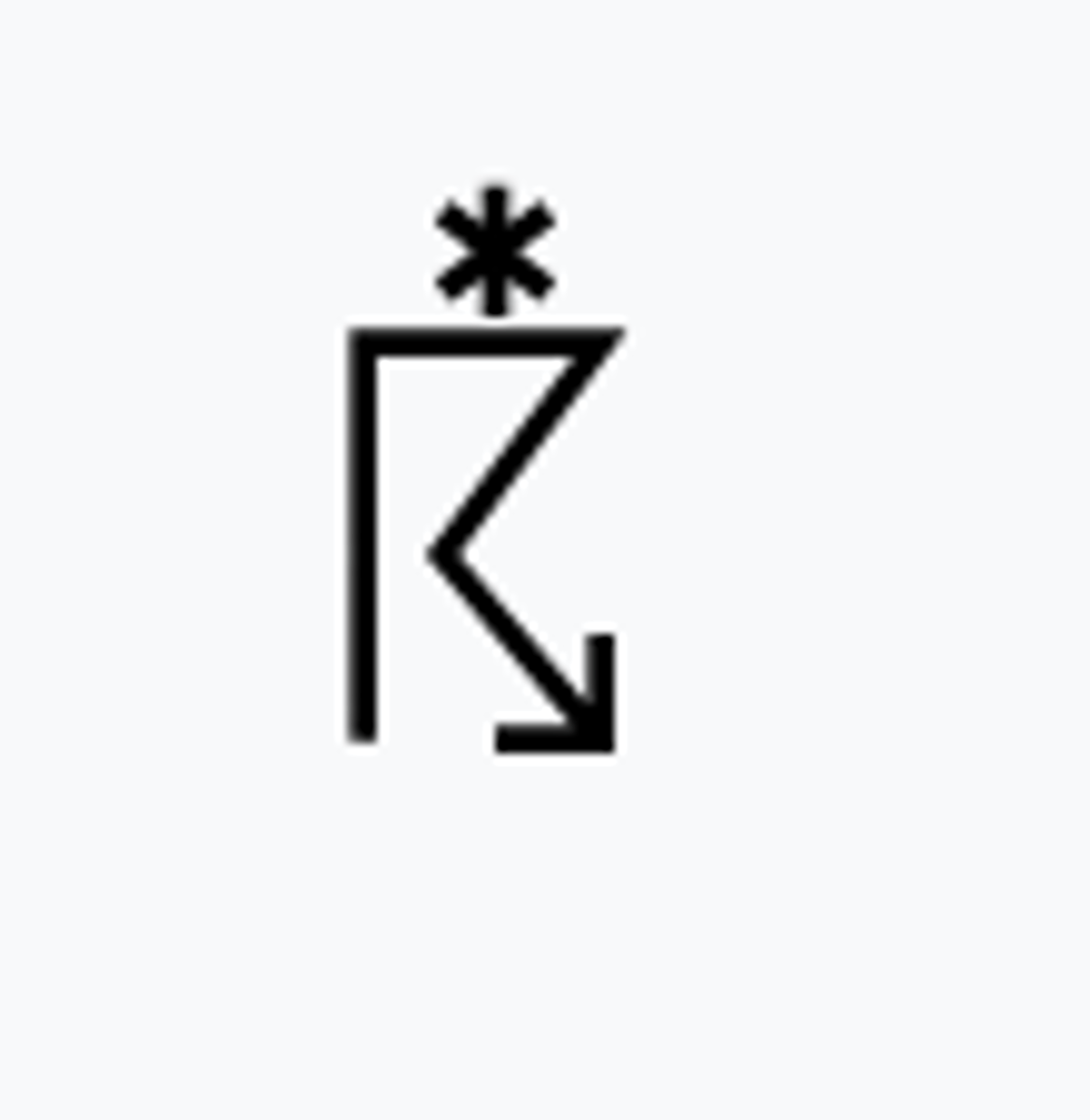
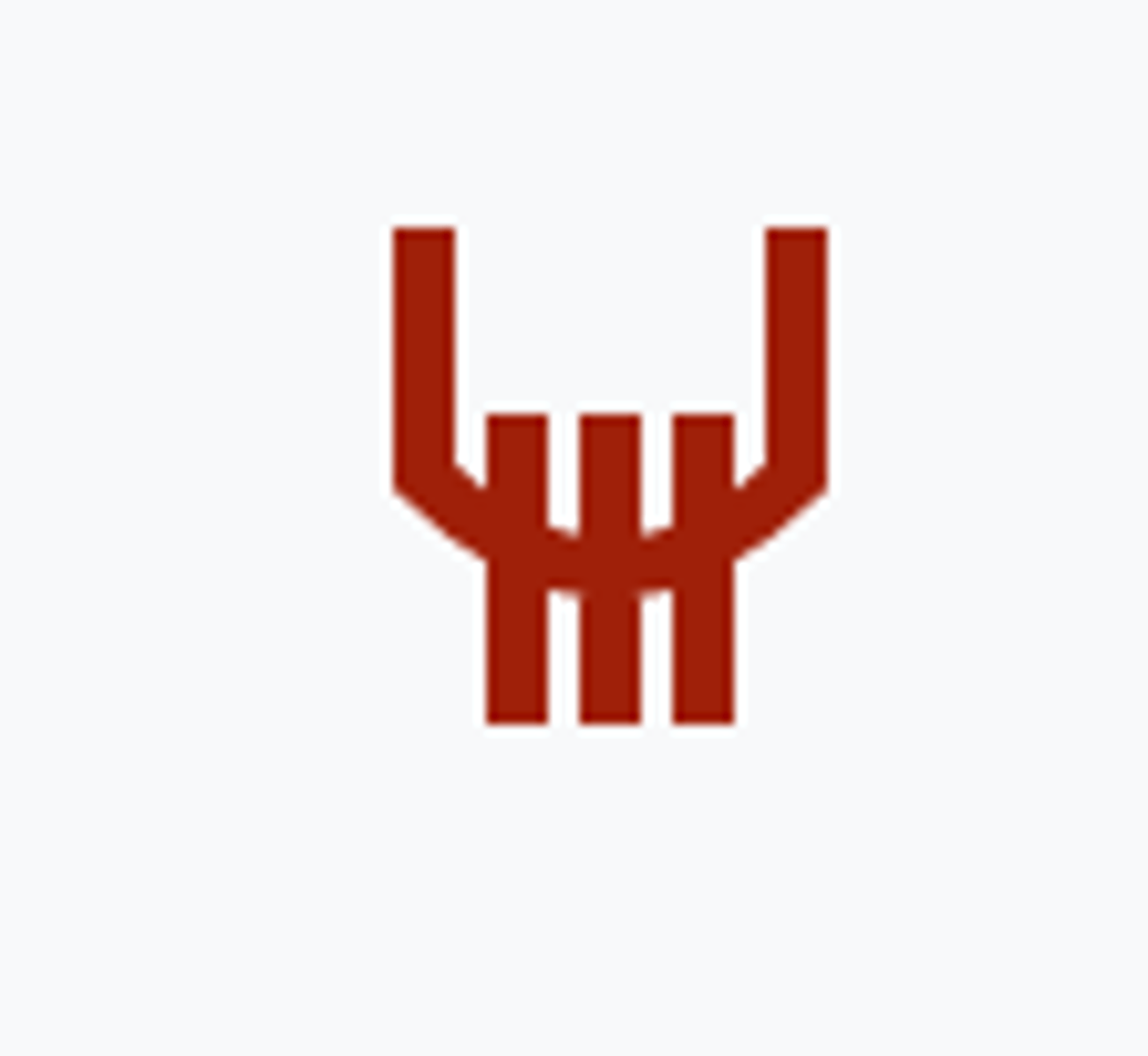
Thunderstorm with light to moderate hail
TSGR
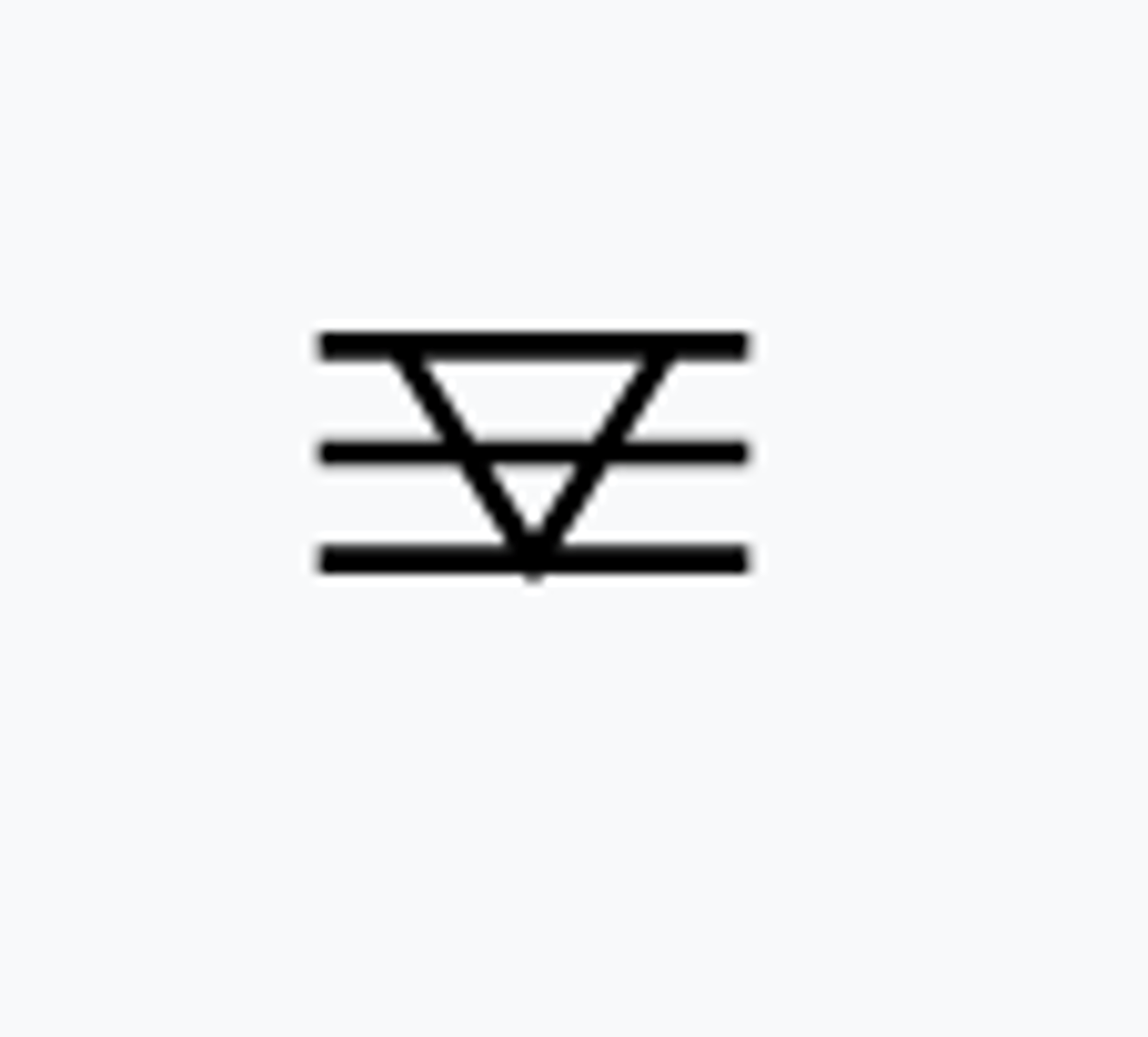
Thunderstorm with light to moderate snow
TSSN
Squalls
SQ
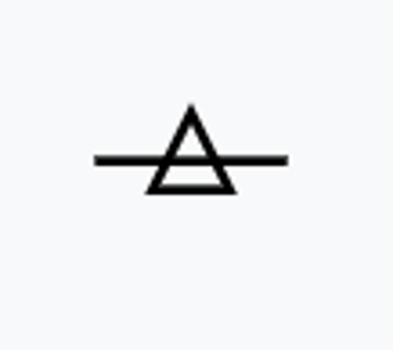
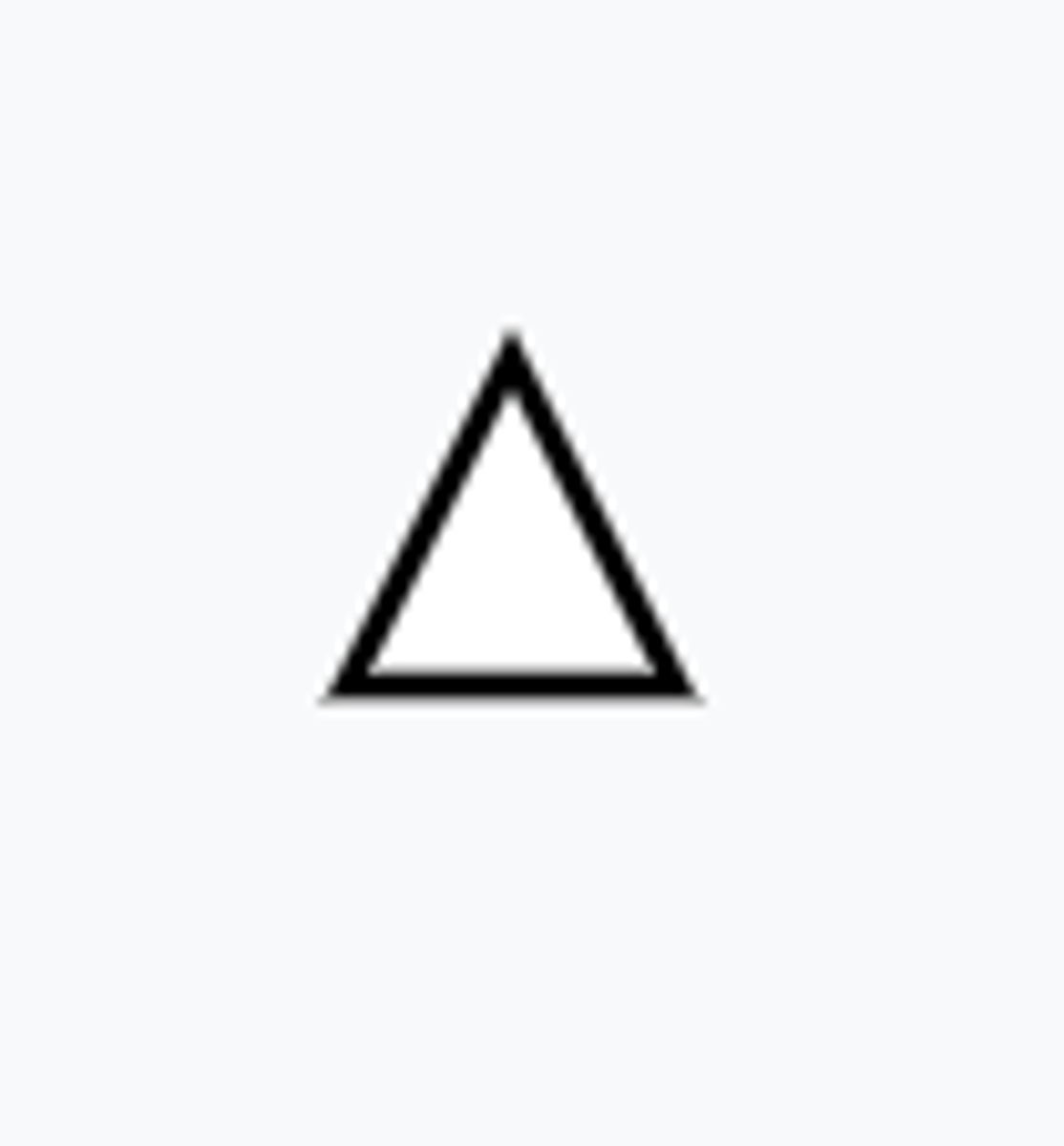
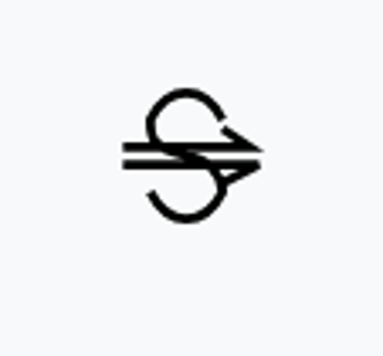
Funnel Cloud or Tornado
FC
Mist or Light Fog
BR
Fog, sky indiscernible
FG
More or less continuous shallow fog
MIFG
Vicinity Fog
VCFG
Patchy Fog
BCFG
Fog, sky discernible
PRFG
Freezing Fog
FZFG
Light Drizzle
-DZ
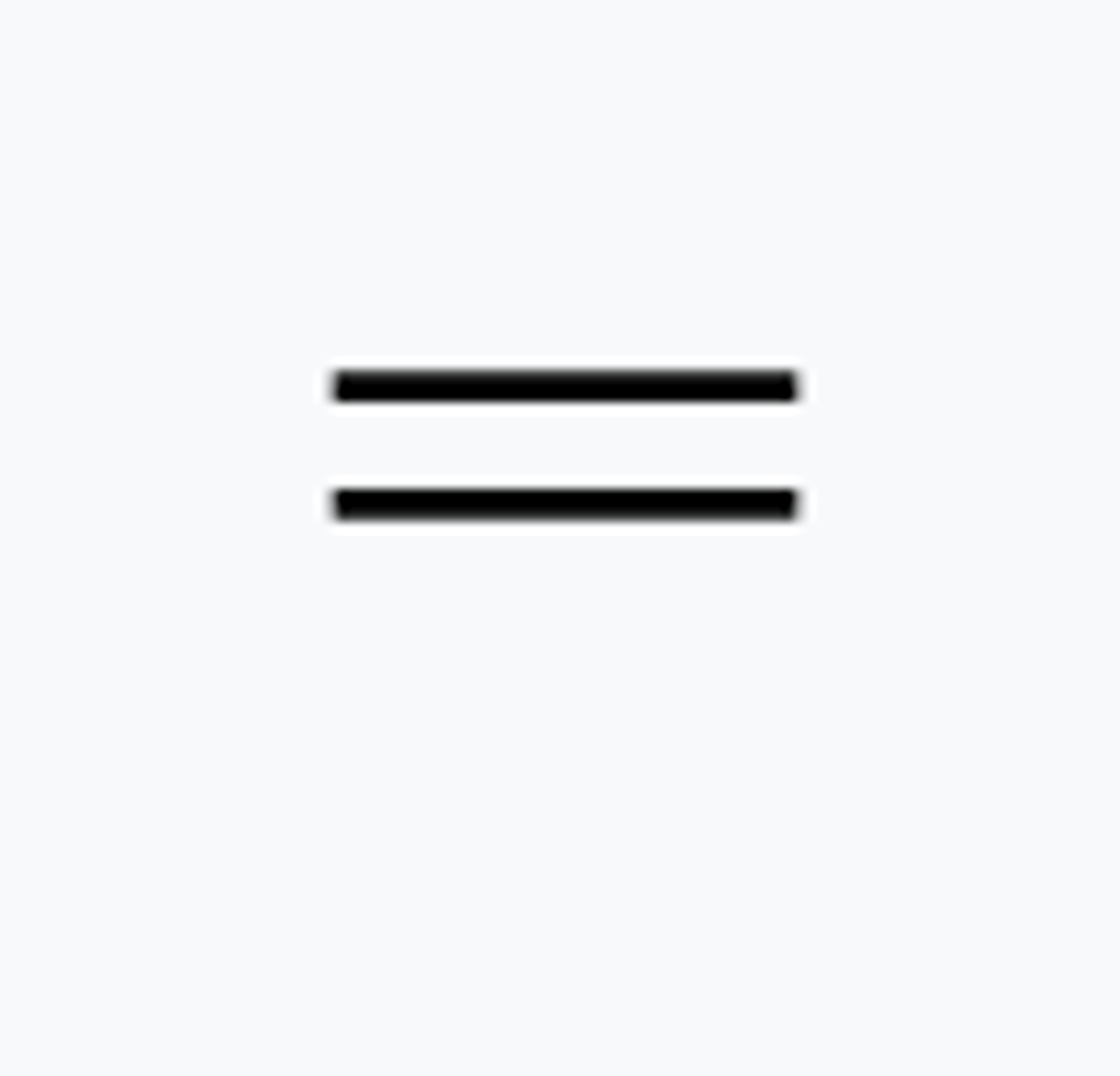
Drizzle
DZ
Heavy Drizzle
+DZ
Light Freezing Drizzle
-FZDZ
Moderate to heavy freezing drizzle
FZDZ +FZDZ
Light drizzle and rain
-DZRA
Moderate to heavy drizzle and rain
DZRA
Virga or precipitation not hitting ground
VIRGA

Smoke or Volcanic Ash
FU VA
Haze
HZ
Dust or Sand
DU SA
Blowing Dust/Blowing Sand
BLDU/BLSA
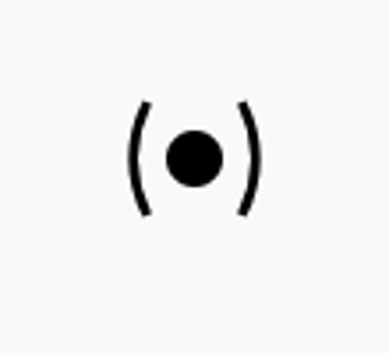
Dust Devil
PO
Vicinity Sand Storm
VCSS
Sand Storm
SS
Strong Sand Storm
+SS
Unknown Precipitation/Weather
UP

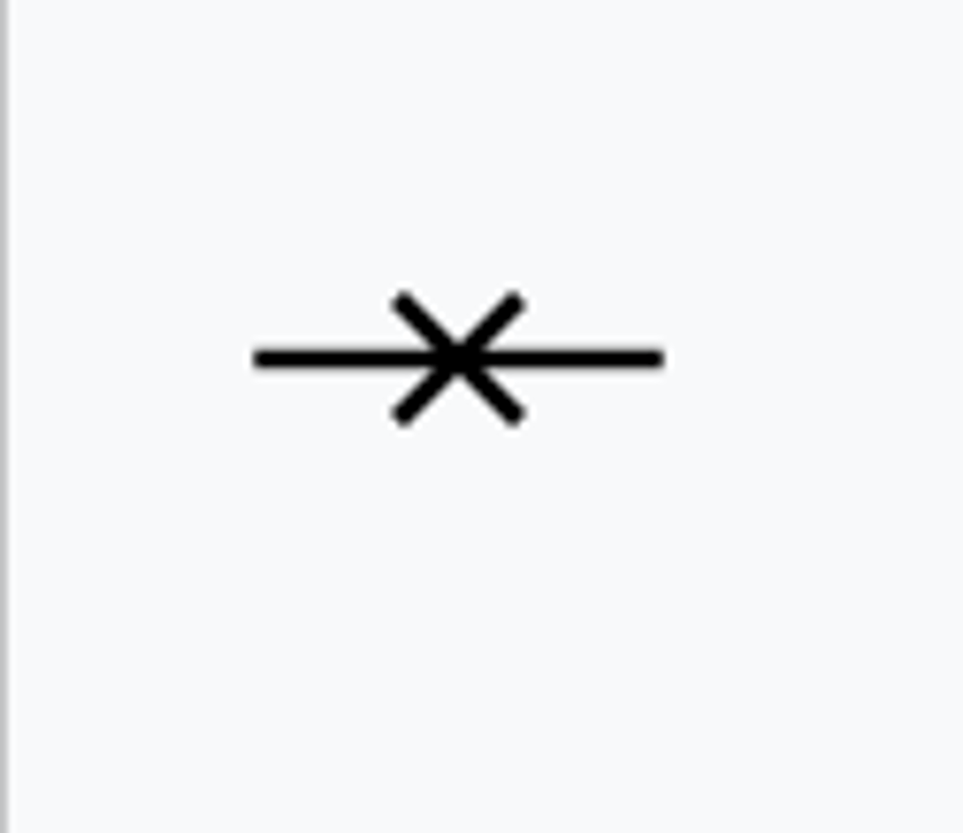
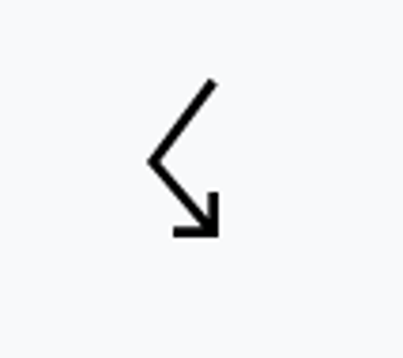
Turbulence not encountered
Smooth-light turbulence

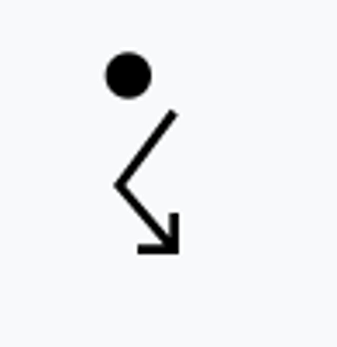
Light turbulence

Light-moderate turbulence

Moderate turbulence

Moderate-severe turbulence

Severe turbulence

Extreme turbulence

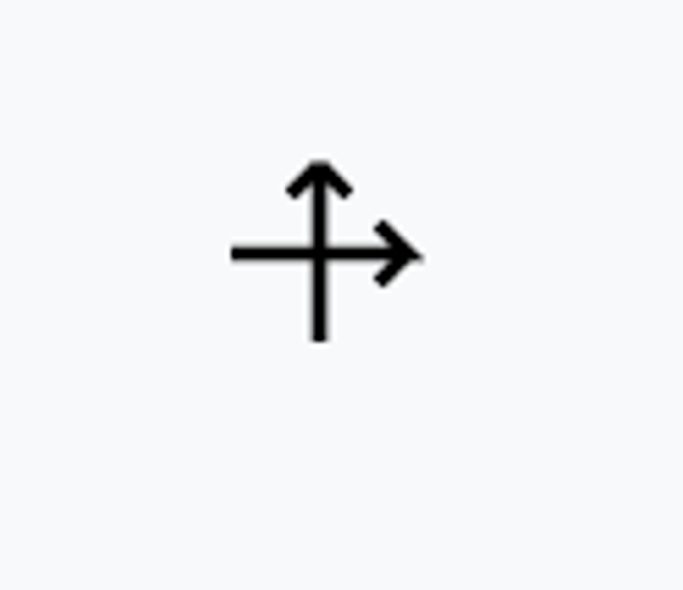
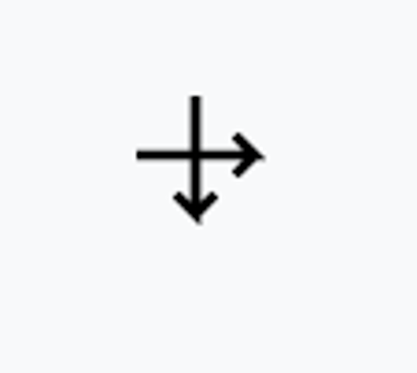
Low-level wind shear

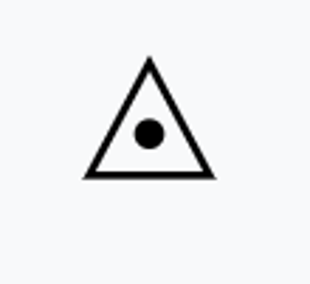
Icing not encountered
Trace icing

Trace to light icing

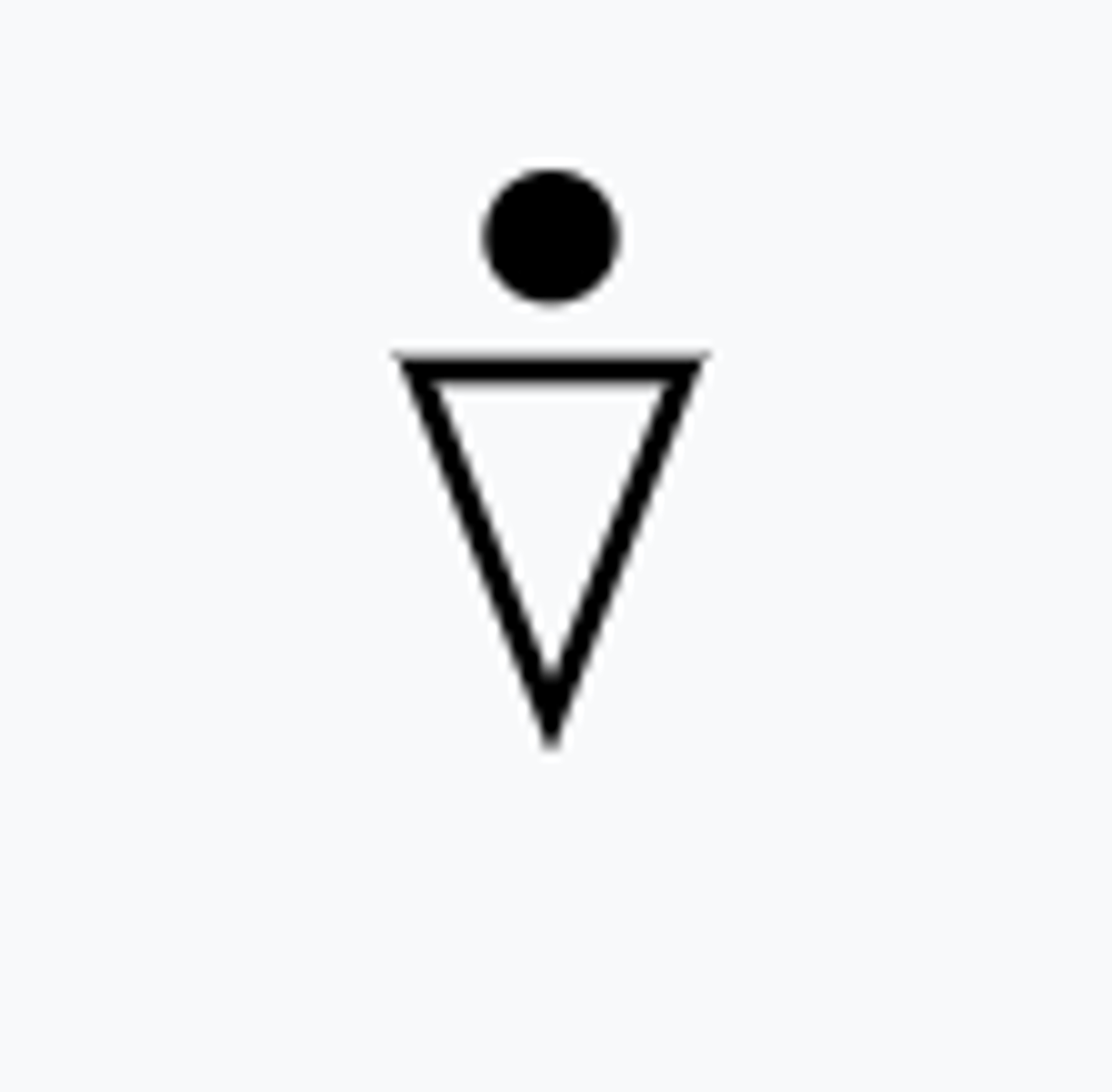
Light icing
Light to moderate icing

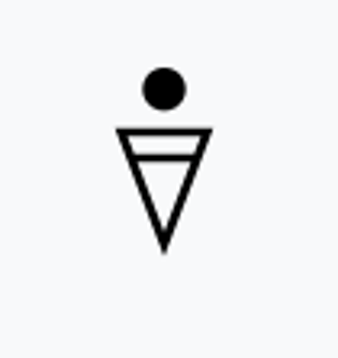
Moderate icing

Moderate to severe icing

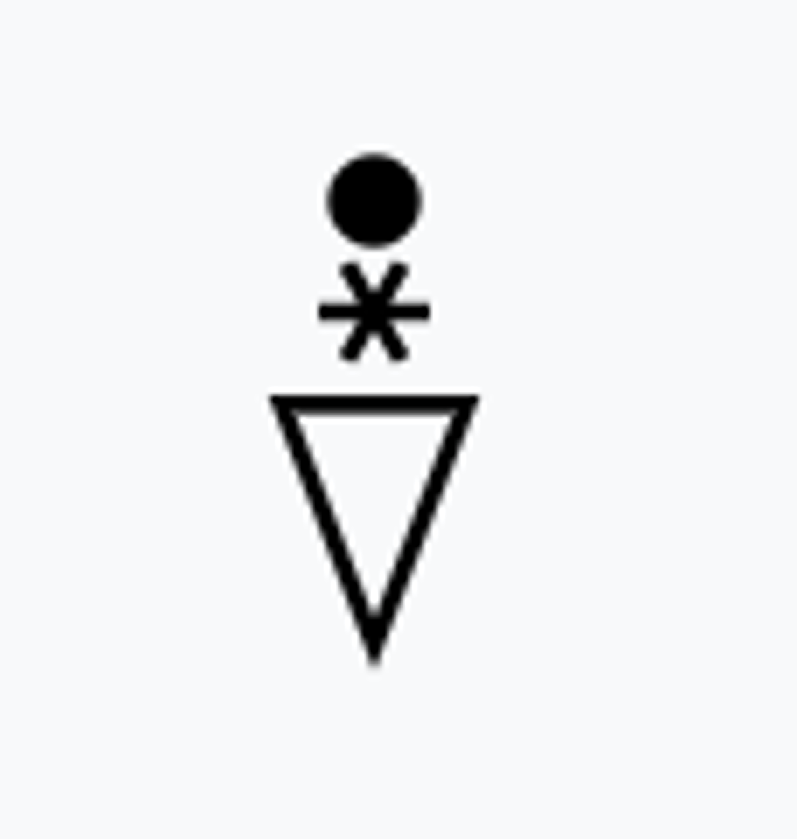
Severe icing
Other
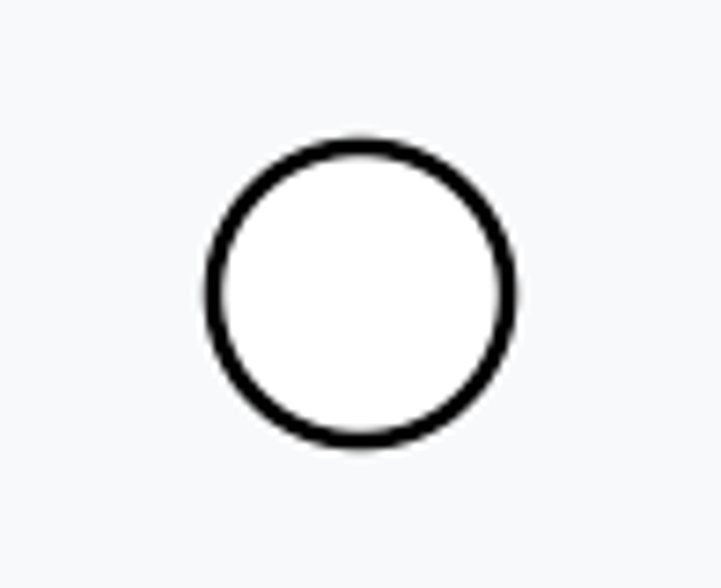
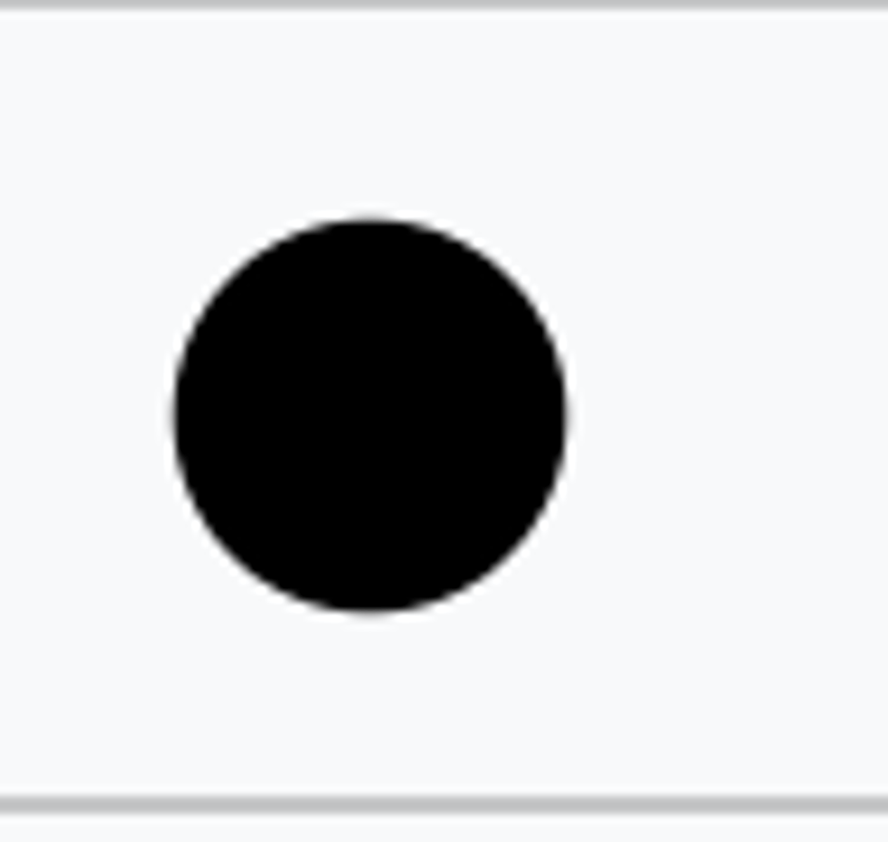
Clear
CLR
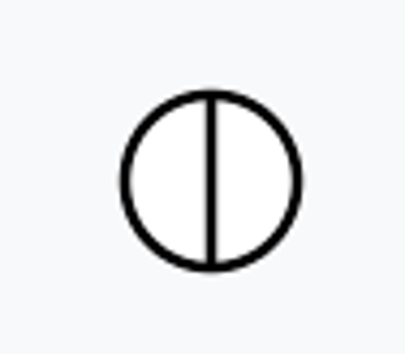
Few
FEW
Scattered
SCT
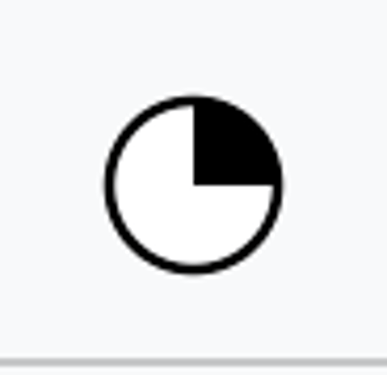
Broken
BKN
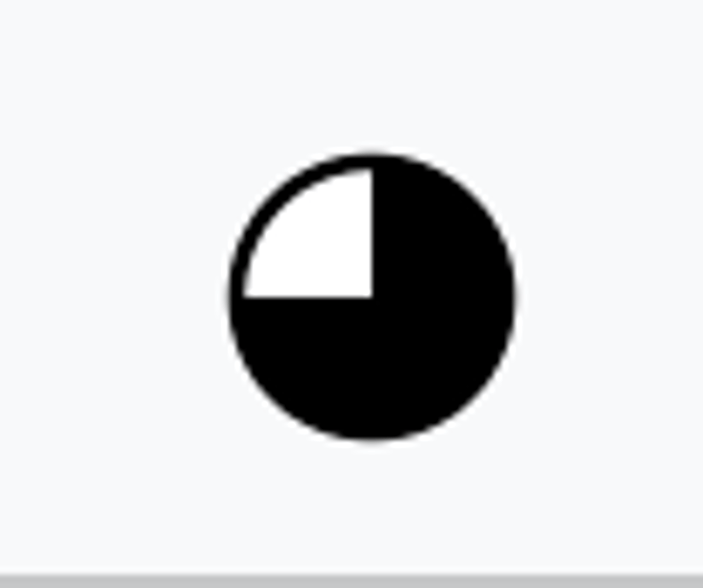
Overcast
OVC
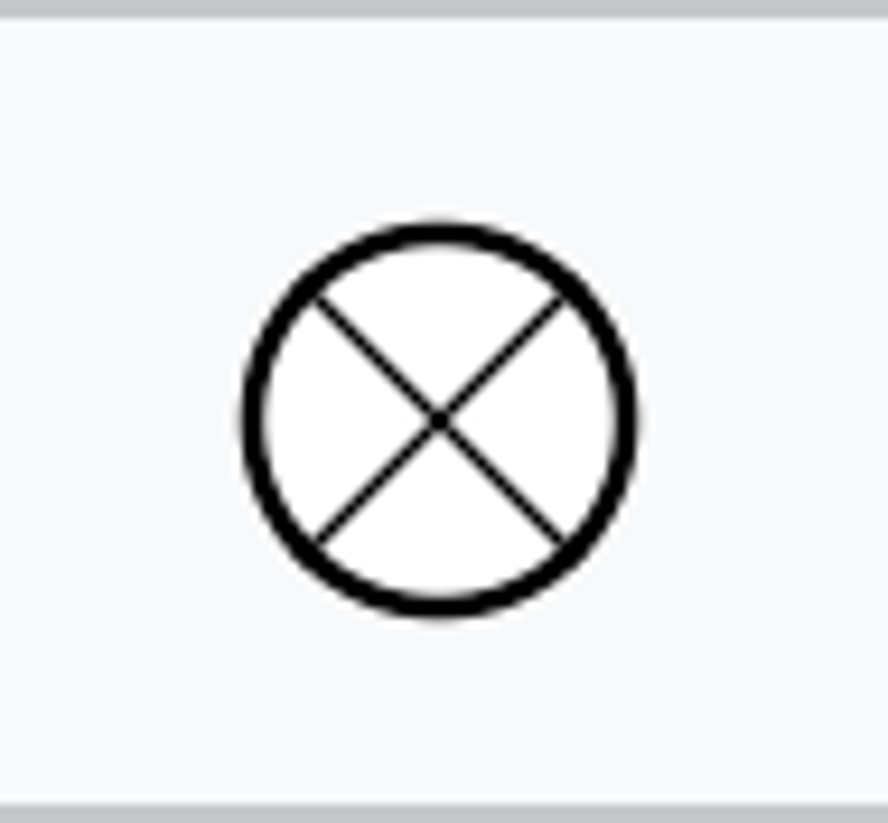
Vertical visibility
VV/OVX
Missing

No ceiling or ceiling greater than 3,000 feet AGL and greater than 5 mile visibility
VFR

VFR with non-ceiling clouds below 3,000 ft AGL
VFR*

1,000 to 3,000 feet AGL and/or 3 to 5 miles
MVFR
500 to below 1,000 feet AGL and/or 1 mile to less than 3 miles
IFR

Below 500 feet AGL and/or less than 1 mile
LIFR

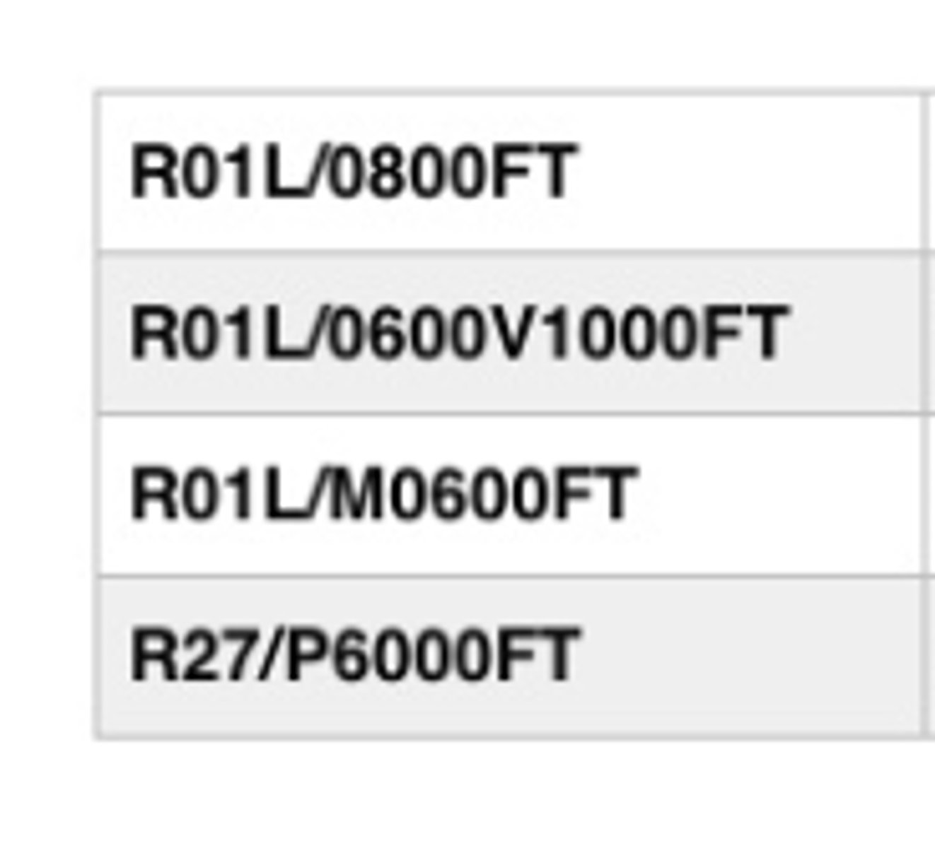
Runway visual range
- M means Minus (or below)
- P means Plus (or above)
What does RVR mean?
The station has no way to differentiate between types of precipitation. It may be raining or snowing, but you won't know it if you see an AO1.
What does A01 mean?
The station can tell the difference between snow and rain.
What does A02 mean?
"350" indicate the wind direction it's coming from.
The next two numbers, "45" indicate the wind speed in knots.
The number after the slash is the time after the hour. The "20" in this case means the peak wind happened at 20 past the hour.
Decode PKWND 35045/20